Browse / Brazil / Rio Grande do Sul / Gravataí
Gravataí
Rio Grande do Sulcity

Gravataí
Total population
265,074
Founded
1763
Demographic figures from IBGE. Overview below cites Wikipedia and may reference a different year.
City facts
Facts from Wikidata (CC0).
Overview
Gravataí is a Brazilian municipality in the state of Rio Grande do Sul, located north of the state capital, approximately 23 km away. It is one of the 32 municipalities within the Porto Alegre Metropolitan Region (RMPA). The municipality covers an area of 463.758 square kilometres (179.058 sq mi), with 121.37 square kilometres (46.86 sq mi) designated as the urban area, and its population was recorded in 2022 as 265,070 inhabitants, making it the sixth most populous municipality in the state and the third in the RMPA.
Read more on WikipediaHistory & geography
History
During the expansion of its territories to South America in the 18th century, the Portuguese Crown granted sesmaria letters of concession to settlers already residing in the region to encourage settlement. Pedro Gonçalves Sandoval, a native of Lima, Peru, received the first sesmaria for inhabiting the area known as the Gravataí corner, within the fields of Viamão. During this period, Captain João Lourenço Veloso also received a sesmaria, taking possession of lands in the same region, further northeast, near Morro Itacolomi. Part of these lands was later purchased by the Portuguese Crown to establish the Aldeia dos Anjos (Village of the Angels). This was the initial settlement of the village, which was later relocated to the current central area of Gravataí. With the establishment of the first four municipalities in Rio Grande do Sul on October 7, 1809, the Aldeia dos Anjos was elevated to the status of a district of Porto Alegre. On June 11, 1880, due to the heavy traffic of carts carrying goods, primarily from the North Coast and Santo Antônio da Patrulha, it was upgraded to a vila (town). Four months later, on October 23, 1880, the municipality of Gravataí was officially established. The name originates from the Guarani language, where gravatá refers to a species of Apiaceae, mistakenly classified as a Bromeliad, abundant in the region, and hy translates to river. Until the late 19th century, the correct spelling of the municipality was "Gravatahy," literally meaning "River of the Gravatás." encompassing Gravataí and 31 other municipalities. By 2001, with nearly four million inhabitants, it was the 102nd largest urban agglomeration globally. A pivotal event for the city's economy was the establishment of the General Motors Industrial Complex between the late 1990s…
Geography
According to the Brazilian Institute of Geography and Statistics, the municipality spans an area of , with forming the urban area and the remaining comprising the rural area. The terrain of Gravataí and the Porto Alegre Metropolitan Region is characterized by three major morphostructural domains: sedimentary deposits, sedimentary basins, and sedimentary covers, alongside complex basement structures. The geology of the RMPA is defined by four tectono-structural domains, distinguished by their depositional environment, origin, litho-structural characteristics, and age. These include the Canguçu Ridge (represented by the Arroio dos Ratos Gneissic Complex, comprising orthogneisses ranging from tonalitic to granodiorite), the Dom Feliciano Belt (consisting of undeformed granite rocks associated with acidic volcanic rocks such as dacites, rhyolites, and rhyodacites), the Paraná Basin (represented by rocks from the Permian and Triassic periods), and the Coastal Plain and Alluvia. with two distinct seasons: warm summers and cold winters. This is influenced by both its latitude and the effects of anticyclones from the Atlantic Ocean and the mobile polar anticyclone. The warmest month, February, has an average temperature of 25.5°C, with an average high of 30°C and a low of 21°C. The coldest months, June and July, have an average temperature of 15°C, with average highs of 19°C and lows of 11°C. Hailstorms are rare in the city, but a notable event occurred on August 27, 2010. According to data from Weather Base, the highest recorded temperature in the city was 41°C, while the lowest was -4°C. Other significant accumulations included 108 mm on July 29, 1995; 95 mm on July 5, 1993; 93 mm on July 10, 2000; 89 mm on June 10 and November 5, 1999; and 87 mm on June 19, 1994.…
Excerpted from the corresponding Wikipedia article (CC BY-SA).
Geography
Coordinates & boundaries from the US Census TIGER/Line shapefiles.
Climate
Air quality
Walkability
Amenities nearby
Wildlife & biodiversity
Earthquake history
Photos
Sights & places nearby
Notable people from here


People born within ~10 km, from Wikidata (CC0). Click any name for their Wikipedia article.
Nearby places in Rio Grande do Sul
- Barro Vermelho5.4 mi away · pop. 7,035
- Costa do Ipiranga5.6 mi away · pop. 4,894
- Morungava8.2 mi away · pop. 6,168
- Passo da Areia16.5 mi away
- Capão da Porteira21.6 mi away
- Catanduva Grande23.9 mi away
- Nova Hartz25.4 mi away · pop. 20,088
- Lindolfo Collor27.4 mi away · pop. 6,248
- Rolantinho30.7 mi away
- Porto Batista31.4 mi away
- Presidente Lucena31.5 mi away · pop. 3,077
- Capivari do Sul31.9 mi away · pop. 3,991
Geography & sun
Elevation, sunrise/sunset and daylight from Open-Meteo. Solar climatology from NASA POWER.
Nearby airports
Public attention
Pageview totals from the Wikimedia Pageviews API.
Books about Gravataí
Search results from Open Library.
Recent natural events nearby
Ground air-quality sensors
Recently spotted species
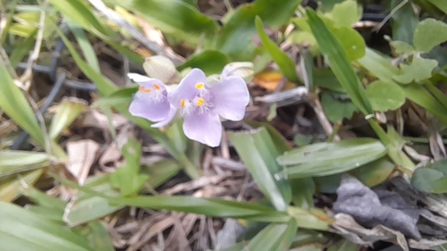
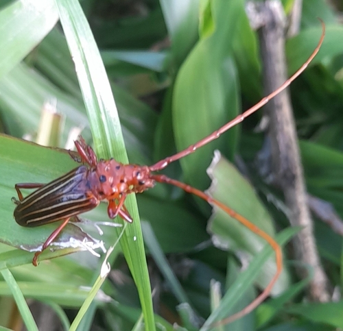
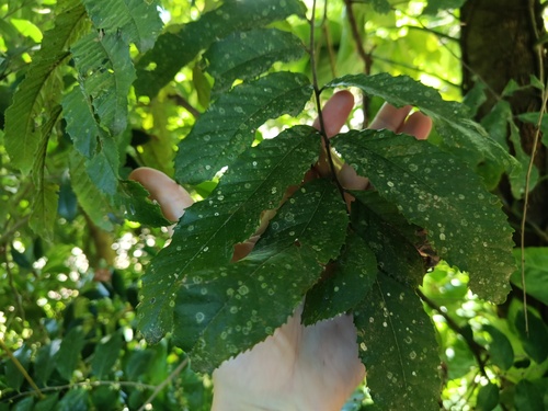
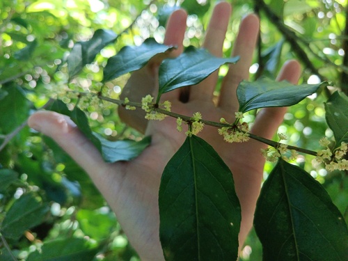
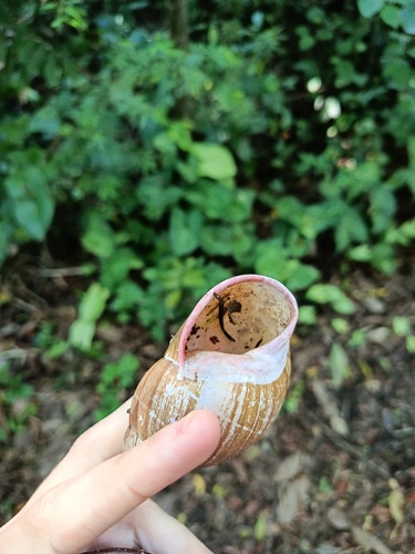
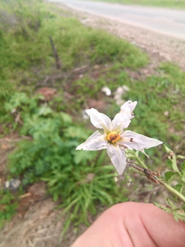
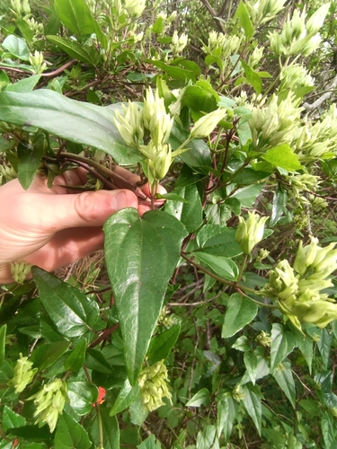
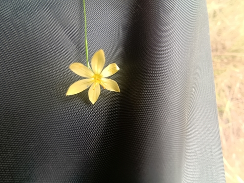
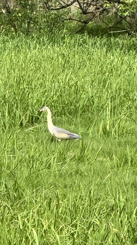
Research-grade observations from iNaturalist (within ~15 mi).
Events
Gallery
Official Identifiers
IBGE — Brazilian Institute of Geography and Statistics
- IBGE code
- 4309209
- UF
- RS
- Mesorregião
- Metropolitana de Porto Alegre
- Microrregião
- Porto Alegre
servicodados.ibge.gov.br
Sources
- • Wikipedia
- • Wikidata
- • iNaturalist
- • Open-Meteo / sunrise-sunset.org
- • Wikipedia Pageviews API
- • Open Library
- • Wikidata SPARQL (CC0) — population, area, elevation, inception, head of government, Commons image
- • IBGE — Brazilian national statistics, via servicodados.ibge.gov.br (official municipal code, UF, mesorregião, microrregião, region)
- • IBGE — Brazilian Institute of Geography and Statistics — servicodados.ibge.gov.br