Browse / Brazil / Espírito Santo / Guarapari
Guarapari
Espírito Santocity

Guarapari
Total population
124,656
Founded
1679
Air quality index
Demographic figures from IBGE. Overview below cites Wikipedia and may reference a different year.
City facts
Facts from Wikidata (CC0).
Overview
Guarapari is a coastal town of Espírito Santo, Brazil, a popular tourist destination. Its beach is famous for the high natural radioactivity level of its sand.
Read more on WikipediaHistory & geography
History
Around the year 1000, the Indigenous people who occupied the southern coast of what is now the state of Espírito Santo were driven inland by the invasion of Tupi peoples from the Amazon. In the 16th century, when the first European explorers arrived in the region, it was inhabited by one of these Tupi peoples: the Temiminós. In 1585, the Jesuit priest José de Anchieta founded a Jesuit mission to catechize the Indigenous people of the region: the village of Rio Verde, or the village of Santa Maria de Guaraparim. The village had a convent and a church dedicated to Saint Anne. For its inauguration, Anchieta composed the Auto Tupi. In 1677, the church of Our Lady of the Conception was built. In 1679, the village of Guaraparim was elevated to the status of a town. In 1835, the district of Guarapari was created. In 1860, the district received a visit from the Brazilian Emperor Dom Pedro II. In 1878, it became a municipality. In 1891, it acquired city status. At the end of the 19th century, European settlers (mostly Italians who landed on the Benevente River) settled in the municipality's interior, founding the towns of Todos os Santos and Rio Calçado, among others. These families' main economic activity was coffee, in addition to the cultivation they cultivated for their own subsistence. In 1948, its own town hall was established. In the mid-1960s and 1970s, Guarapari became nationally famous due to the purported medicinal properties of its monazite sands. As a result, there was a growing tourist wave around the city.
Geography
Guarapari is a part of Greater Vitoria, 47 km south of the state capital Vitória. Its population is 126,701 (2020) and its area is 592 km2. It is a well-known tourist destination, known for its curving white sand beaches backed by commercial development, which extend southward to Nova Guarapari and Meaípe. With its heavily built-up coastline like Vila Velha and Vitória, it caters heavily to seasonal tourists, and consequently has quite a dramatic seasonal population fluctuation. The municipality contains the Concha d'Ostra Sustainable Development Reserve, established in 2003 to protect the mangroves of the Bay of Guarapari. It also contains the Paulo César Vinha State Park, which protects an area of dunes, lagoons and marshes along the Atlantic shore. Formerly called the Setiba nature reserve, it is a pristine example of a coastal ecosystem and important for local turtle and bird populations.
Excerpted from the corresponding Wikipedia article (CC BY-SA).
Geography
Coordinates & boundaries from the US Census TIGER/Line shapefiles.
Climate
Air quality
Current readings from Open-Meteo Air Quality API (Copernicus CAMS European reanalysis).
Walkability
Amenities nearby
Wildlife & biodiversity
Most-observed species
- Great KiskadeePitangus sulphuratus (Linnaeus, 1766) · Aves106
- Tropical KingbirdTyrannus melancholicus Vieillot, 1819 · Aves101
- Saffron FinchSicalis flaveola (Linnaeus, 1766) · Aves99
- Black VultureCoragyps atratus (Bechstein, 1793) · Aves97
- Tropical MockingbirdMimus gilvus (Vieillot, 1808) · Aves95
- Picazuro PigeonPatagioenas picazuro (Temminck, 1813) · Aves73
- Southern House WrenTroglodytes musculus J.F.Naumann, 1823 · Aves73
- Lesser Yellow-headed VultureCathartes burrovianus Cassin, 1845 · Aves70
Citizen-science & research observations from the Global Biodiversity Information Facility (GBIF).
Earthquake history
Events from the USGS Earthquake Catalog (global) (FDSN Event Web Service).
Photos
Sights & places nearby
Notable people from here


People born within ~10 km, from Wikidata (CC0). Click any name for their Wikipedia article.
Nearby places in Espírito Santo
Geography & sun
Elevation, sunrise/sunset and daylight from Open-Meteo. Solar climatology from NASA POWER.
Nearby airports
Public attention
Pageview totals from the Wikimedia Pageviews API.
Books about Guarapari
Search results from Open Library.
Recent natural events nearby
Ground air-quality sensors
Recently spotted species
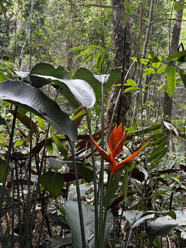
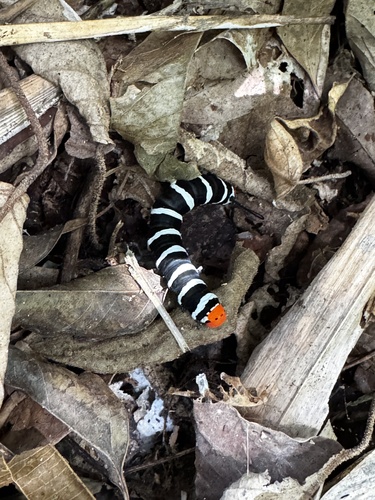
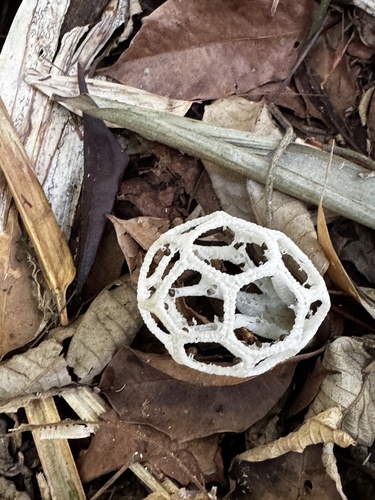
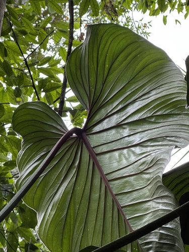
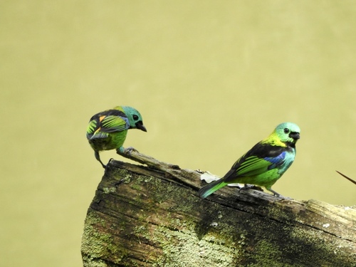
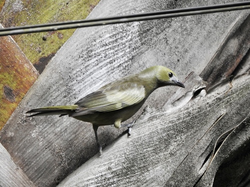
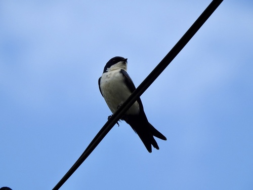
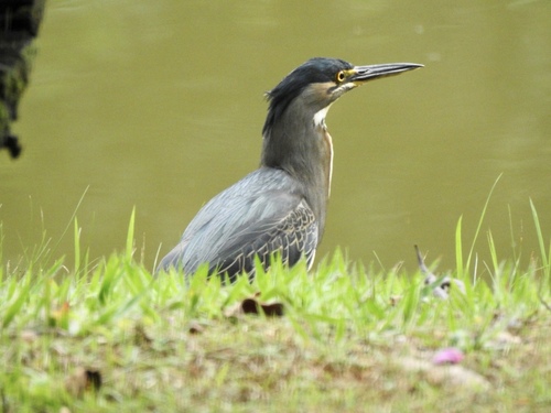
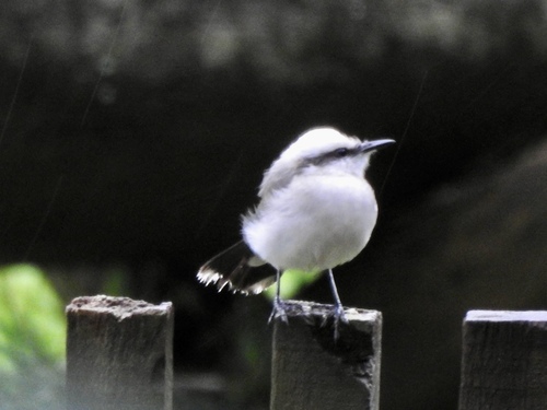
Research-grade observations from iNaturalist (within ~15 mi).
Events
Gallery
Official Identifiers
IBGE — Brazilian Institute of Geography and Statistics
- IBGE code
- 3202405
- UF
- ES
- Mesorregião
- Central Espírito-santense
- Microrregião
- Guarapari
servicodados.ibge.gov.br
Sources
- • Wikipedia
- • Wikidata
- • Open-Meteo Air Quality (CAMS)
- • USGS Earthquake Catalog (global feed)
- • GBIF (Global Biodiversity Information Facility)
- • iNaturalist
- • Open-Meteo / sunrise-sunset.org
- • Wikipedia Pageviews API
- • Open Library
- • Wikidata SPARQL (CC0) — population, area, elevation, inception, head of government, Commons image
- • IBGE — Brazilian national statistics, via servicodados.ibge.gov.br (official municipal code, UF, mesorregião, microrregião, region)
- • IBGE — Brazilian Institute of Geography and Statistics — servicodados.ibge.gov.br