Browse / Brazil / São Paulo / Guarujá
Guarujá
São Paulocity

Guarujá
Total population
287,634
Founded
1934
Demographic figures from IBGE. Overview below cites Wikipedia and may reference a different year.
City facts
Sister cities
Facts from Wikidata (CC0).
Overview
Guarujá is a municipality in the São Paulo state of Brazil. It is part of the Metropolitan Region of the Baixada Santista. The population is 311,116 in an area of 143.58 km2 (55.44 sq mi). This place name comes from the Tupi language, and means "narrow path". The population is highly urbanized, forms a 2nd urban core and beachfront island across the river from São Vicente Island, the island is coterminous with the municipality, with exception of small offshore isles like Ilha dos Arvoredos.
Read more on WikipediaHistory & geography
Geography
Guarujá is located on the Santo Amaro Island, situated on the shore of São Paulo. Its main economic sources are seasonal tourism and port related activities. Guarujá is a popular weekend destination for families from São Paulo, who can get there driving in less than one hour (through the Imigrantes highway). Traffic gets heavy during the evening on the holidays. Guarujá has a borough called Vicente de Carvalho, in tribute to the Parnasianist poet. A nickname for the city is "The Pearl of the Atlantic". In total, Guarujá has 27 beaches, with the most famous including Guaiúba, Tombo, Astúrias, Pitangueiras, Enseada, Pernambuco, Perequê, São Pedro, Tijucopava, Iporanga, Praia Branca and Praia Preta.
Excerpted from the corresponding Wikipedia article (CC BY-SA).
Geography
Coordinates & boundaries from the US Census TIGER/Line shapefiles.
Climate
Air quality
Walkability
Amenities nearby
Wildlife & biodiversity
Earthquake history
Photos
Sights & places nearby
Notable people from here
Nearby places in São Paulo
- Vila Zilda1.3 mi away
- Vila Edna1.5 mi away
- Vicente de Carvalho3.9 mi away
- São Vicente8.4 mi away · pop. 329,911
- Bairro das Palmeiras24.6 mi away
- Biritiba-Ussu26.4 mi away
- Cipó-Guaçu34.9 mi away
- Nossa Senhora do Remédio35.8 mi away
- Embu-Guaçu37.1 mi away · pop. 66,970
- São Lourenço da Serra44.5 mi away · pop. 16,067
- Embu das Artes44.6 mi away · pop. 250,691
- São Silvestre de Jacareí45.9 mi away
Geography & sun
Elevation, sunrise/sunset and daylight from Open-Meteo. Solar climatology from NASA POWER.
Nearby airports
Public attention
Pageview totals from the Wikimedia Pageviews API.
Books about Guarujá

Search results from Open Library.
Recent natural events nearby
Ground air-quality sensors
Recently spotted species
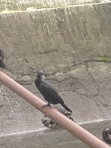

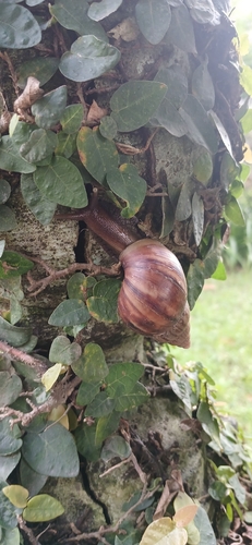
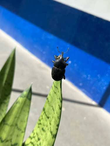
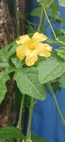
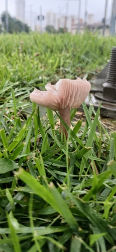
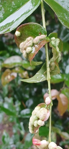
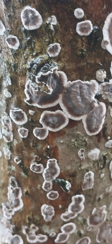
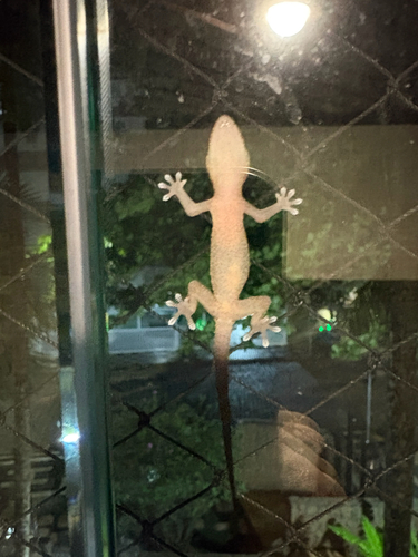
Research-grade observations from iNaturalist (within ~15 mi).
Events
Gallery
Official Identifiers
IBGE — Brazilian Institute of Geography and Statistics
- IBGE code
- 3518701
- UF
- SP
- Mesorregião
- Metropolitana de São Paulo
- Microrregião
- Santos
servicodados.ibge.gov.br
Sources
- • Wikipedia
- • Wikidata
- • iNaturalist
- • Open-Meteo / sunrise-sunset.org
- • Wikipedia Pageviews API
- • Open Library
- • Wikidata SPARQL (CC0) — population, area, elevation, inception, head of government, Commons image
- • IBGE — Brazilian national statistics, via servicodados.ibge.gov.br (official municipal code, UF, mesorregião, microrregião, region)
- • IBGE — Brazilian Institute of Geography and Statistics — servicodados.ibge.gov.br