Browse / Brazil / São Paulo / Guarulhos
Guarulhos
São Paulocity

Guarulhos
Total population
1,291,771
Founded
1560
Demographic figures from IBGE. Overview below cites Wikipedia and may reference a different year.
City facts
Facts from Wikidata (CC0).
Overview
Guarulhos is a city and municipality located in the Metropolitan Region of São Paulo, São Paulo state, Brazil. It is located northeast of the state capital, São Paulo. It is the second most populous city in the state of São Paulo, the 13th most populous city in Brazil, and the most populous city in the country that is not a state capital. Its population is 1,345,364 as of 2024, slightly above that of the nearby city of Campinas, with an area of 318.68 km2.
Read more on WikipediaHistory & geography
History
Guarulhos was founded on December 8, 1560, by Jesuit priest Manuel de Paiva and named Nossa Senhora da Conceição. Its origin is linked to five other small villages that were in charge of defending the boundaries of São Paulo de Piratininga Village against the Tamoios, a tribe of Indigenous people that lived in that region. In the sixteenth century, Guarulhos was a strategic location: it bordered the future São Paulo's Capital and was surrounded by the Tietê (south), and Cabuçu de Cima (west) rivers. For similar reasons, São Miguel Village (now the São Miguel Paulista District in São Paulo) was established during the same period. In 1880, Guarulhos separated from São Paulo and was named Nossa Senhora da Conceição dos Guarulhos. Its current name, Guarulhos, was adopted later, after the enactment of the law #1.021, on November 6, 1906. The early 20th century was marked by the arrival of the railway and electricity (Light & Power), requests for the installation of the telephone network, licences for the establishment of industries and commercial activities, and passenger transport services. During the 1930s, the city witnessed the actions of the Federal Intervention and the Constitutional Movement (Reflections of the Revolution that marked the end of the "Old Republic" during the 1930s in Brazil). In 1940 the Monteiro Lobato Municipal Library was founded, in 1941, the first Health Center of the city, and ten years after that, the Holy House of Mercy of Guarulhos was established. On that decade arrive in the municipality industries from different sectors: electricity; metallurgy; plastics; food; rubber; footwear; vehicles; clocks, and leather. In 1985 the Cumbica Airport was opened. Today it is called "International Airport of São Paulo–Guarulhos Governor André Franco…
Excerpted from the corresponding Wikipedia article (CC BY-SA).
Geography
Coordinates & boundaries from the US Census TIGER/Line shapefiles.
Climate
10-year averages from ERA5 reanalysis (Open-Meteo).
Air quality
Walkability
Amenities nearby
Wildlife & biodiversity
Earthquake history
Photos
Sights & places nearby
Notable people from here


People born within ~10 km, from Wikidata (CC0). Click any name for their Wikipedia article.
Nearby places in São Paulo
- Bairro das Palmeiras17.9 mi away
- Jardim Copacabana21.8 mi away
- Morro do índio22 mi away
- Vila Gilda22.8 mi away
- Chácara Santa Maria23 mi away
- Cidade Ipava23.1 mi away
- Jardim São Lourenço23.2 mi away
- Cajamar23.4 mi away · pop. 92,689
- Jardim Aracati23.4 mi away
- Jardim Idemori23.5 mi away
- Embu das Artes24.1 mi away · pop. 250,691
- Jardim São Pedro24.5 mi away
Geography & sun
Elevation, sunrise/sunset and daylight from Open-Meteo. Solar climatology from NASA POWER.
Nearby airports
Public attention
Pageview totals from the Wikimedia Pageviews API.
Books about Guarulhos

Search results from Open Library.
Recent natural events nearby
Ground air-quality sensors
Recently spotted species
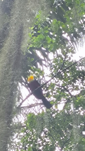
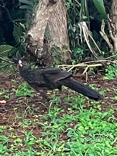

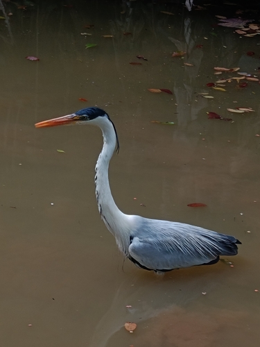

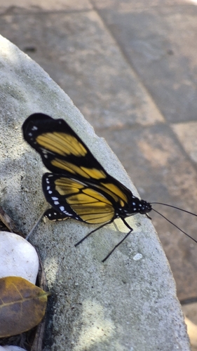
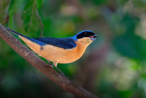
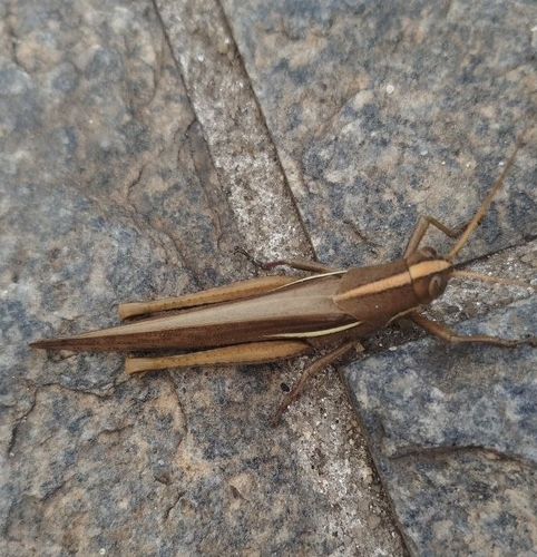
Research-grade observations from iNaturalist (within ~15 mi).
Events
Gallery
Official Identifiers
IBGE — Brazilian Institute of Geography and Statistics
- IBGE code
- 3518800
- UF
- SP
- Mesorregião
- Metropolitana de São Paulo
- Microrregião
- Guarulhos
servicodados.ibge.gov.br
Sources
- • Wikipedia
- • Open-Meteo (ERA5 reanalysis)
- • Wikidata
- • iNaturalist
- • Open-Meteo / sunrise-sunset.org
- • Wikipedia Pageviews API
- • Open Library
- • Wikidata SPARQL (CC0) — population, area, elevation, inception, head of government, Commons image
- • IBGE — Brazilian national statistics, via servicodados.ibge.gov.br (official municipal code, UF, mesorregião, microrregião, region)
- • IBGE — Brazilian Institute of Geography and Statistics — servicodados.ibge.gov.br