Browse / Brazil / São Paulo / Holambra
Holambra
São Paulotown

Holambra
Total population
15,094
Founded
1948
Demographic figures from IBGE. Overview below cites Wikipedia and may reference a different year.
City facts
Facts from Wikidata (CC0).
Overview
Holambra is a municipality in the state of São Paulo in Brazil. It is part of the Metropolitan Region of Campinas. Holambra is the largest producer of flowers and ornamental plants in Latin America, also hosting the largest spring event in the continent, the Expoflora. The population is 15,272 in an area of 65.58 km. The elevation is 600m on average.
Read more on WikipediaHistory & geography
History
The colony Holambra and The Cooperativa Agropecuária de Holambra (Cattle Farming Cooperative) were founded in 1948 by Catholic Dutch immigrants at the farm Fazenda Ribeirão, situated between the cities Jaguariúna, Santo Antonio de Posse, Artur Nogueira and Cosmópolis. After the devastation caused by World War II, the Dutch government stimulated emigration to Australia, Brazil, Canada and France. Brazil was the only nation to allow the arrival of large groups of Catholics. With the consent of the Brazilian government, the Catholic Dutch Farmers and Market-gardeners Union (Dutch: Katholieke Nederlandse Boeren- en Tuindersbond) coordinated the emigration process. A group of approximately 650 migrants from the province of North Brabant arrived in Brazil, establishing their first colony at the farm of Fazenda Ribeirão in the state of São Paulo. Holambra I was founded on July 14, 1948. After a referendum in 1991 where 98% of the population voted in favor of political autonomy for the area, Holambra gained city status in January 1993. Famous for its large production of flowers and plants and for the yearly event [https://www.expoflora.com.br/ Expoflora], Holambra receives thousands of tourists each year. In April 1998 this fact was recognized as Holambra gained the status of Estância Turística, touristic location.
Excerpted from the corresponding Wikipedia article (CC BY-SA).
Geography
Coordinates & boundaries from the US Census TIGER/Line shapefiles.
Climate
Air quality
Walkability
Amenities nearby
Wildlife & biodiversity
Earthquake history
Photos
Sights & places nearby
Notable people from here
Nearby places in São Paulo
- Usina Esmeralda8.7 mi away
- Martim Francisco9.9 mi away
- Chacaras São Francisco10.3 mi away
- Betel12.6 mi away
- Arcadas14.7 mi away
- Tujuguaba18.9 mi away
- Jardim Europa21 mi away
- Zona Leste (SBO)21.2 mi away
- Vila Mollon21.5 mi away
- Serra Negra22.7 mi away · pop. 29,894
- Jardim Santa Rita23.4 mi away
- Martinho Prado Júnior24.4 mi away
Geography & sun
Elevation, sunrise/sunset and daylight from Open-Meteo. Solar climatology from NASA POWER.
Nearby airports
Public attention
Pageview totals from the Wikimedia Pageviews API.
Books about Holambra
Search results from Open Library.
Recent natural events nearby
Ground air-quality sensors
Recently spotted species
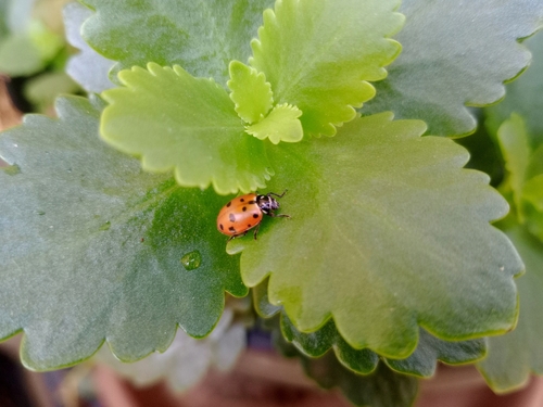
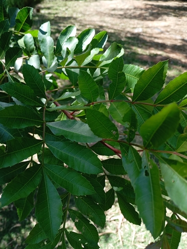
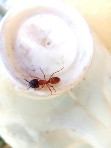
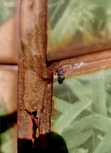
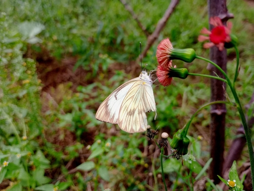
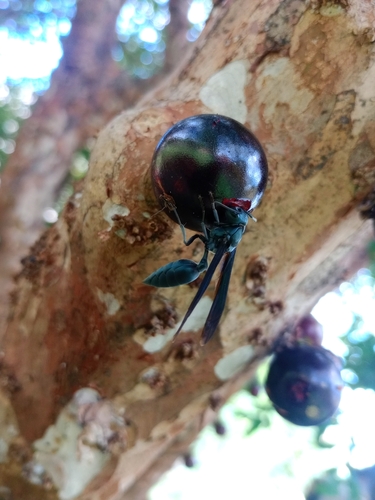
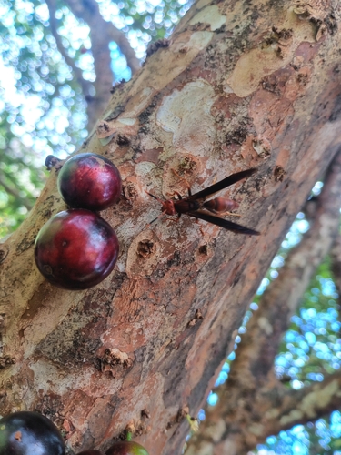
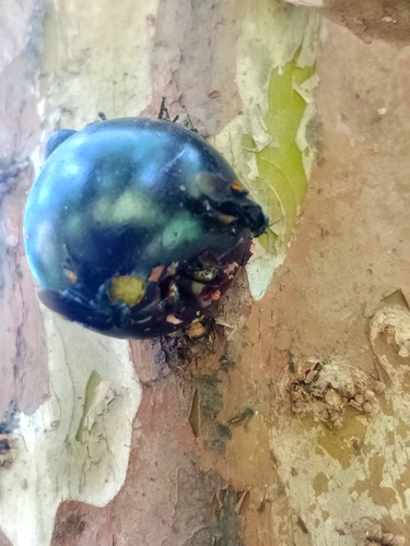
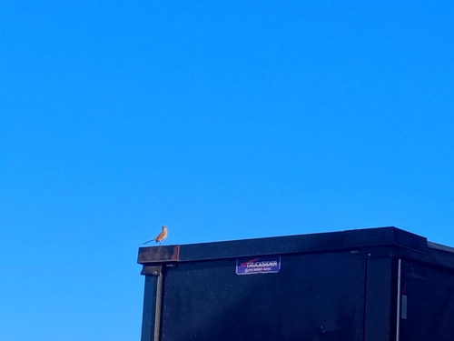
Research-grade observations from iNaturalist (within ~15 mi).
Events
Gallery
Official Identifiers
IBGE — Brazilian Institute of Geography and Statistics
- IBGE code
- 3519055
- UF
- SP
- Mesorregião
- Campinas
- Microrregião
- Campinas
servicodados.ibge.gov.br
Sources
- • Wikipedia
- • Wikidata
- • iNaturalist
- • Open-Elevation
- • Open-Meteo / sunrise-sunset.org
- • Wikipedia Pageviews API
- • Open Library
- • IBGE — Brazilian national statistics, via servicodados.ibge.gov.br (official municipal code, UF, mesorregião, microrregião, region)
- • IBGE — Brazilian Institute of Geography and Statistics — servicodados.ibge.gov.br