Browse / Brazil / Alagoas / Igaci
Igaci
Alagoastown

Igaci
Total population
24,594
Demographic figures from IBGE. Overview below cites Wikipedia and may reference a different year.
City facts
Facts from Wikidata (CC0).
Overview
Igaci is a municipality in the Brazilian state of Alagoas. It has an area of 334.346 square kilometres . The climate is tropical savanna climate. As of 2020 the estimated population was 25,613.
Read more on WikipediaHistory & geography
History
The settlement that is now the municipality of Igaci was founded by João de Lima Acioli of Portugal in the mid-19th century. The original name was Olho D'Água do Acioli, or Acioli's Waterholes, due to the many pools in the region. The abundant water attracted many families from areas that suffered from droughts, particularly in 1877, when there was a severe drought in Alagoas. The first urban settlement of the municipality was founded soon after. Early settlers in the town were Serapião Sampaio, Santos Silva, captain Bartolomeu de Souza Vergueiro, Justino Luiz, the Torres and Tomas de Albuquerque families and Carlos Pontes who later became an important figure in Brazilian literature and national politics. Olho D'Água do Acioli was named a town and judicial district of Palmeira dos Índios by State law No. 428 of 15 June 1904. The town became more important when the Grewestern railway reached it, now operated by the Rede Ferroviária Federal do Nordeste. At this time its name was changed to Igaci, the indigenous word for waterhole. Many cotton gins began operation to process the local harvest, although as of 2017 only one remained. Law No. 2087 of 27 December 1857 established Igaci as a separate municipality from Palmeira dos Índios effective 12 January 1959. It has a single district, Igaci.
Geography
Igaci is in the state of Alagoas, Brazil. It has an area of as of 2020. The elevation above sea level is about . It is located in the Palmeira dos Índios micro-region. It is 161 km from Maceió. The Köppen climate type is As : Tropical savanna climate. The climate is hot and humid. Winter normally lasts from May to August. The average annual temperature is . The warmest month is December, when the average temperature is , and the coldest is July, with . The average annual rainfall is . The wettest month is July, with of precipitation on average, and the driest is January, with of precipitation.
Excerpted from the corresponding Wikipedia article (CC BY-SA).
Geography
Coordinates & boundaries from the US Census TIGER/Line shapefiles.
Climate
Air quality
Walkability
Amenities nearby
Wildlife & biodiversity
Earthquake history
Photos
Sights & places nearby
Notable people from here
Nearby places in Alagoas
- Caraibinha5.3 mi away
- Novo Rio6.8 mi away
- Lagoa do Rancho8 mi away
- Sa. da Manduca11.4 mi away
- Tanque d'Arca13.7 mi away · pop. 5,796
- Rua Nova13.7 mi away
- Caldeirões de Cima14.8 mi away
- Serrote dos Dias15.2 mi away
- Folha Miúda16 mi away
- Paulo Jacinto21.5 mi away · pop. 6,576
- Minador do Lúcio22.2 mi away
- Maribondo22.4 mi away · pop. 13,679
Geography & sun
Elevation, sunrise/sunset and daylight from Open-Meteo. Solar climatology from NASA POWER.
Nearby airports
Public attention
Pageview totals from the Wikimedia Pageviews API.
Books about Igaci
Search results from Open Library.
Recent natural events nearby
Ground air-quality sensors
Recently spotted species
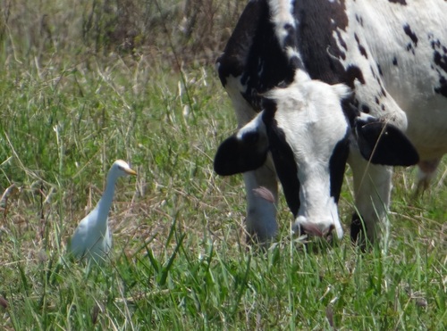
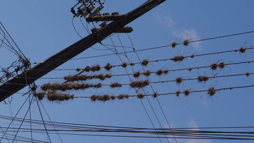
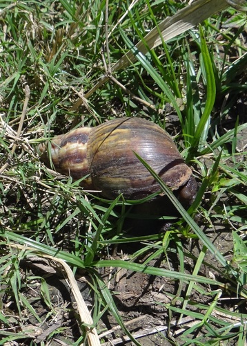
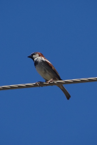
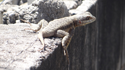
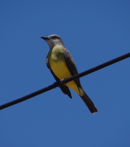
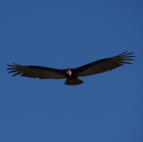
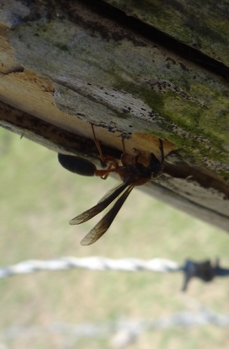
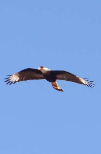
Research-grade observations from iNaturalist (within ~15 mi).
Events
Gallery
Official Identifiers
IBGE — Brazilian Institute of Geography and Statistics
- IBGE code
- 2703106
- UF
- AL
- Mesorregião
- Agreste Alagoano
- Microrregião
- Palmeira dos Índios
servicodados.ibge.gov.br
Sources
- • Wikipedia
- • Wikidata
- • iNaturalist
- • Open-Meteo / sunrise-sunset.org
- • Wikipedia Pageviews API
- • Open Library
- • IBGE — Brazilian national statistics, via servicodados.ibge.gov.br (official municipal code, UF, mesorregião, microrregião, region)
- • IBGE — Brazilian Institute of Geography and Statistics — servicodados.ibge.gov.br