Browse / Brazil / São Paulo / Ilhabela
Ilhabela
São Paulotown

Ilhabela
Total population
34,934
Founded
1805
Demographic figures from IBGE. Overview below cites Wikipedia and may reference a different year.
City facts
Facts from Wikidata (CC0).
Overview
Ilhabela is an archipelago and city situated in the Atlantic Ocean six kilometres off the coast of São Paulo state in Brazil. The city is 205 km (127 mi) from the city of São Paulo and 340 km (210 mi) from the city of Rio de Janeiro. The largest island, although commonly called Ilhabela, is officially named Ilha de São Sebastião. It, the other islands and the islets make up the municipality of Ilhabela.
Read more on WikipediaHistory & geography
History
For at least 2,000 years before the arrival of the Portuguese, the archipelago had been inhabited by sambaqui indigenous peoples, and by ceramist peoples for at least 700 years. These early inhabitants were fishermen and collectors who lived in open-air camps near beaches and bays. Their collections of shells, shellfish and ceramics are the only traces of their existence available for researchers to study them. They deduce these peoples would not consume much of the forests of the islands, probably picking no more than fruits and ingredients for remedies. Before the Portuguese arrived, these tribes were replaced by tupi-guarani and jês peoples, who had mastered ceramic and agricultural techniques and left the only traces of an indigenous village, at the so-called "Vianna site" on the main island (São Sebastião Island). These tribes would take shelter under rocks during hunting and exploration expeditions. The first documented non-indigenous visit to the island was an expedition involving Italian cosmographer Amerigo Vespucci that arrived there on 20 January 1502. As with several other geographical features discovered by the Portuguese, the island was named after the saint of the day (Saint Sebastian). Around that time, the island would provide shelter for pirates and corsairs coming mainly from England, France and the Netherlands. They would explore the island for firewood, food and water. They carried out a number of attacks against Portuguese ships and settlements (namely Santos, São Vicente and Bertioga), which cost Portugal several quantities of gold and other precious stones until the 17th century. Such events gave birth to legends of hidden treasures scattered around the city's territory. Between 1588 and 1590 Edward Fenton who had sought shelter in the…
Geography
The main islands of the archipelago are São Sebastião (33737 ha), Búzios (739 ha), Vitória (219 ha) dos Pescadores (20 ha) - all of which inhabited. There are also the very small islets (das Cabras, da Sumítica, da Serraria, dos Castelhanos, da Lagoa, da Figueira and das Enchovas islands). Almost all the urbanized areas are in the very narrow plains between the sea and the mountains of the main island, preferably at the west part, facing the continent. A short (30 km) but high mountain range forms this main island, reaching above 1,000 meters in seven different points - Pico de São Sebastião (1,378 m), Morro do Papagaio (1,302 m), Pico da Serraria (1,285 m), Morro do Ramalho (1,205 m), Morro do Simão (1,102 m), Morro das Tocas (1,079 m) and Pico do Baepi (1,048 m). Running approximately 8 km into the Atlantic Ocean off the southeast corner of the island, there is the Península do Boi (Ox Peninsula). The east side of the island is inhabited by very few people, who concentrates mainly on the Castelhanos beach, the only on this side accessible by road. Only 4x4 jeeps are able to cross this particular road, though. Vitória, dos Pescadores and Búzios islands are 38, 37 and 24 km off the continent, respectively. Buzios and Vitória islands, 7½ and 2½ km away from the northeastern tip of the main island, respectively, are home to 142 and 50 caiçaras, respectively. Only canoes are able to go to the island, since the piers available are in poor condition. Both islands have traces of indigenous cemeteries. The locals will plant and grow their own food, though the number of fish is decreasing, but Búzios Island has two markets. There's no drinking water and people normally urinate and defecate on the vegetation. The islands possess no medical structures and…
Excerpted from the corresponding Wikipedia article (CC BY-SA).
Geography
Coordinates & boundaries from the US Census TIGER/Line shapefiles.
Climate
Air quality
Walkability
Amenities nearby
Wildlife & biodiversity
Most-observed species
- humpback whaleMegaptera novaeangliae (Borowski, 1781) · Mammalia1,528
- Great KiskadeePitangus sulphuratus (Linnaeus, 1766) · Aves1,200
- BananaquitCoereba flaveola (Linnaeus, 1758) · Aves1,051
- Mealy ParrotAmazona farinosa (Boddaert, 1783) · Aves1,025
- Black VultureCoragyps atratus (Bechstein, 1793) · Aves1,006
- Magnificent FrigatebirdFregata magnificens Mathews, 1914 · Aves891
- Ruddy Ground-DoveColumbina talpacoti (Temminck, 1810) · Aves856
- Rufous-bellied ThrushTurdus rufiventris Vieillot, 1818 · Aves811
Citizen-science & research observations from the Global Biodiversity Information Facility (GBIF).
Earthquake history
Events from the USGS Earthquake Catalog (global) (FDSN Event Web Service).
Photos
Sights & places nearby
Notable people from here
Nearby places in São Paulo
- Bararaca21.3 mi away
- Bairro do Cedro23.5 mi away
- Pouso Altinho23.6 mi away
- Briét33.4 mi away
- Biritiba-Ussu48.9 mi away
- Jardim Mariana II49.9 mi away
- Caçapava Velha51.5 mi away
- São Silvestre de Jacareí51.5 mi away
- Freguesia da Escada52.9 mi away
- Quatinga Velho55.8 mi away
- Sítio Quilombo56.5 mi away
- Vila Zilda56.8 mi away
Geography & sun
Elevation, sunrise/sunset and daylight from Open-Meteo. Solar climatology from NASA POWER.
Nearby airports
Public attention
Pageview totals from the Wikimedia Pageviews API.
Books about Ilhabela

Search results from Open Library.
Recent natural events nearby
Ground air-quality sensors
Recently spotted species
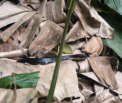
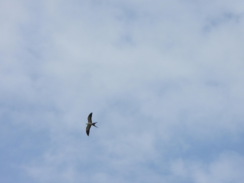
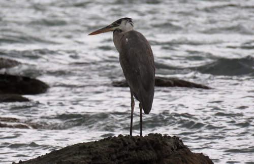
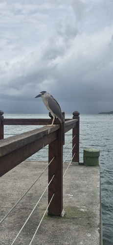
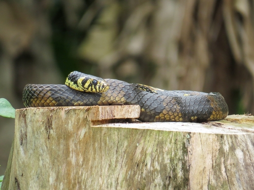
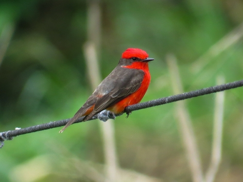
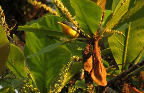
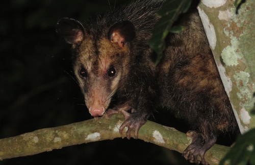
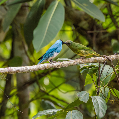
Research-grade observations from iNaturalist (within ~15 mi).
Events
Gallery
Official Identifiers
IBGE — Brazilian Institute of Geography and Statistics
- IBGE code
- 3520400
- Population (Wikidata)
- 34,934
- Wikidata
- Q945061
servicodados.ibge.gov.br
Sources
- • Wikipedia
- • Wikidata
- • USGS Earthquake Catalog (global feed)
- • GBIF (Global Biodiversity Information Facility)
- • iNaturalist
- • Open-Meteo / sunrise-sunset.org
- • Wikipedia Pageviews API
- • Open Library
- • IBGE — Brazilian national statistics, via servicodados.ibge.gov.br (official municipal code, UF, mesorregião, microrregião, region)
- • IBGE — Brazilian Institute of Geography and Statistics — servicodados.ibge.gov.br