Browse / Brazil / Minas Gerais / Ipatinga
Ipatinga
Minas Geraiscity

Ipatinga
Total population
227,731
Founded
1964
Demographic figures from IBGE. Overview below cites Wikipedia and may reference a different year.
City facts
Sister cities
Facts from Wikidata (CC0).
Overview
Ipatinga is a Brazilian municipality located in the interior of the state of Minas Gerais, in the Southeast Region of Brazil. Situated in the Vale do Rio Doce, it is part of the Vale do Aço Metropolitan Region, approximately 210 km east of the state capital. The municipality covers an area of just over 160 km², with about 40 km² in urban area, and its population was estimated at 235,311 inhabitants in 2025, making it the eleventh most populous municipality in Minas Gerais. The municipal seat is located near the confluence of the Piracicaba River and the Doce River.
Read more on WikipediaHistory & geography
History
Exploration of the region, initially known as the Sertões do Rio Doce, began in the late 16th century with expeditions seeking precious metals. However, exploration was banned in the early 17th century to prevent gold smuggling from the nearby Diamantina region. Settlement was permitted in 1755, and during the 19th century, under Emperor Pedro I of Brazil, the bandeirantes visited the area, noting the presence of indigenous peoples. Ipaneminha, Taúbas, and Bom Jardim, resulting from land appropriations or, in the case of Ipaneminha, as stopping points along a road used by tropeiros traveling to Ouro Preto and Diamantina. At this location, the first pharmacy in the current Vale do Aço Metropolitan Region was established by pharmacist (and future politician) Raimundo Alves de Carvalho. The Pedra Mole Station was deactivated a few years after its opening due to a change in the EFVM's route, and a new terminal was built in the current Center of Ipatinga. In 1924, the Calado Station was established in Coronel Fabriciano, where the Belgo-Mineira Steel Company set up operations in the 1930s. Large areas were acquired to centralize the company's timber extraction in the region to fuel its furnaces in João Monlevade. However, only Coronel Fabriciano experienced significant population and urban growth between the 1930s and 1940s, intensified by the establishment of Acesita in 1944, leading to its emancipation from Antônio Dias in 1948. The presence of charcoal kilns operated by Belgo-Mineira and Acesita boosted local commercial activity, further supported by the construction of the Salto Grande Hydroelectric Plant in Braúnas. Machinery for this project was unloaded in the settlement, stored, and gradually transported to the dam. Nevertheless, the Ipatinga district received…
Geography
The municipality's area is km², representing 0.0282% of Minas Gerais' territory, 0.0179% of the Southeast Region, and 0.0019% of Brazil's total territory. Of this total, km² are urban. the municipality belongs to the Intermediate and Immediate Geographic Regions of Ipatinga. Previously, under the division into microregions and mesoregions, it was part of the Ipatinga microregion, included in the Vale do Rio Doce mesoregion. Ipatinga is situated in the interplateau depression of the Vale do Rio Doce, with its topography shaped by fluvial erosion acting on granite-gneiss rocks from the Precambrian period. The geological complex includes gneissic, magmatic, and metamorphic rocks, such as biotite-gneiss, granitic rocks, and granite-gneiss. The terrain is diverse, with 55% of Ipatinga's territory being flat, 30% undulating, and the remaining 15% rugged. The highest elevations are found in the northwest, in the Serra dos Cocais range, reaching up to meters. Conversely, the lowest altitudes are along the riverbanks, with the minimum elevation of 235 meters at the mouth of the Piracicaba River in the Doce River. The Piracicaba River's location and the flat terrain nearby facilitated the establishment of the Vitória-Minas Railway and Usiminas, and later the urban perimeter of Ipatinga, which was forced to expand toward higher elevations. Consequently, significant occupation, particularly by lower-income communities, has occurred in areas with steep slopes. The main sub-basin within the municipal territory is that of the Ipanema Stream, covering about km², with its main course traversing the city before reaching its mouth in the Doce River after a km journey. Other urban watercourses include the Bom Jardim, Forquilha, Madalena, Novo, Pedra Branca, Taúbas, and Vaga-lume…
Excerpted from the corresponding Wikipedia article (CC BY-SA).
Geography
Coordinates & boundaries from the US Census TIGER/Line shapefiles.
Climate
Air quality
Walkability
Amenities nearby
Wildlife & biodiversity
Earthquake history
Photos
Sights & places nearby
Notable people from here


People born within ~10 km, from Wikidata (CC0). Click any name for their Wikipedia article.
Geography & sun
Elevation, sunrise/sunset and daylight from Open-Meteo. Solar climatology from NASA POWER.
Nearby airports
Public attention
Pageview totals from the Wikimedia Pageviews API.
Books about Ipatinga
Search results from Open Library.
Recent natural events nearby
Ground air-quality sensors
Recently spotted species
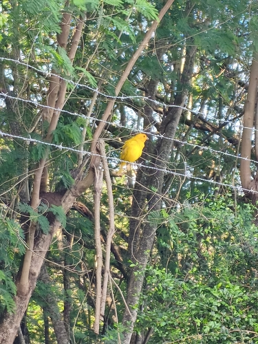
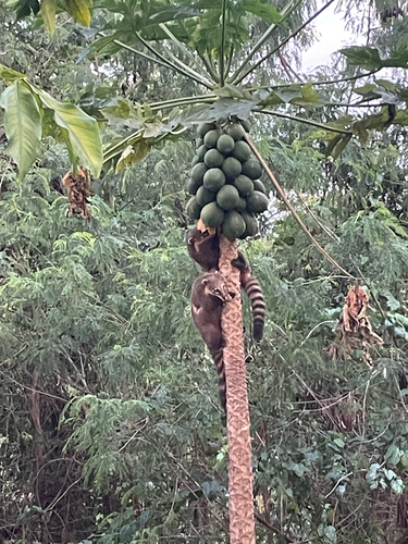
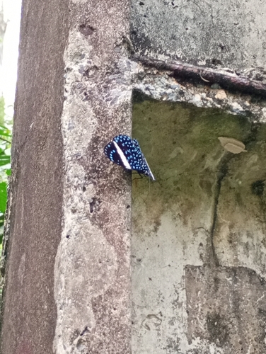
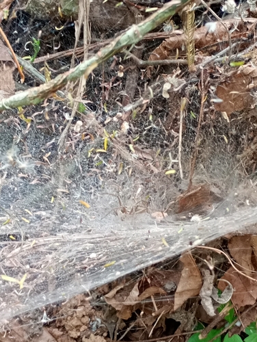
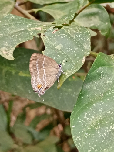
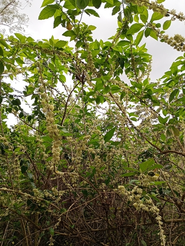

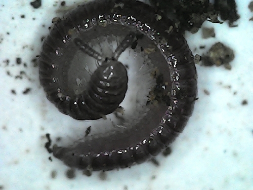
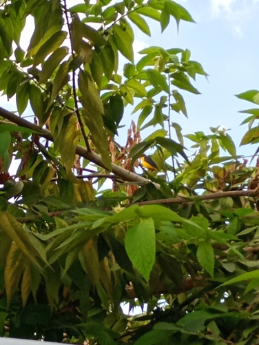
Research-grade observations from iNaturalist (within ~15 mi).
Events
Gallery
Official Identifiers
IBGE — Brazilian Institute of Geography and Statistics
- IBGE code
- 3131307
- UF
- MG
- Mesorregião
- Vale do Rio Doce
- Microrregião
- Ipatinga
servicodados.ibge.gov.br
Sources
- • Wikipedia
- • Wikidata
- • iNaturalist
- • Open-Meteo / sunrise-sunset.org
- • Wikipedia Pageviews API
- • Open Library
- • Wikidata SPARQL (CC0) — population, area, elevation, inception, head of government, Commons image
- • IBGE — Brazilian national statistics, via servicodados.ibge.gov.br (official municipal code, UF, mesorregião, microrregião, region)
- • IBGE — Brazilian Institute of Geography and Statistics — servicodados.ibge.gov.br