Browse / Brazil / São Paulo / Itaí
Itaí
São Paulotown

Itaí
Total population
25,180
Air quality index
Demographic figures from IBGE. Overview below cites Wikipedia and may reference a different year.
City facts
Overview
Itaí is a municipality in the state of São Paulo in Brazil. The population is 27,382 in an area of 1,083 km2 (418 sq mi). The elevation is 614 m. This place name comes from the Tupi language, "Itaí" means river stone. The Tropic of Capricorn crosses the city of Itaí.
Read more on WikipediaHistory & geography
History
Farmers close to the mouth of the Taquari River have difficulties in supplying and marketing their products given the distance from the nearest village, which was Faxina (now Itapeva). Thus, in 1869, Salvador de Freitas, José Silveira Melo, Manoel Pedroso de Oliveira and Captain José Floriano, founded on the slope of Serrinha, close to the Carrapatos river, a village with the name of Santo Antônio da Ponta da Serra, a name chosen in tribute to the patron saint and to define the position occupied by the nucleus. The forty acres of the patrimony were acquired from Bernardino Leite by Salvador de Freitas and José Silveira Melo, Manoel Pedroso and captain José Floriano were responsible for the construction of the first building measuring approximately 80 square meters. In these forty acres a chapel and the first houses in the village were installed. The village of Santo Antônio, founded by farmers, grew and organized itself around this chapel, which can be considered as the ground zero of the city of Itaí. At the time these buildings were built, a unique structure that existed there was a wooden and clay house, inhabited by Miguel Correa Melo and located at the northern end of today's Rua Salvador de Freitas. As early as 1870, the initial plan of the village was drawn up and the square and streets were demarcated and places. In 1872, the locality already had around fifty habitable houses, showing a high rate of development compared to other villages existing in the region until that time. This small initial development favored the transformation of the village into a parish on April 16, 1874. From that day on, the new parish was renamed "Santo Antônio da Boa Vista", belonging to the municipality of Itapetininga. On May 1, 1891, the parish was elevated to the category…
Excerpted from the corresponding Wikipedia article (CC BY-SA).
Geography
Coordinates & boundaries from the US Census TIGER/Line shapefiles.
Climate
Air quality
Current readings from Open-Meteo Air Quality API (Copernicus CAMS European reanalysis).
Walkability
Amenities nearby
Wildlife & biodiversity
Most-observed species
- Great KiskadeePitangus sulphuratus (Linnaeus, 1766) · Aves83
- blue-and-white swallowNotiochelidon cyanoleuca (Vieillot, 1817) · Aves69
- Eared DoveZenaida auriculata (Des Murs, 1847) · Aves69
- House SparrowPasser domesticus (Linnaeus, 1758) · Aves69
- Picazuro PigeonPatagioenas picazuro (Temminck, 1813) · Aves67
- Saffron FinchSicalis flaveola (Linnaeus, 1766) · Aves65
- Yellow-chevroned ParakeetBrotogeris chiriri (Vieillot, 1818) · Aves64
- Southern LapwingVanellus chilensis (Molina, 1782) · Aves59
Citizen-science & research observations from the Global Biodiversity Information Facility (GBIF).
Earthquake history
Events from the USGS Earthquake Catalog (global) (FDSN Event Web Service).
Photos
Sights & places nearby
Notable people from here


People born within ~10 km, from Wikidata (CC0). Click any name for their Wikipedia article.
Nearby places in São Paulo
- Santa Terezinha7 mi away
- Bairro do Barreiro12.6 mi away
- Campos de Holambra13.8 mi away
- Takaoka17.3 mi away
- Arandu19.7 mi away · pop. 6,885
- Amarela Velha20 mi away
- Piraju24.1 mi away · pop. 29,436
- Barra Grande25.7 mi away
- Turiba do Sul26.4 mi away
- São Berto27.7 mi away
- Itaporanga32.1 mi away · pop. 14,085
- Barão de Antonina33.2 mi away · pop. 3,531
Geography & sun
Elevation, sunrise/sunset and daylight from Open-Meteo. Solar climatology from NASA POWER.
Nearby airports
Public attention
Pageview totals from the Wikimedia Pageviews API.
Books about Itaí


Search results from Open Library.
Recent natural events nearby
Ground air-quality sensors
Recently spotted species
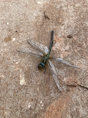
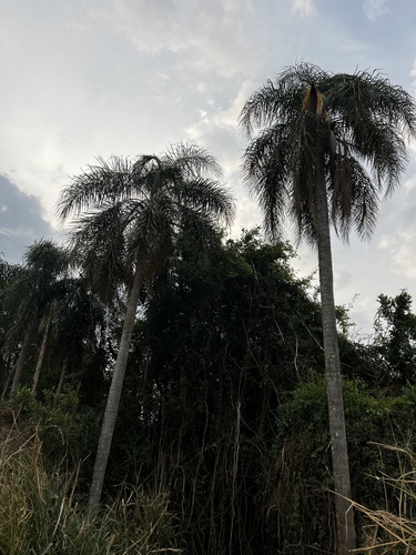
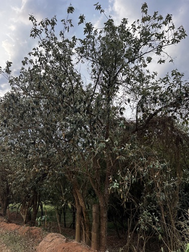
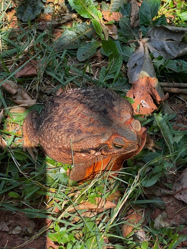
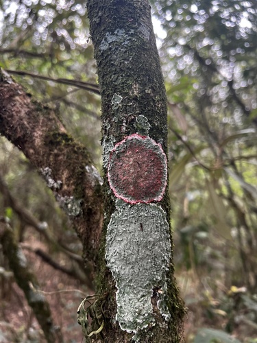
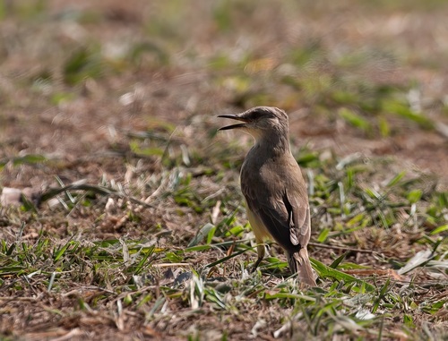
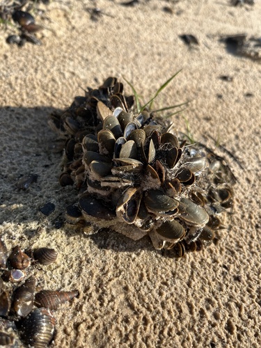
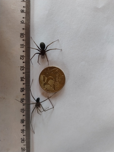
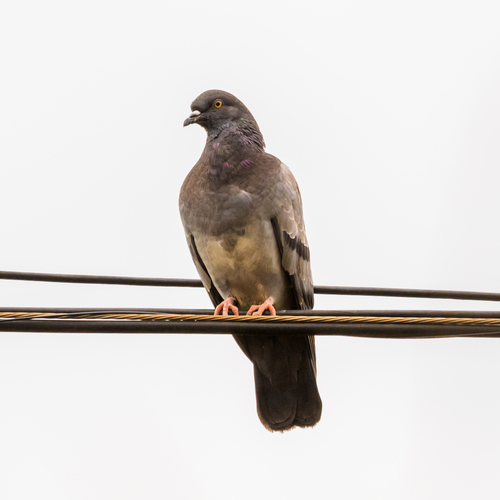
Research-grade observations from iNaturalist (within ~15 mi).
Events
Gallery
Official Identifiers
IBGE — Brazilian Institute of Geography and Statistics
- IBGE code
- 3521804
- UF
- SP
- Mesorregião
- Bauru
- Microrregião
- Avaré
servicodados.ibge.gov.br
Sources
- • Wikipedia
- • Wikidata
- • Open-Meteo Air Quality (CAMS)
- • USGS Earthquake Catalog (global feed)
- • GBIF (Global Biodiversity Information Facility)
- • iNaturalist
- • Open-Meteo / sunrise-sunset.org
- • Wikipedia Pageviews API
- • Open Library
- • IBGE — Brazilian national statistics, via servicodados.ibge.gov.br (official municipal code, UF, mesorregião, microrregião, region)
- • IBGE — Brazilian Institute of Geography and Statistics — servicodados.ibge.gov.br