Browse / Brazil / São Paulo / Itanhaém
Itanhaém
São Paulocity
Total population
112,476
Demographic figures from IBGE. Overview below cites Wikipedia and may reference a different year.
City facts
Overview
Set in São Paulo, Brazil, Itanhaém is recorded in open geodata as a sizeable town. Itanhaém maps to -24.183°, -46.790° — squarely within the subtropical belt. Public datasets list a population of roughly 112,476. Such a low elevation typically indicates a coastal, deltaic, or alluvial setting. Spanning a sizeable 599.017 km², Itanhaém lies essentially at sea level (5 m). Documented history points to a founding date near 1532. Its latitude implies a climate characterised by humid, oceanic-influenced conditions moderated by proximity to sea level. Resident density is around 188 per km², indicating a sparse settlement pattern. Open solar datasets indicate about 1,646 kWh/m² of solar irradiance per year, combined with sunshine for roughly 64% of daylight hours. Further detail — demographics, climate, nearby amenities and natural-hazard data — is compiled below from public open-data sources.
Summary composed automatically from structured open data on this page. See our Terms for details.
History & geography
Geography
Coordinates & boundaries from the US Census TIGER/Line shapefiles.
Climate
Air quality
Walkability
Amenities nearby
Wildlife & biodiversity
Most-observed species
- Great KiskadeePitangus sulphuratus (Linnaeus, 1766) · Aves1,918
- Southern LapwingVanellus chilensis (Molina, 1782) · Aves1,673
- Black VultureCoragyps atratus (Bechstein, 1793) · Aves1,622
- Ruddy Ground-DoveColumbina talpacoti (Temminck, 1810) · Aves1,434
- BananaquitCoereba flaveola (Linnaeus, 1758) · Aves1,397
- Palm TanagerThraupis palmarum (Wied-Neuwied, 1821) · Aves1,376
- Brazilian TanagerRamphocelus bresilia (Linnaeus, 1766) · Aves1,340
- Rufous-bellied ThrushTurdus rufiventris Vieillot, 1818 · Aves1,308
Citizen-science & research observations from the Global Biodiversity Information Facility (GBIF).
Earthquake history
Events from the USGS Earthquake Catalog (global) (FDSN Event Web Service).
Photos
Sights & places nearby
Notable people from here


People born within ~10 km, from Wikidata (CC0). Click any name for their Wikipedia article.
Nearby places in São Paulo
- Peruíbe16.2 mi away · pop. 68,352
- Cipó-Guaçu21.1 mi away
- Paiol do Meio23.8 mi away
- Embu-Guaçu24.3 mi away · pop. 66,970
- Juquitiba24.8 mi away · pop. 27,404
- São Lourenço da Serra24.8 mi away · pop. 16,067
- Barnabés26.3 mi away
- Pedro de Toledo28.7 mi away · pop. 11,281
- São Vicente29.5 mi away · pop. 329,911
- Juquiá Grande30.5 mi away
- Vila da Fumaça32.5 mi away
- Vicente de Carvalho35.5 mi away
Geography & sun
Elevation, sunrise/sunset and daylight from Open-Meteo. Solar climatology from NASA POWER.
Nearby airports
Public attention
Pageview totals from the Wikimedia Pageviews API.
Books about Itanhaém
Search results from Open Library.
Recent natural events nearby
Ground air-quality sensors
Recently spotted species
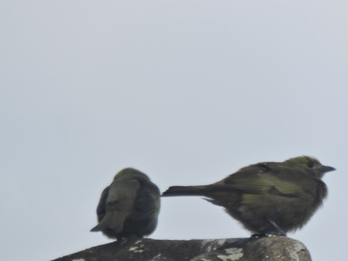
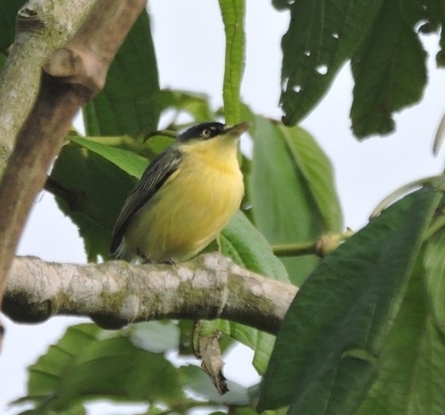
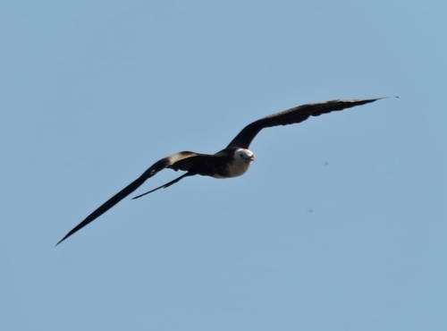
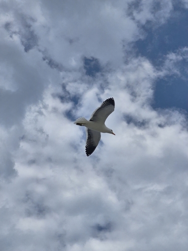
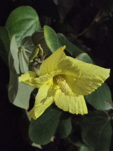
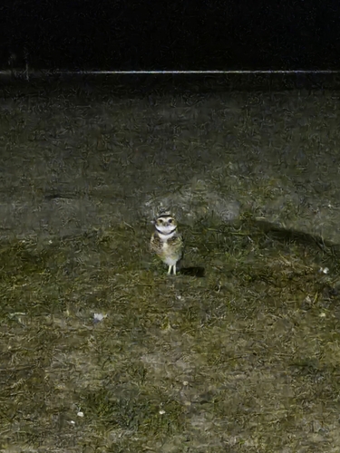
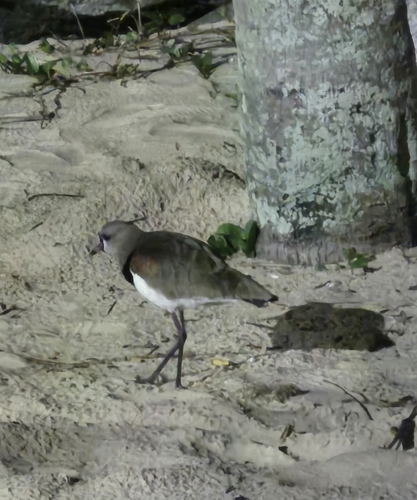
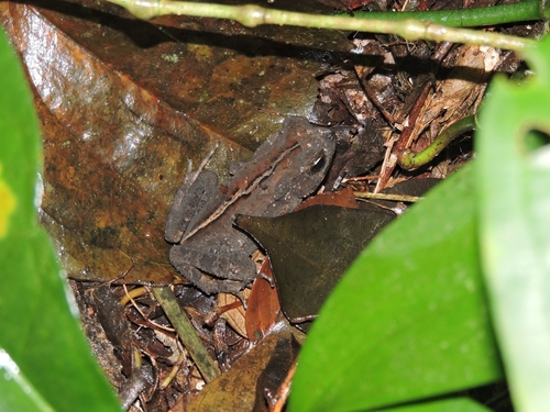
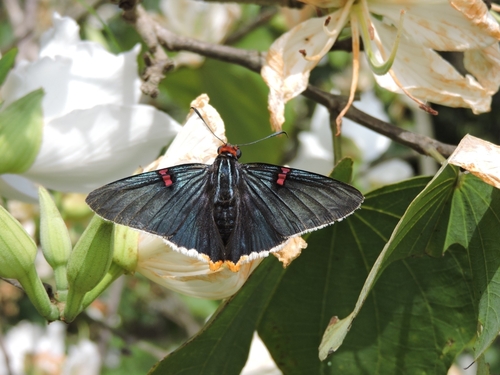
Research-grade observations from iNaturalist (within ~15 mi).
Events
Gallery
Official Identifiers
IBGE — Brazilian Institute of Geography and Statistics
- IBGE code
- 3522109
- UF
- SP
- Mesorregião
- Litoral Sul Paulista
- Microrregião
- Itanhaém
servicodados.ibge.gov.br
Sources
- • Wikidata
- • USGS Earthquake Catalog (global feed)
- • GBIF (Global Biodiversity Information Facility)
- • iNaturalist
- • Open-Meteo / sunrise-sunset.org
- • Wikipedia Pageviews API
- • Open Library
- • Wikidata SPARQL (CC0) — population, area, elevation, inception, head of government, Commons image
- • IBGE — Brazilian national statistics, via servicodados.ibge.gov.br (official municipal code, UF, mesorregião, microrregião, region)
- • IBGE — Brazilian Institute of Geography and Statistics — servicodados.ibge.gov.br