Browse / Brazil / Goiás / Itapaci
Itapaci
Goiástown

Itapaci
Total population
21,087
Air quality index
Demographic figures from IBGE. Overview below cites Wikipedia and may reference a different year.
City facts
Facts from Wikidata (CC0).
Overview
Itapaci is a municipality in northern Goiás state, Brazil. The population was 18,458 in 2010 (IBGE). The total area of the municipality was 956.1 km2 (10/10/2002).
Read more on WikipediaHistory & geography
History
The settlement began in the 1920s on the lands of the Água Fria and Barra cattle ranches. Land was donated by a rancher called Domiciano Rodrigues Peixoto and a cross was erected in 1935. The first name was Água Fria, later changed to Floresta. In 1938 it became a district with the name Itapaci, which means "Beautiful Rock". In 1945 it was raised to municipal status.
Geography
Itapaci is located on the São Patrício Pequeno River in the Ceres Microregion. The distance to the state capital, Goiânia, is 230 kilometers. Highway connections are made by GO-080 / Nerópolis / São Francisco de Goiás / BR-153 / Jaraguá / Rialma / GO-336. See [https://web.archive.org/web/20090205080546/http://www.seplan.go.gov.br/sepin/pub/anuario/2005/transporte/tab01_transporte.htm Seplan] for the complete list. Neighboring municipalities are: Crixás, Guarinos, Hidrolina, Ipiranga de Goiás, Nova América, Nova Glória, Pilar de Goiás, Rubiataba and São Luíz do Norte. *The climate is tropical humid with high maximum temperatures that can reach 37 °C. The natural resources of the town are its mineral wealth. There are deposits of mica, crystal, asbestos, and gold. In the forests there are stands of hardwood. *District: Aparecida de Goiás. *Village: Ponte Nova. *Hamlets: Santo Agostinho, São José do Caiamar, Vila Santana and Vila Trindade.
Excerpted from the corresponding Wikipedia article (CC BY-SA).
Geography
Coordinates & boundaries from the US Census TIGER/Line shapefiles.
Climate
Air quality
Current readings from Open-Meteo Air Quality API (Copernicus CAMS European reanalysis).
Walkability
Amenities nearby
Wildlife & biodiversity
Most-observed species
- Black-fronted NunbirdMonasa nigrifrons (von Spix, 1824) · Aves4
- Small-billed TinamouCrypturellus parvirostris (Wagler, 1827) · Aves4
- Undulated TinamouCrypturellus undulatus (Temminck, 1815) · Aves4
- Rufous CasiornisCasiornis rufus (Vieillot, 1816) · Aves4
- Purple-throated EuphoniaEuphonia chlorotica (Linnaeus, 1766) · Aves4
- Black-capped AntwrenHerpsilochmus atricapillus Pelzeln, 1868 · Aves4
- Squirrel CuckooPiaya cayana (Linnaeus, 1766) · Aves4
- Southern LapwingVanellus chilensis (Molina, 1782) · Aves4
Citizen-science & research observations from the Global Biodiversity Information Facility (GBIF).
Earthquake history
Events from the USGS Earthquake Catalog (global) (FDSN Event Web Service).
Photos
Sights & places nearby
Notable people from here
Nearby places in Goiás
Geography & sun
Elevation, sunrise/sunset and daylight from Open-Meteo. Solar climatology from NASA POWER.
Nearby airports
Public attention
Pageview totals from the Wikimedia Pageviews API.
Books about this place
Recent natural events nearby
Ground air-quality sensors
Recently spotted species
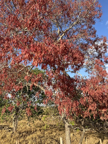
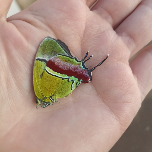
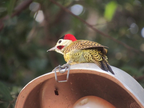

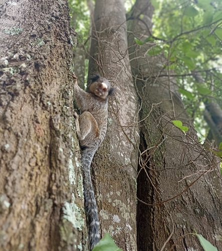
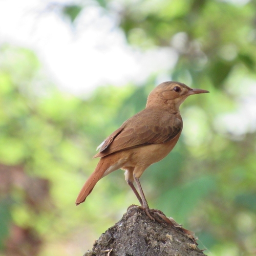
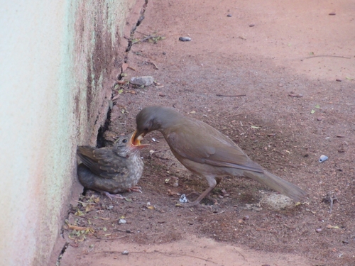


Research-grade observations from iNaturalist (within ~15 mi).
Events
Gallery
Official Identifiers
IBGE — Brazilian Institute of Geography and Statistics
- IBGE code
- 5210901
- UF
- GO
- Mesorregião
- Centro Goiano
- Microrregião
- Ceres
servicodados.ibge.gov.br
Sources
- • Wikipedia
- • Wikidata
- • Open-Meteo Air Quality (CAMS)
- • USGS Earthquake Catalog (global feed)
- • GBIF (Global Biodiversity Information Facility)
- • iNaturalist
- • Open-Meteo / sunrise-sunset.org
- • Wikipedia Pageviews API
- • IBGE — Brazilian national statistics, via servicodados.ibge.gov.br (official municipal code, UF, mesorregião, microrregião, region)
- • IBGE — Brazilian Institute of Geography and Statistics — servicodados.ibge.gov.br