Browse / Brazil / São Paulo / Itariri
Itariri
São Paulotown

Itariri
Total population
15,528
Demographic figures from IBGE. Overview below cites Wikipedia and may reference a different year.
City facts
Facts from Wikidata (CC0).
Overview
Itariri is a municipality in the state of São Paulo in Brazil. The population is 17,598 in an area of 273.67 km2 (105.66 sq mi). The elevation is 55 m. Itariri is situated on the BR-101 highway, 18 km west of the coastal city Peruíbe.
Read more on WikipediaHistory & geography
History
The municipality was created by state law in 1948.
Geography
The municipality contains a small part of the Juréia-Itatins Ecological Station, a strictly protected area of well-preserved Atlantic Forest created in 1986.
Excerpted from the corresponding Wikipedia article (CC BY-SA).
Geography
Coordinates & boundaries from the US Census TIGER/Line shapefiles.
Climate
Air quality
Walkability
Amenities nearby
Wildlife & biodiversity
Earthquake history
Photos
Sights & places nearby
Notable people from here

People born within ~10 km, from Wikidata (CC0). Click any name for their Wikipedia article.
Geography & sun
Elevation, sunrise/sunset and daylight from Open-Meteo. Solar climatology from NASA POWER.
Nearby airports
Public attention
Pageview totals from the Wikimedia Pageviews API.
Books about Itariri
Search results from Open Library.
Recent natural events nearby
Ground air-quality sensors
Recently spotted species
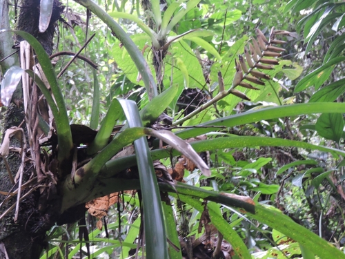

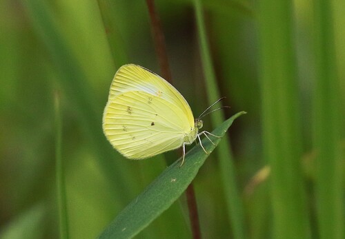

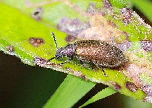
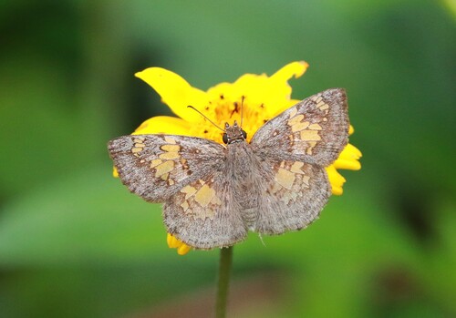
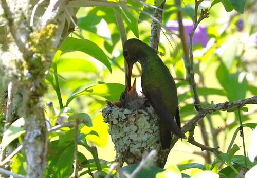

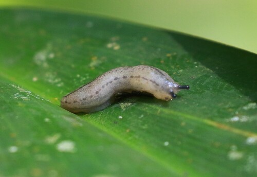
Research-grade observations from iNaturalist (within ~15 mi).
Events
Gallery
Official Identifiers
IBGE — Brazilian Institute of Geography and Statistics
- IBGE code
- 3523305
- UF
- SP
- Mesorregião
- Litoral Sul Paulista
- Microrregião
- Itanhaém
servicodados.ibge.gov.br
Sources
- • Wikipedia
- • Wikidata
- • iNaturalist
- • Open-Meteo / sunrise-sunset.org
- • Wikipedia Pageviews API
- • Open Library
- • IBGE — Brazilian national statistics, via servicodados.ibge.gov.br (official municipal code, UF, mesorregião, microrregião, region)
- • IBGE — Brazilian Institute of Geography and Statistics — servicodados.ibge.gov.br