Browse / Brazil / São Paulo / Itatinga
Itatinga
São Paulohamlet
Demographic figures from IBGE. Overview below cites Wikipedia and may reference a different year.
City facts
Overview
Set in São Paulo, Brazil, Itatinga is recorded in open geodata as a hamlet. The settlement sits at -23.777°, -46.112°, a subtropical location in the southern hemisphere. No reliable population estimate is published for this entry in the open data we rely on. Climatically, locations at this latitude tend to experience hot summers and mild winters typical of the subtropics. The location receives about 1,653 kWh/m² of solar irradiance per year and sunshine for roughly 65% of daylight hours. Further detail — demographics, climate, nearby amenities and natural-hazard data — is compiled below from public open-data sources.
Summary composed automatically from structured open data on this page. See our Terms for details.
History & geography
Geography
Coordinates & boundaries from the US Census TIGER/Line shapefiles.
Climate
Air quality
Walkability
Amenities nearby
Wildlife & biodiversity
Most-observed species
- Great KiskadeePitangus sulphuratus (Linnaeus, 1766) · Aves4,052
- BananaquitCoereba flaveola (Linnaeus, 1758) · Aves3,343
- Southern LapwingVanellus chilensis (Molina, 1782) · Aves3,286
- Black VultureCoragyps atratus (Bechstein, 1793) · Aves2,980
- Sayaca TanagerThraupis sayaca (Linnaeus, 1766) · Aves2,855
- blue-and-white swallowNotiochelidon cyanoleuca (Vieillot, 1817) · Aves2,843
- Southern House WrenTroglodytes musculus J.F.Naumann, 1823 · Aves2,818
- Rufous-bellied ThrushTurdus rufiventris Vieillot, 1818 · Aves2,623
Citizen-science & research observations from the Global Biodiversity Information Facility (GBIF).
Earthquake history
Events from the USGS Earthquake Catalog (global) (FDSN Event Web Service).
Photos
Sights & places nearby
Notable people from here
Nearby places in São Paulo
- Biritiba-Ussu9.9 mi away
- Bairro das Palmeiras16 mi away
- Vila Edna16 mi away
- Vicente de Carvalho16.3 mi away
- Vila Zilda16.3 mi away
- Nossa Senhora do Remédio18.3 mi away
- São Vicente21.7 mi away · pop. 329,911
- São Silvestre de Jacareí29 mi away
- Bairro do Cedro36.3 mi away
- Remedinho37.9 mi away
- Paraibuna39.2 mi away · pop. 17,667
- Igaratá39.5 mi away · pop. 10,605
Geography & sun
Elevation, sunrise/sunset and daylight from Open-Meteo. Solar climatology from NASA POWER.
Nearby airports
Public attention
Books about this place
Recent natural events nearby
Ground air-quality sensors
Recently spotted species
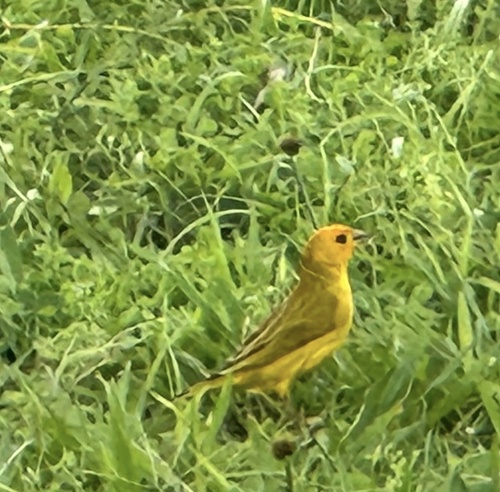
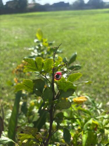
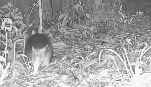
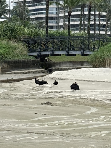
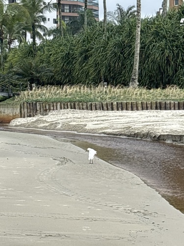
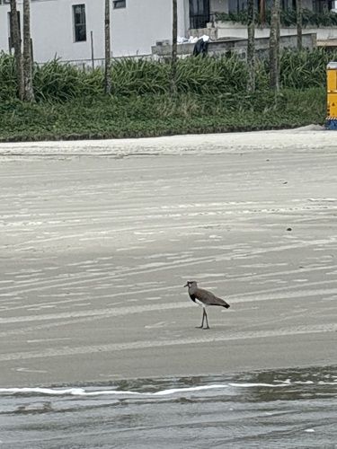
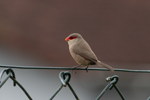
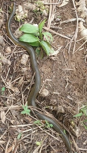
Research-grade observations from iNaturalist (within ~15 mi).
Events
Gallery
Official Identifiers
IBGE — Brazilian Institute of Geography and Statistics
- IBGE code
- 3523503
- UF
- SP
- Mesorregião
- Bauru
- Microrregião
- Avaré
servicodados.ibge.gov.br
Sources
- • USGS Earthquake Catalog (global feed)
- • GBIF (Global Biodiversity Information Facility)
- • iNaturalist
- • Open-Meteo / sunrise-sunset.org
- • IBGE — Brazilian national statistics, via servicodados.ibge.gov.br (official municipal code, UF, mesorregião, microrregião, region)
- • IBGE — Brazilian Institute of Geography and Statistics — servicodados.ibge.gov.br