Browse / Brazil / Rio Grande do Sul / Ivorá
Ivorá
Rio Grande do Sulvillage

Ivorá
Total population
1,929
Demographic figures from IBGE. Overview below cites Wikipedia and may reference a different year.
City facts
Overview
Ivorá is a Brazilian municipality in the state of Rio Grande do Sul. According to the 2022 census by the Brazilian Institute of Geography and Statistics (IBGE), the municipality has a population of 1.929 inhabitants.
Read more on WikipediaHistory & geography
History
The municipality of Ivorá was established on May 9, 1988, when it separated from the municipality of Júlio de Castilhos. However, its history began in May 1883 when José Manoel de Siqueira Couto, the director of the Silveira Martins Colony, started measuring colonial lots to be allocated to Italian immigrants camped there. Due to political and economic issues in Italy combined with Brazil's need for labor, especially in the latter half of the 19th century, there was a significant wave of Italian immigration to Brazil. In Rio Grande do Sul, Italians started arriving in 1870, settling in four immigration colonies. The first two colonies, Conde D'Eu and Dona Isabel, were established in 1870, now known as the municipalities of Garibaldi and Bento Gonçalves, respectively. The third colony, Caxias, was founded in 1875 and is now the municipality of Caxias do Sul. The fourth colony, Silveira Martins, was established in 1876 by the Imperial Government and has been occupied by Italian immigrants from 1877 onwards, including what is now Ivorá among several municipalities of the Fourth Colony of Italian Immigration. Ivorá, colonized in 1883 by immigrants from the current Italian regions of Veneto and Friuli-Venezia Giulia, was initially named Núcleo Norte. On May 10, 1883, José de Siqueira Couto began dividing the land, and by September 25, 1883, the first Italian colonist, Valentino Zancan, settled there. In 1884, urban lots were also divided, and the area was initially called São José de Núcleo Norte. Later, it was renamed Nova Údine in honor of the Italian city of Udine. On January 1, 1939, it was renamed Ivorá, an indigenous word meaning "Beautiful Beach River," due to Brazil's participation in World War II against Italy. In 2018, Talian was approved as a co-official…
Geography
Ivorá is located in the Serra de São Martinho, at a latitude of 29°31'13" south and a longitude of 53°34'50" west, at an altitude of 120 meters. It lies in the central region of Rio Grande do Sul, within the area known as the Fourth Italian Immigration Colony. This region also includes municipalities like Silveira Martins, São João do Polêsine, Faxinal do Soturno, Dona Francisca, Nova Palma, and Pinhal Grande. The municipal seat is situated in a transitional area between the central depression and the plateau.
Excerpted from the corresponding Wikipedia article (CC BY-SA).
Geography
Coordinates & boundaries from the US Census TIGER/Line shapefiles.
Climate
Air quality
Walkability
Amenities nearby
Wildlife & biodiversity
Earthquake history
Photos
Sights & places nearby
Notable people from here
People born within ~10 km, from Wikidata (CC0). Click any name for their Wikipedia article.
Nearby places in Rio Grande do Sul
- Recanto Maestro12.8 mi away
- Pinhal Grande19 mi away · pop. 3,805
- Júlio de Castilhos21 mi away · pop. 18,226
- Agudo21.6 mi away · pop. 16,041
- Restinga Sêca23.9 mi away · pop. 14,939
- Paraíso do Sul28.3 mi away · pop. 6,519
- Vila Paraíso28.3 mi away
- Passo das Tunas29.6 mi away
- Quevedos31.6 mi away · pop. 2,507
- Arroio do Tigre32.2 mi away · pop. 12,058
- Vila Block33.5 mi away
- Cerro Claro34 mi away
Geography & sun
Elevation, sunrise/sunset and daylight from Open-Meteo. Solar climatology from NASA POWER.
Nearby airports
Public attention
Pageview totals from the Wikimedia Pageviews API.
Books about this place
Recent natural events nearby
Ground air-quality sensors
Recently spotted species
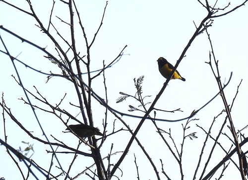
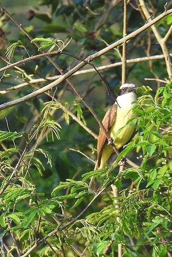
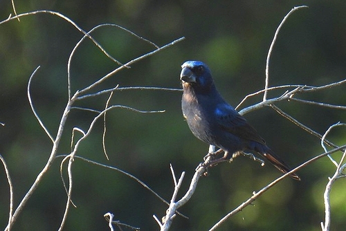
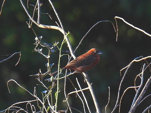
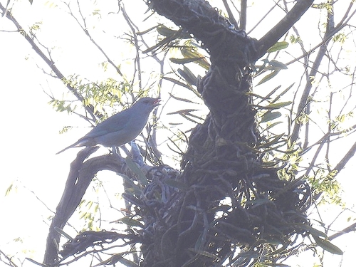
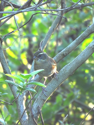
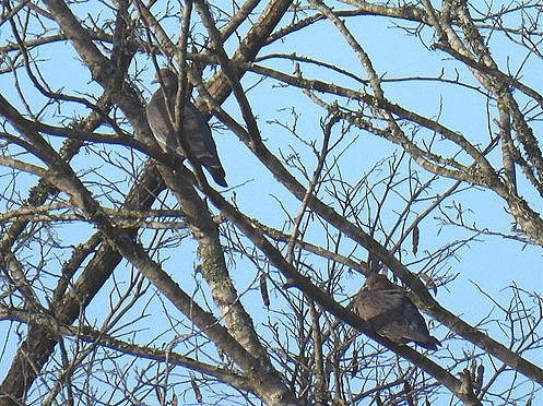
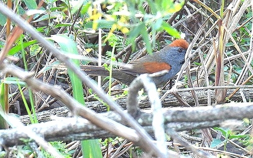
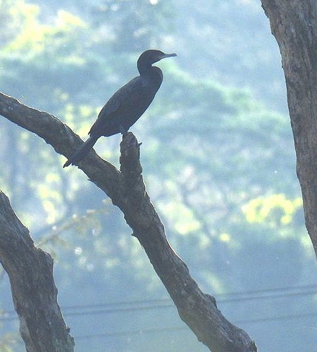
Research-grade observations from iNaturalist (within ~15 mi).
Events
Gallery
Official Identifiers
IBGE — Brazilian Institute of Geography and Statistics
- IBGE code
- 4310751
- UF
- RS
- Mesorregião
- Centro Ocidental Rio-grandense
- Microrregião
- Restinga Seca
servicodados.ibge.gov.br
Sources
- • Wikipedia
- • Wikidata
- • iNaturalist
- • Open-Meteo / sunrise-sunset.org
- • Wikipedia Pageviews API
- • IBGE — Brazilian national statistics, via servicodados.ibge.gov.br (official municipal code, UF, mesorregião, microrregião, region)
- • IBGE — Brazilian Institute of Geography and Statistics — servicodados.ibge.gov.br