Browse / Brazil / Minas Gerais / Juiz de Fora
Juiz de Fora
Minas Geraiscity

Juiz de Fora
Total population
540,756
Founded
1850
Demographic figures from IBGE. Overview below cites Wikipedia and may reference a different year.
City facts
Facts from Wikidata (CC0).
Overview
Juiz de Fora, also known as J.F., is a city in the southeastern Brazilian state of Minas Gerais, approximately 40 kilometres (25 mi) from the state border with Rio de Janeiro. As of the 2022 census the population was 540,756. The geographical area of the municipality is 1,437 km2 (555 sq mi).
Read more on WikipediaHistory & geography
History
The origins of Juiz de Fora can be traced back to the beginnings of the 18th century, when the Caminho Novo (New Way) road was opened linking Rio de Janeiro to the gold rush area of Minas Gerais around Vila Rica (now Ouro Preto). The region was covered with dense forest (hence its name; "Zona da Mata", Forest Zone). Despite the opening of the new route the area remained largely uninhabited and most of its scarce settlement was centered on the road itself. The first permanent inhabitants of the municipality were merchants and farmers who supplied the travelers' needs on the long road between the coast and the gold region. Further development would only take place after the decline of gold mining in the central zone of Minas Gerais. The capital previously invested in the mines was now invested in coffee plantations, and the region of Zona da Mata became a fertile ground to invest in. The position of the village then called Santo Antônio do Paraibuna was favourable due to the road connection with the capital of the country and its harbour. In 1850 the small village was officially elevated to city status. Progress continued in 1861 with the completion of the first macadamized road in Latin America, the Estrada União e Indústria (Union and Industry), replacing the Caminho Novo. Its name reflected the newfound wealth of the city, for industry replaced coffee-related agriculture as its economic heart. Five years later a new railway, the Estrada de Ferro Dom Pedro II, reached the city and in 1889 the first hydroelectric powerplant of Latin America (Marmelos Zero) was built on the Paraibuna river on the outskirts of the city along the Estrada União e Indústria. As both foreign and domestic capital fueled the industrial boom the city became a major centre (becoming the…
Geography
According to the modern (2017) geographic classification by Brazil's National Institute of Geography and Statistics (IBGE), the city is the main municipality in the Intermediate Geographic Region of Juiz de Fora. Juiz de Fora is located in southeast of Minas Gerais state. It is in a strategic location close to the important metropolitan areas of Rio de Janeiro, Belo Horizonte and São Paulo and on the main route from Rio de Janeiro to Belo Horizonte and Brasília. The distance of Juiz de Fora to important cities is: *Rio de Janeiro: *Belo Horizonte: *São Paulo: *Vitória: *Brasília: The municipality of Juiz de Fora is located in the Middle Paraibuna Basin, part of the Paraíba do Sul River basin, and its urban perimeter is drained by 156 sub-basins of various sizes. The main rivers that flow through the municipality are the Paraibuna, its tributaries the Cágado and Peixe Rivers, and the Monte Verde and Grão-Mogol rivers, tributaries of the Peixe River. The Paraibuna River receives the untreated discharge of domestic sewage and industrial effluents produced in the city. The Middle Paraibuna Basin has tributaries with relatively steep longitudinal profiles, which flow into the main river at a somewhat low gradient. The Paraibuna River has a fairly variable average slope throughout its course, with a moderate slope of approximately 1.0 m/km in the urban area of Juiz de Fora. The latest straightening of approximately 30 km, in the Industrial District I region, was designed to accommodate the regulating function of the recently completed Chapéu D'Uvas Dam. The dam was built to mitigate flooding and increase the city's water supply potential. Although lying within tropical latitudes the climate is relatively mild. The altitude of makes the weather usually cooler and…
Excerpted from the corresponding Wikipedia article (CC BY-SA).
Geography
Coordinates & boundaries from the US Census TIGER/Line shapefiles.
Climate
Air quality
Walkability
Amenities nearby
Wildlife & biodiversity
Most-observed species
- Great KiskadeePitangus sulphuratus (Linnaeus, 1766) · Aves562
- white-eyed conureAratinga leucophthalma (Statius Muller, 1776) · Aves510
- Saffron FinchSicalis flaveola (Linnaeus, 1766) · Aves499
- Sayaca TanagerThraupis sayaca (Linnaeus, 1766) · Aves427
- Rufous-bellied ThrushTurdus rufiventris Vieillot, 1818 · Aves412
- Swallow-tailed HummingbirdEupetomena macroura (J.F.Gmelin, 1788) · Aves366
- blue-and-white swallowNotiochelidon cyanoleuca (Vieillot, 1817) · Aves356
- Ruddy Ground-DoveColumbina talpacoti (Temminck, 1810) · Aves332
Citizen-science & research observations from the Global Biodiversity Information Facility (GBIF).
Earthquake history
Events from the USGS Earthquake Catalog (global) (FDSN Event Web Service).
Photos
Sights & places nearby
Notable people from here


People born within ~10 km, from Wikidata (CC0). Click any name for their Wikipedia article.
Nearby places in Minas Gerais
- Chácara10.3 mi away · pop. 3,075
- Sarandira11.4 mi away
- Rosário de Minas17.7 mi away
- Goianá18.2 mi away · pop. 4,053
- Carlos Alves18.4 mi away
- Conceição do Formoso23.1 mi away
- Rochedo de Minas23.1 mi away · pop. 2,291
- Dores do Paraibuna24.2 mi away
- Chiador25.2 mi away · pop. 2,800
- Penha Longa26.5 mi away
- Mantiqueira29.1 mi away
- Taruaçu29.2 mi away
Geography & sun
Elevation, sunrise/sunset and daylight from Open-Meteo. Solar climatology from NASA POWER.
Nearby airports
Public attention
Pageview totals from the Wikimedia Pageviews API.
Books about Juiz de Fora
Search results from Open Library.
Recent natural events nearby
Ground air-quality sensors
Recently spotted species
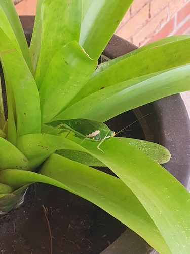
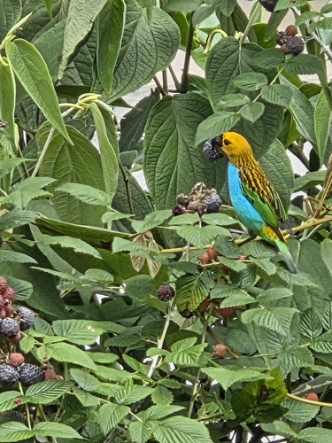
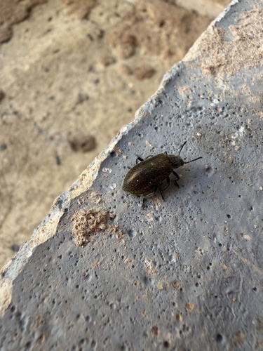
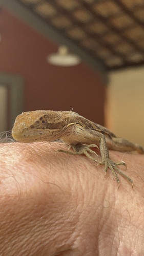

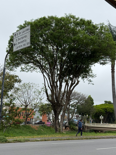
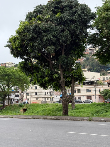
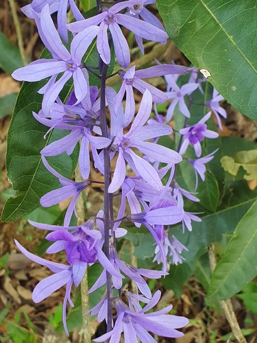

Research-grade observations from iNaturalist (within ~15 mi).
Events
Gallery
Official Identifiers
IBGE — Brazilian Institute of Geography and Statistics
- IBGE code
- 3136702
- UF
- MG
- Mesorregião
- Zona da Mata
- Microrregião
- Juiz de Fora
servicodados.ibge.gov.br
Sources
- • Wikipedia
- • Wikidata
- • USGS Earthquake Catalog (global feed)
- • GBIF (Global Biodiversity Information Facility)
- • iNaturalist
- • Open-Meteo / sunrise-sunset.org
- • Wikipedia Pageviews API
- • Open Library
- • Wikidata SPARQL (CC0) — population, area, elevation, inception, head of government, Commons image
- • IBGE — Brazilian national statistics, via servicodados.ibge.gov.br (official municipal code, UF, mesorregião, microrregião, region)
- • IBGE — Brazilian Institute of Geography and Statistics — servicodados.ibge.gov.br