Browse / Brazil / Minas Gerais / Lagoa da Prata
Lagoa da Prata
Minas Geraistown

Lagoa da Prata
Total population
51,412
Demographic figures from IBGE. Overview below cites Wikipedia and may reference a different year.
City facts
Facts from Wikidata (CC0).
Overview
Lagoa da Prata is a Brazilian municipality in the state of Minas Gerais. In 2025, its population was estimated to be 53,927. The city belongs to the mesoregion of Central Mineira and to the microregion of Bom Despacho.
Read more on WikipediaHistory & geography
History
In the 18th century, when Tiradentes was dismembered, the municipality of Itapecerica was created, consisting of 34 districts (or divisions) called ordinanças do Reino. Among them, there was a part called Pântano (where the municipality of Lagoa da Prata is located today), the 12th located. Another was Santo Antônio do Monte. The occupation of the place where the city is today began with a dam, built by a Portuguese named Novato, who wanted mills and monjolos. With the expansion of its embankment and the affluence of the adjacent swamp, the small dam was transformed into a lagoon. Around 1850, Lieutenant Francisco Bernardes acquired a large extension of land on the banks of the São Francisco River. Bernardes acquired a large tract of land on the banks of the São Francisco River and established himself commercially there, later dedicating himself to agriculture. When he died, the farm was acquired by his nephew Colonel Carlos José Bernardes Sobrinho, who transferred it to the vicinity of the aforementioned lake, dedicating himself to the commercialization of coffee and oxen. In a short time, there were a large number of inhabitants among households, family members and employees. Later, Colonel Carlos Bernardes donated land for the construction of the Church under the patronage of São Carlos, around which the village developed. One day, some missionary friars, passing by the shores of the lake, observed reflections of the sun on the waters. They referred to the place as “Lagoa da Prata”. An excerpt from the book: História de Lagoa da Prata, by Acácio Mendes, tells the story of the origin of the name of what would then be the municipality: “One day some Franciscan Friars who were preaching Missions came to the edge of this dam and who, naturally to have a snack and…
Geography
Lagoa da Prata is located in the Midwest of Minas Gerais, in Alto São Francisco, with an area of 439,984 km², 211 km from Belo Horizonte, the state capital. The municipality of Lagoa da Prata is located at 658 meters of altitude and its predominant climate is the Tropical with dry season (Aw). The annual average temperature is 21.8 °C, and in summer it can pass around 30 °C and in winter it can reach less than 10 °C. The city has two well-defined seasons: a hot and rainy summer between the months of October and March, and a cold and dry winter between May and September. The average annual precipitation is 1512mm. The predominant natural vegetation cover is the Cerrado and its variants, but today only small remnants of the natural vegetation are intact, due to the intense deforestation for cultivation of pastures and agricultural activities such as the cultivation of sugar cane.
Excerpted from the corresponding Wikipedia article (CC BY-SA).
Geography
Coordinates & boundaries from the US Census TIGER/Line shapefiles.
Climate
Air quality
Walkability
Amenities nearby
Wildlife & biodiversity
Earthquake history
Photos
Sights & places nearby
Notable people from here

People born within ~10 km, from Wikidata (CC0). Click any name for their Wikipedia article.
Nearby places in Minas Gerais
- Iguatama15.1 mi away · pop. 6,826
- Pains25 mi away · pop. 8,142
- Córrego Fundo29.5 mi away · pop. 6,133
- Perdigão30.2 mi away · pop. 12,268
- Engenho do Ribeiro35 mi away
- Boa Vista de Minas40.3 mi away
- Altolândia41.6 mi away
- Medeiros44 mi away · pop. 3,900
- São Gonçalo do Pará44.6 mi away · pop. 11,770
- Martinho Campos51.8 mi away · pop. 14,003
- Onça de Pitangui52 mi away · pop. 2,969
- São Jerônimo dos Poções52.9 mi away
Geography & sun
Nearby airports
Public attention
Books about this place
Recent natural events nearby
Ground air-quality sensors
Recently spotted species
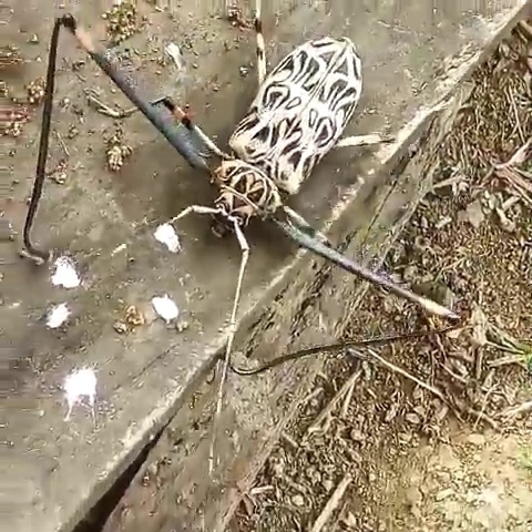
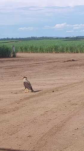
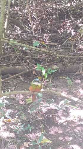
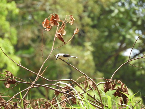
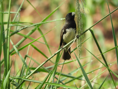
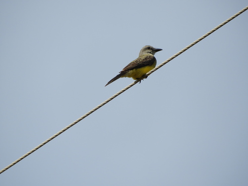
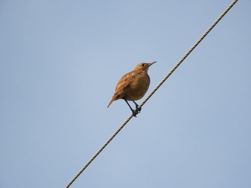
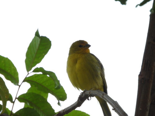
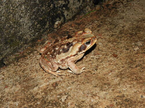
Research-grade observations from iNaturalist (within ~15 mi).
Events
Gallery
Official Identifiers
IBGE — Brazilian Institute of Geography and Statistics
- IBGE code
- 3137205
- UF
- MG
- Mesorregião
- Central Mineira
- Microrregião
- Bom Despacho
servicodados.ibge.gov.br
Sources
- • Wikipedia
- • Wikidata
- • iNaturalist
- • Wikidata SPARQL (CC0) — population, area, elevation, inception, head of government, Commons image
- • IBGE — Brazilian national statistics, via servicodados.ibge.gov.br (official municipal code, UF, mesorregião, microrregião, region)
- • IBGE — Brazilian Institute of Geography and Statistics — servicodados.ibge.gov.br