Browse / Brazil / Espírito Santo / Linhares
Linhares
Espírito Santocity

Linhares
Total population
581,912
Founded
1800
Demographic figures from IBGE. Overview below cites Wikipedia and may reference a different year.
City facts
Facts from Wikidata (CC0).
Overview
Linhares is a municipality in the state of Espírito Santo, Brazil, 135 kilometres (84 mi) north of the state capital, Vitória. It is the largest municipality by area in the state, at 9,501.6 km2, and has a population of 166,786 people as of 2022 Census.
Read more on WikipediaHistory & geography
History
The area today known as Linhares was once inhabited by the Botocudo. The town, founded by Europeans on August 22, 1800, was destroyed by the Indians during a war in 1809. The area was visited by Brazilian Emperor Dom Pedro II in 1860. An island he set foot on is still known as the Emperor's Island. Linhares became a municipality in 1945, when it was detached from the municipality of Colatina.
Geography
Linhares is characterized by undulating lowlands and numerous lakes. The town sits on the Doce River amidst its 69 lakes. The climate is hot, tropical, and humid, typically with a dry winter season and a more humid summer. The main freshwater lagoons in the region are: Japaranã-Mirim, Palmas, Durão, Palminhas, Aguiá, Monsarás, Limão, Feia, Combóios, Piabanha, Óleo, Pau Grosso, Terra Alta and Patrão. The Juparanã Lagoon (freshwater) is also the second largest in water volume in the country. There is an official nudist beach called Barra Seca 60 km to the east of Linhares. The municipality contains part of the Comboios Biological Reserve, a fully protected area. It also contains part of the Sooretama Biological Reserve, a strictly protected conservation unit created in 1982 when two earlier units were merged. It contains the Goytacazes National Forest, created in 2002.
Excerpted from the corresponding Wikipedia article (CC BY-SA).
Geography
Coordinates & boundaries from the US Census TIGER/Line shapefiles.
Climate
Air quality
Walkability
Amenities nearby
Wildlife & biodiversity
Most-observed species
- Planktolyngbya limnetica (Lemmerm.) Komárk.-Legn. & CronbergPlanktolyngbya limnetica (Lemmerm.) Komárk.-Legn. & Cronberg · Cyanobacteriia1,153
- Aphanocapsa delicatissima W.West & G.S.WestAphanocapsa delicatissima W.West & G.S.West · Cyanobacteriia860
- Synechocystis aquatilis Sauv.Synechocystis aquatilis Sauv. · Cyanobacteriia809
- Monoraphidium contortum (Thur.) Komárk.-Legn.Monoraphidium contortum (Thur.) Komárk.-Legn. · Chlorophyceae775
- CylindroRaphidiopsis raciborskii (Wołoszyńska, 1912) Aguilera et al., 2018 · Cyanobacteriia755
- Ankistrodesmus spec KorshikovAnkistrodesmus spec Korshikov · Chlorophyceae753
- Epigloeosphaera brasilica M.T.P.Azevedo et al.Epigloeosphaera brasilica M.T.P.Azevedo et al. · Bacteria615
- Rhizosolenia eriensis Lavander, 1904Rhizosolenia eriensis Lavander, 1904 · Bacillariophyceae555
Citizen-science & research observations from the Global Biodiversity Information Facility (GBIF).
Earthquake history
Events from the USGS Earthquake Catalog (global) (FDSN Event Web Service).
Photos
Sights & places nearby
Notable people from here


People born within ~10 km, from Wikidata (CC0). Click any name for their Wikipedia article.
Geography & sun
Elevation, sunrise/sunset and daylight from Open-Meteo. Solar climatology from NASA POWER.
Nearby airports
Public attention
Pageview totals from the Wikimedia Pageviews API.
Books about Linhares

Search results from Open Library.
Recent natural events nearby
Ground air-quality sensors
Recently spotted species
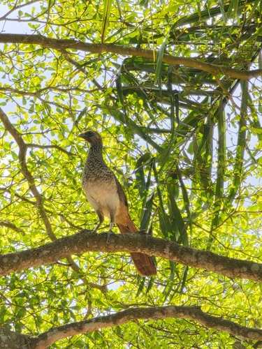
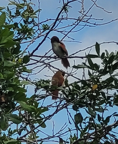
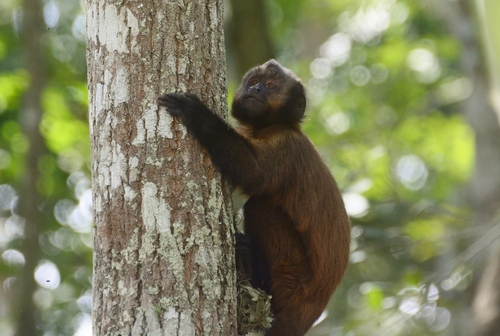
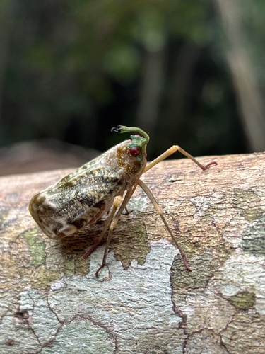


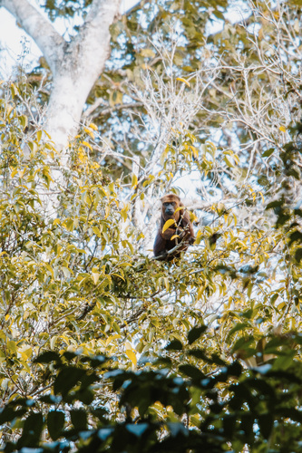

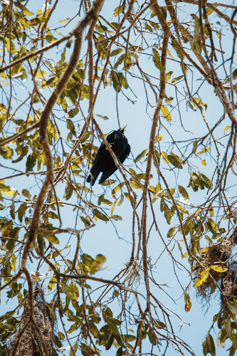
Research-grade observations from iNaturalist (within ~15 mi).
Events
Gallery
Official Identifiers
IBGE — Brazilian Institute of Geography and Statistics
- IBGE code
- 3203205
- UF
- ES
- Mesorregião
- Litoral Norte Espírito-santense
- Microrregião
- Linhares
servicodados.ibge.gov.br
Sources
- • Wikipedia
- • Wikidata
- • USGS Earthquake Catalog (global feed)
- • GBIF (Global Biodiversity Information Facility)
- • iNaturalist
- • Open-Meteo / sunrise-sunset.org
- • Wikipedia Pageviews API
- • Open Library
- • Wikidata SPARQL (CC0) — population, area, elevation, inception, head of government, Commons image
- • IBGE — Brazilian national statistics, via servicodados.ibge.gov.br (official municipal code, UF, mesorregião, microrregião, region)
- • IBGE — Brazilian Institute of Geography and Statistics — servicodados.ibge.gov.br