Browse / Brazil / São Paulo / Lorena
Lorena
São Paulotown
Total population
84,855
Demographic figures from IBGE. Overview below cites Wikipedia and may reference a different year.
City facts
Overview
As a sizeable town in São Paulo, Brazil, Lorena occupies its own corner of the country. Coordinates of -22.737°, -45.107° situate Lorena in the tropical zone of the southern hemisphere. It is home to roughly 84,855 residents. The location receives about 1,795 kWh/m² of solar irradiance per year and sunshine for roughly 70% of daylight hours. The latitude suggests warm temperatures throughout the year with pronounced wet and dry seasons. Further detail — demographics, climate, nearby amenities and natural-hazard data — is compiled below from public open-data sources.
Summary composed automatically from structured open data on this page. See our Terms for details.
History & geography
Geography
Coordinates & boundaries from the US Census TIGER/Line shapefiles.
Climate
Air quality
Walkability
Amenities nearby
Wildlife & biodiversity
Earthquake history
Photos
Sights & places nearby
Notable people from here


People born within ~10 km, from Wikidata (CC0). Click any name for their Wikipedia article.
Nearby places in São Paulo
- Santa Lucrécia4 mi away
- Cachoeira Paulista8.2 mi away · pop. 31,564
- Embaú9.9 mi away
- Aparecida11.3 mi away · pop. 32,569
- Roseira17 mi away · pop. 10,832
- Moreira César20.5 mi away · pop. 43,972
- Vila Bocaina de São Roque22.6 mi away
- Areias28.3 mi away · pop. 3,577
- Guedes33.9 mi away
- Catuçaba35.7 mi away
- Santo Antônio do Pinhal36.2 mi away · pop. 7,133
- Bugre38.2 mi away
Geography & sun
Elevation, sunrise/sunset and daylight from Open-Meteo. Solar climatology from NASA POWER.
Nearby airports
Public attention
Books about Lorena
Search results from Open Library.
Recent natural events nearby
Ground air-quality sensors
Recently spotted species
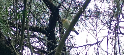
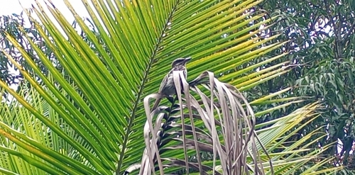
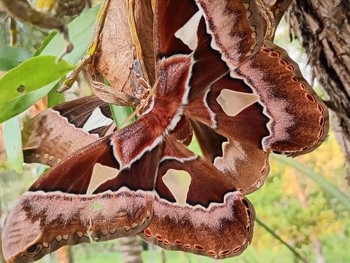
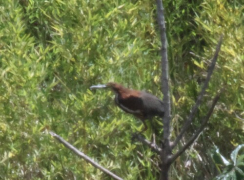
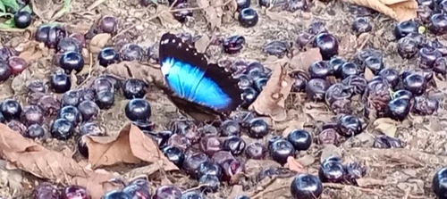
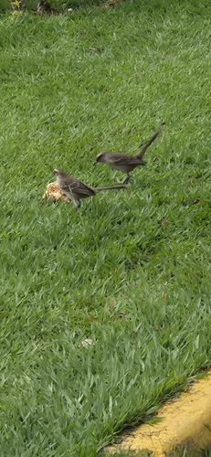
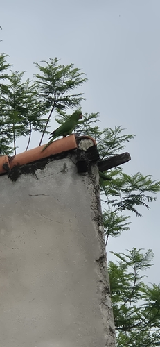
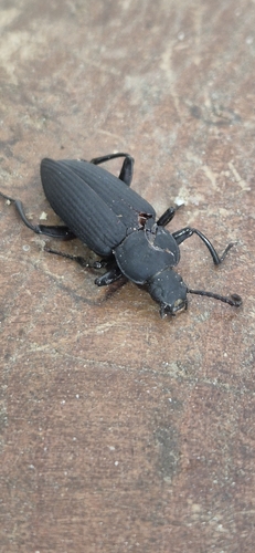
Research-grade observations from iNaturalist (within ~15 mi).
Events
Gallery
Official Identifiers
IBGE — Brazilian Institute of Geography and Statistics
- IBGE code
- 3527207
- UF
- SP
- Mesorregião
- Vale do Paraíba Paulista
- Microrregião
- Guaratinguetá
servicodados.ibge.gov.br
Sources
- • Wikidata
- • iNaturalist
- • Open-Meteo / sunrise-sunset.org
- • Open Library
- • IBGE — Brazilian national statistics, via servicodados.ibge.gov.br (official municipal code, UF, mesorregião, microrregião, region)
- • IBGE — Brazilian Institute of Geography and Statistics — servicodados.ibge.gov.br