Browse / Brazil / São Paulo / Lutécia
Lutécia
São Paulovillage

Lutécia
Total population
2,661
Demographic figures from IBGE. Overview below cites Wikipedia and may reference a different year.
City facts
Facts from Wikidata (CC0).
Overview
Lutécia is a municipality in the state of São Paulo in Brazil. The population is 2,636 in an area of 475 km2. The elevation is 581 m.
Read more on WikipediaHistory & geography
History
The municipality was created by state law in 1944.
Excerpted from the corresponding Wikipedia article (CC BY-SA).
Geography
Coordinates & boundaries from the US Census TIGER/Line shapefiles.
Climate
Air quality
Walkability
Amenities nearby
Wildlife & biodiversity
Most-observed species
- Velvety free-tailed batMolossus molossus (Pallas, 1766) · Mammalia8
- Black MyotisMyotis nigricans (Schinz, 1821) · Mammalia2
- Toco ToucanRamphastos toco P.L.S.Müller, 1776 · Aves2
- Rhaphiolepis bibas (Lour.) Galasso & BanfiRhaphiolepis bibas (Lour.) Galasso & Banfi · Magnoliopsida1
- Navosoma luctuosum (Schönherr, 1817)Navosoma luctuosum (Schönherr, 1817) · Insecta1
- Enoplocerus armillatus (Linnaeus, 1767)Enoplocerus armillatus (Linnaeus, 1767) · Insecta1
- Apoica gelida Vecht, 1972Apoica gelida Vecht, 1972 · Insecta1
- Gomphoides perdita (Förster, 1914)Gomphoides perdita (Förster, 1914) · Insecta1
Citizen-science & research observations from the Global Biodiversity Information Facility (GBIF).
Earthquake history
Most recent
- M 3.5 — 2018-07-2616 km SW of Penápolis, Brazil
Events from the USGS Earthquake Catalog (global) (FDSN Event Web Service).
Photos
Sights & places nearby
Notable people from here
People born within ~10 km, from Wikidata (CC0). Click any name for their Wikipedia article.
Nearby places in São Paulo
- Cardoso de Almeida15.9 mi away
- Amadeu Amaral21.6 mi away
- Bairro da Serrinha24.8 mi away
- Novo Cravinhos30.2 mi away
- Bairro de Córdoba32.6 mi away
- Bairro São Bento35.4 mi away
- Bastos36 mi away · pop. 21,503
- Bairro Olaria36.2 mi away
- Bairro Atali40.2 mi away
- Parapuã46.2 mi away · pop. 10,580
- Álvaro de Carvalho46.7 mi away · pop. 4,808
- Vila Escócia46.9 mi away
Geography & sun
Elevation, sunrise/sunset and daylight from Open-Meteo. Solar climatology from NASA POWER.
Nearby airports
Public attention
Pageview totals from the Wikimedia Pageviews API.
Books about this place
Recent natural events nearby
Ground air-quality sensors
Recently spotted species
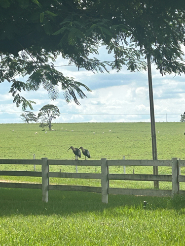
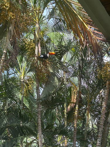
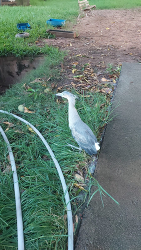
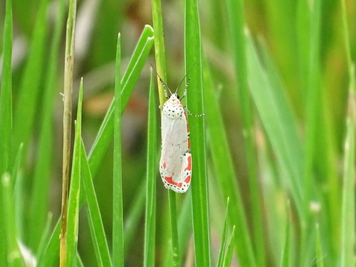
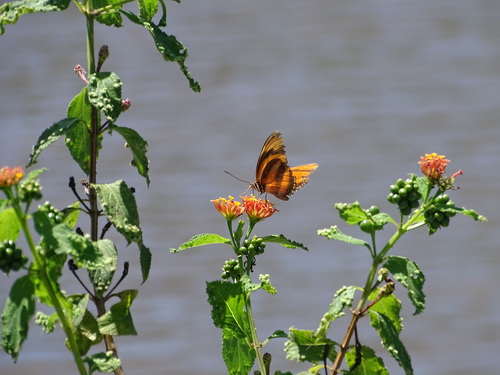
Research-grade observations from iNaturalist (within ~15 mi).
Events
Gallery
Official Identifiers
IBGE — Brazilian Institute of Geography and Statistics
- IBGE code
- 3527900
- UF
- SP
- Mesorregião
- Assis
- Microrregião
- Assis
servicodados.ibge.gov.br
Sources
- • Wikipedia
- • Wikidata
- • USGS Earthquake Catalog (global feed)
- • GBIF (Global Biodiversity Information Facility)
- • iNaturalist
- • Open-Elevation
- • Open-Meteo / sunrise-sunset.org
- • Wikipedia Pageviews API
- • IBGE — Brazilian national statistics, via servicodados.ibge.gov.br (official municipal code, UF, mesorregião, microrregião, region)
- • IBGE — Brazilian Institute of Geography and Statistics — servicodados.ibge.gov.br