Browse / Brazil / Goiás / Luziânia
Luziânia
Goiáscity

Luziânia
Total population
209,129
Founded
1746
Demographic figures from IBGE. Overview below cites Wikipedia and may reference a different year.
City facts
Facts from Wikidata (CC0).
Overview
Luziânia is a municipality in the state of Goiás, Brazil. This city is a producer of agricultural products, including soybeans and beans.
Read more on WikipediaHistory & geography
Geography
Luziânia is located 68km south of Brasília and is part of the area, called Entorno do Distrito Federal. Although the city has existed as a settlement since colonial days, its rapid growth occurred in the eighties and nineties with the population explosion of the federal capital and the need for less expensive living areas outside the planned city. The municipality is limited in the north by Valparaíso de Goiás and Novo Gama; in the south by Orizona and Ipameri; in the west by Santo Antônio do Descoberto, Alexânia, and Silvânia; and in the east by Cristalina.
Excerpted from the corresponding Wikipedia article (CC BY-SA).
Geography
Coordinates & boundaries from the US Census TIGER/Line shapefiles.
Climate
Air quality
Walkability
Amenities nearby
Wildlife & biodiversity
Most-observed species
- Picazuro PigeonPatagioenas picazuro (Temminck, 1813) · Aves139
- Ruddy Ground-DoveColumbina talpacoti (Temminck, 1810) · Aves124
- Scaled DoveColumbina squammata (R.Lesson, 1831) · Aves110
- Saffron FinchSicalis flaveola (Linnaeus, 1766) · Aves103
- Yellow-chevroned ParakeetBrotogeris chiriri (Vieillot, 1818) · Aves94
- Purple-throated EuphoniaEuphonia chlorotica (Linnaeus, 1766) · Aves89
- peach-fronted conureAratinga aurea (Gmelin, 1788) · Aves87
- Small-billed TinamouCrypturellus parvirostris (Wagler, 1827) · Aves85
Citizen-science & research observations from the Global Biodiversity Information Facility (GBIF).
Earthquake history
Events from the USGS Earthquake Catalog (global) (FDSN Event Web Service).
Photos
Sights & places nearby
Notable people from here


People born within ~10 km, from Wikidata (CC0). Click any name for their Wikipedia article.
Nearby places in Goiás
- Santo Antônio do Descoberto29.7 mi away · pop. 72,127
- Serra do Ouro32.9 mi away
- Povoado Quilombo34.8 mi away
- Maniratuba39.2 mi away
- Olhos D'Água45.4 mi away
- Vianópolis50.6 mi away · pop. 14,956
- Edilândia50.8 mi away
- Fazenda Nossa Senhora da Conceição51.6 mi away
- Taquaral de Baixo52.3 mi away
- Leopoldo de Bulhões58.3 mi away · pop. 8,745
- Orizona58.6 mi away · pop. 16,399
- Engenheiro Valente60.8 mi away
Geography & sun
Elevation, sunrise/sunset and daylight from Open-Meteo. Solar climatology from NASA POWER.
Nearby airports
Public attention
Pageview totals from the Wikimedia Pageviews API.
Books about this place
Recent natural events nearby
Ground air-quality sensors
Recently spotted species
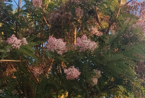



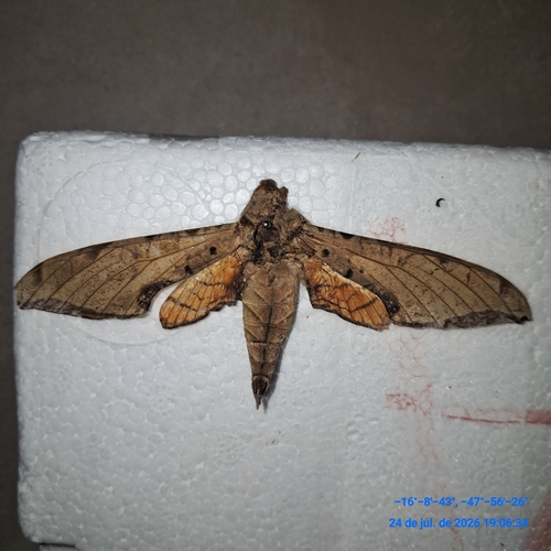

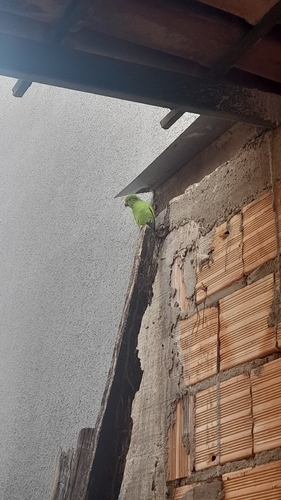
Research-grade observations from iNaturalist (within ~15 mi).
Events
Gallery
Official Identifiers
IBGE — Brazilian Institute of Geography and Statistics
- IBGE code
- 5212501
- UF
- GO
- Mesorregião
- Leste Goiano
- Microrregião
- Entorno de Brasília
servicodados.ibge.gov.br
Sources
- • Wikipedia
- • Wikidata
- • USGS Earthquake Catalog (global feed)
- • GBIF (Global Biodiversity Information Facility)
- • iNaturalist
- • Open-Meteo / sunrise-sunset.org
- • Wikipedia Pageviews API
- • Wikidata SPARQL (CC0) — population, area, elevation, inception, head of government, Commons image
- • IBGE — Brazilian national statistics, via servicodados.ibge.gov.br (official municipal code, UF, mesorregião, microrregião, region)
- • IBGE — Brazilian Institute of Geography and Statistics — servicodados.ibge.gov.br