Browse / Brazil / Bahia / Macaúbas
Macaúbas
Bahiatown

Macaúbas
Total population
41,859
Demographic figures from IBGE. Overview below cites Wikipedia and may reference a different year.
City facts
Facts from Wikidata (CC0).
Overview
Macaúbas is a municipality in the state of Bahia in the North-East region of Brazil. Its population in 2020 was 50,161 inhabitants. The municipality covers an area of 3039 km2. It lies in the call Physiographic Zone of the Serra Geral, the Chapada Diamantina Southern microregion.
Read more on WikipediaHistory & geography
History
The Indians belonging to the Tupinaés group (Tupinambás branch) were the first inhabitants of the area). There are several archaeological sites throughout the county. The unclassified extinct Galache language was spoken near Macaúbas. The formation of the county began in the mid-seventeenth century, in place "Poor" when the first whites arrived there and erected a chapel in honor of Our Lady of the Immaculate Conception, patroness of the city today. Pioneers who were transiting through the Sao Francisco River in search of gold and precious stones. The town was formed on lands belonging to the city of Vulture (Rio Branco, today Paratinga) which was partitioned in 1832 to provide independent municipality, with the toponym of Macaúbas, by state decree of July 6, 1832, which also raised its headquarters to the town category. The beginning of its operation occurred on September 23, 1833. With the growth of the village, the parsonage of the original chapel became the parish of Our Lady of the Immaculate Conception Macaúbas promoted by the provincial Law No. 124 of May 19, 1840. This designation was due to the abundance of a species of palm, which the Indians call "macaw" or "macaw", now extinct in the county. Under State law No. 1761 of June 10, 1925, Macaúbas was elevated to city and county seat, which was incorporated into the territory of the extinct town of Bom Sucesso (current Ibitiara) already emancipated. The city grew around the Church of Our Lady of Conception, whose parish was created by Law 124 of May 19, 1840. In training the people macaubense there is strong presence of mixed indigenous with white of Portuguese origin. The black man was not so present, because the city was poor and had many slaves. The huge city lost lands in the '60s, when emancipated…
Geography
The main elevation is the mountain of Macaúbas very extensive and uniform, which runs the city from south to north, and rises to 1250 meters. Tributaries of San Francisco for the right margin. The Paramirim River, which rises in the Serra das Almas, forms a border with the municipalities of Caturama, Rio do Pires and Ibipitanga. The weir Macaúbas with a capacity of 20.9 million meters cubic, built by former DNOCS, remains today.
Excerpted from the corresponding Wikipedia article (CC BY-SA).
Geography
Coordinates & boundaries from the US Census TIGER/Line shapefiles.
Climate
Air quality
Walkability
Amenities nearby
Wildlife & biodiversity
Most-observed species
- Bellyache bush, Black physicnut, Cotton-leaf physicnut, American purging nut, Cotton-leaf jatropha, Purging nut, Red fig-nut flower, Wild cassavaJatropha gossypiifolia L. · Magnoliopsida2
- MudarCalotropis procera (Aiton) W.T.Aiton · Magnoliopsida2
- Abracris flavolineata (De Geer, 1773)Abracris flavolineata (De Geer, 1773) · Insecta1
- Common BlueHemiargus hanno (Stoll, 1790) · Insecta1
- Oleander aphidAphis nerii Boyer de Fonscolombe, 1841 · Insecta1
- cactus conureAratinga cactorum (Kuhl, 1820) · Aves1
- Red-cowled CardinalParoaria dominicana (Linnaeus, 1758) · Aves1
- Chalk-browed MockingbirdMimus saturninus (Lichtenstein, 1823) · Aves1
Citizen-science & research observations from the Global Biodiversity Information Facility (GBIF).
Earthquake history
Events from the USGS Earthquake Catalog (global) (FDSN Event Web Service).
Photos
Sights & places nearby
Notable people from here


People born within ~10 km, from Wikidata (CC0). Click any name for their Wikipedia article.
Nearby places in Bahia
Geography & sun
Elevation, sunrise/sunset and daylight from Open-Meteo. Solar climatology from NASA POWER.
Nearby airports
Public attention
Pageview totals from the Wikimedia Pageviews API.
Books about Macaúbas
Search results from Open Library.
Recent natural events nearby
Ground air-quality sensors
Recently spotted species
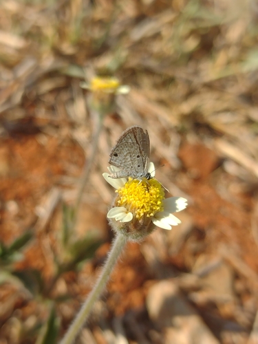
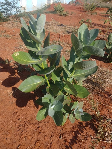
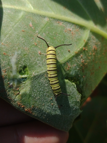
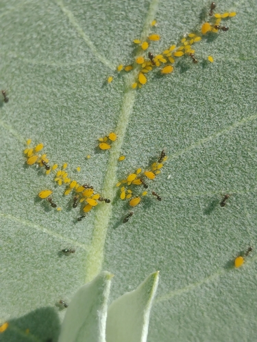
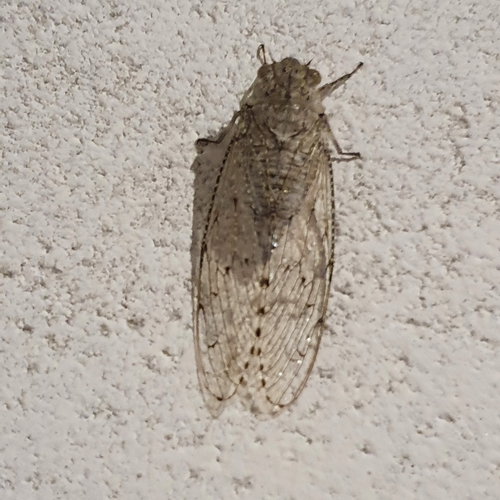
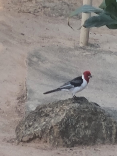
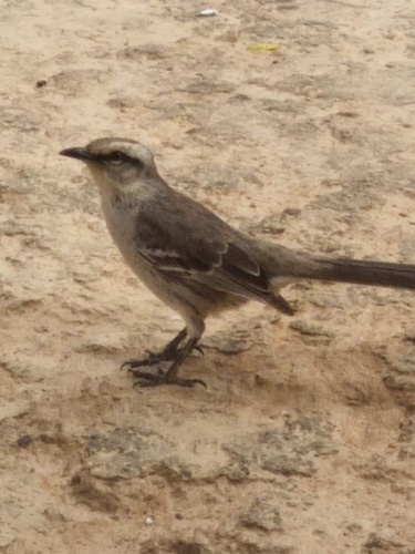
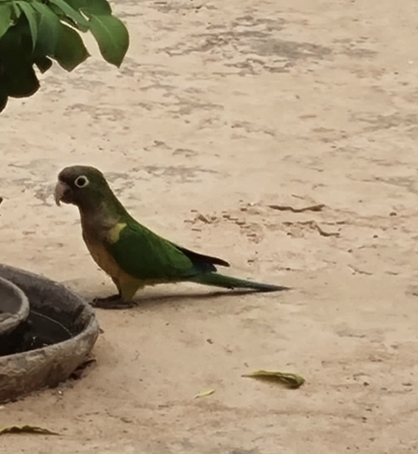
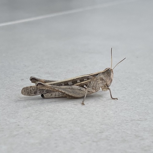
Research-grade observations from iNaturalist (within ~15 mi).
Events
Gallery
Official Identifiers
IBGE — Brazilian Institute of Geography and Statistics
- IBGE code
- 2919801
- UF
- BA
- Mesorregião
- Centro Sul Baiano
- Microrregião
- Boquira
servicodados.ibge.gov.br
Sources
- • Wikipedia
- • Wikidata
- • USGS Earthquake Catalog (global feed)
- • GBIF (Global Biodiversity Information Facility)
- • iNaturalist
- • Open-Meteo / sunrise-sunset.org
- • Wikipedia Pageviews API
- • Open Library
- • IBGE — Brazilian national statistics, via servicodados.ibge.gov.br (official municipal code, UF, mesorregião, microrregião, region)
- • IBGE — Brazilian Institute of Geography and Statistics — servicodados.ibge.gov.br