Browse / Brazil / Alagoas / Maceió
Maceió
Alagoascity

Maceió
Total population
957,916
Founded
1815
Demographic figures from IBGE. Overview below cites Wikipedia and may reference a different year.
City facts
Sister cities
Facts from Wikidata (CC0).
Overview
Maceió, formerly anglicised as Maceio, is the capital and the largest city of the coastal state of Alagoas, Brazil. The name "Maceió" is a Tupi Indigenous term for a spring.
Read more on WikipediaHistory & geography
History
The city began in an old sugar mill and plantation complex around the 19th century. Its development started with the arrival of ships taking wood from Jaraguá bay. With the installation of the sugar mills, Maceió started to export sugar, then tobacco, coconut, leather, and some spices. Prosperity made it possible for the settlement to become a village on December 5, 1815. Thanks to its continued growth, Maceió became the capital of the Alagoas state on December 9, 1839. Maceió is also a port city and due to its port development about 200 years ago it changed from a village into a city. Maceió was reportedly hit hard by the 2015–16 Zika virus epidemic. In reality, while the epidemic's epicenter is considered to be Bahia and Pernambuco, the incidence rate of Alagoas, nestled in between these two states (together with Sergipe), was considered a "paradox" by the Ministry of Health authorities given its low number of reported cases during the epidemic.
Geography
The city is located between the Mundaú Lagoon and the Atlantic Ocean, with a tropical climate with average temperature of . , its metropolitan area had a total population of 1,354,973 inhabitants. Maceió has a typical tropical climate, specifically a tropical monsoon climate (Köppen climate classification: Am, somewhat bordering on As), with very warm to hot temperatures and high relative humidity all throughout the year. However, these conditions are relieved by a near absence of extreme temperatures due to trade winds blowing from the ocean. January is the warmest month, with mean maximum of and minimum of and more sun; July experiences the coolest temperatures, with mean maximum of and minimum of accompanied by higher humidity and much more rain. The natural vegetation surrounding Maceió is tropical rainforest. Rainforests are characterized by high rainfall, with definitions setting minimum normal annual rainfall between . The soil can be poor because high rainfall tends to leach out soluble nutrients.
Excerpted from the corresponding Wikipedia article (CC BY-SA).
Geography
Coordinates & boundaries from the US Census TIGER/Line shapefiles.
Climate
10-year averages from ERA5 reanalysis (Open-Meteo).
Air quality
Walkability
Amenities nearby
Wildlife & biodiversity
Most-observed species
- Great KiskadeePitangus sulphuratus (Linnaeus, 1766) · Aves1,748
- Palm TanagerThraupis palmarum (Wied-Neuwied, 1821) · Aves1,571
- Black VultureCoragyps atratus (Bechstein, 1793) · Aves1,507
- Tropical KingbirdTyrannus melancholicus Vieillot, 1819 · Aves1,380
- Rock PigeonColumba livia J.F.Gmelin, 1789 · Aves1,341
- Southern CaracaraCaracara plancus (J.F.Miller, 1777) · Aves1,198
- Ruddy Ground-DoveColumbina talpacoti (Temminck, 1810) · Aves1,115
- Southern LapwingVanellus chilensis (Molina, 1782) · Aves1,095
Citizen-science & research observations from the Global Biodiversity Information Facility (GBIF).
Earthquake history
Events from the USGS Earthquake Catalog (global) (FDSN Event Web Service).
Photos
Sights & places nearby
Notable people from here


People born within ~10 km, from Wikidata (CC0). Click any name for their Wikipedia article.
Nearby places in Alagoas
- Barra Nova7.3 mi away
- Satuba8.1 mi away · pop. 24,278
- Praia do Francês11.5 mi away
- Condominio Por do Sol15.9 mi away
- Residencial Vista da Lagoa16.1 mi away
- Residencial Morada Nova16.1 mi away
- Residencial Professor Alessandro16.2 mi away
- Vila José Paulino20.6 mi away
- S. Luzia20.7 mi away
- Roteiro21 mi away · pop. 6,474
- S. Antônio23.6 mi away
- Sapucaia23.9 mi away
Geography & sun
Elevation, sunrise/sunset and daylight from Open-Meteo. Solar climatology from NASA POWER.
Nearby airports
Public attention
Pageview totals from the Wikimedia Pageviews API.
Books about Maceió
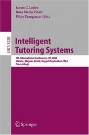
Search results from Open Library.
Recent natural events nearby
Ground air-quality sensors
Recently spotted species
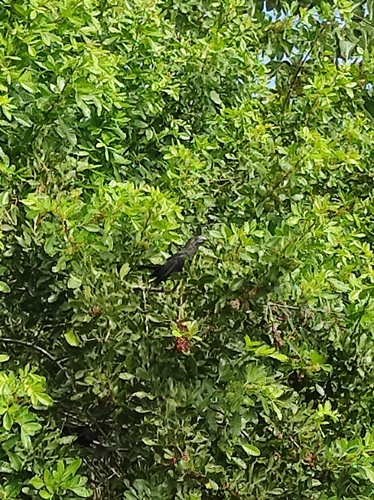
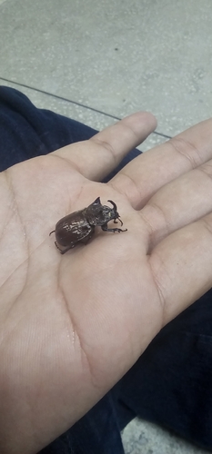
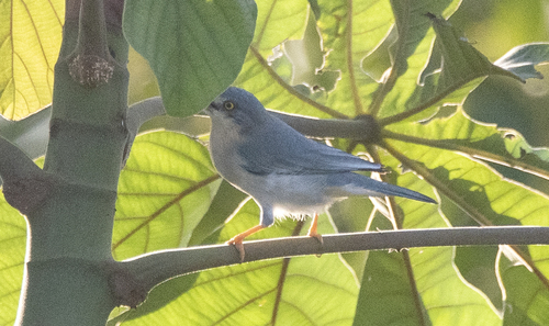
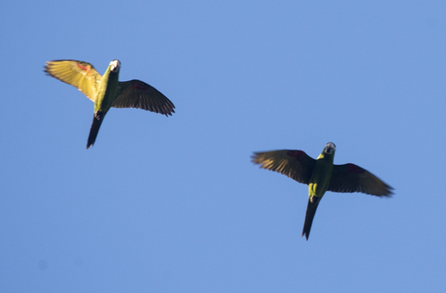
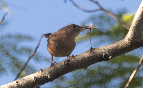
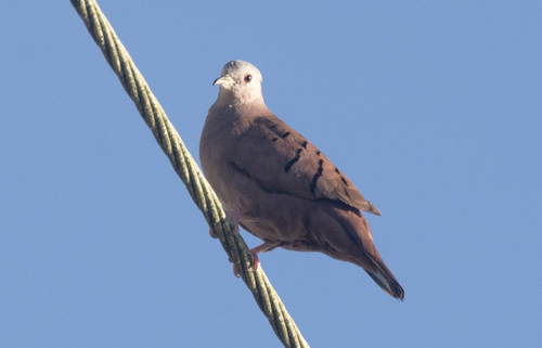
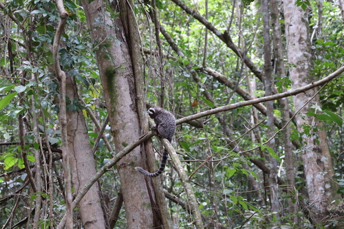
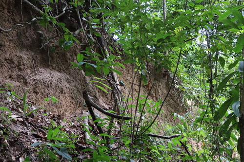
Research-grade observations from iNaturalist (within ~15 mi).
Events
Gallery
Geotagged photos within ~6 miles of Maceió, from Wikimedia Commons contributors.
 0.3 mi
.jpg) 0.3 mi
0.3 mi.jpg) 0.3 mi
0.3 mi 0.5 mi
 0.5 mi
 0.5 mi
 0.5 mi
 0.7 mi
.jpg) 0.7 mi
0.7 mi 0.9 mi
 0.9 mi
 0.9 mi
.jpg) 0.9 mi
0.9 mi.jpg) 0.9 mi
0.9 mi.jpg) 0.9 mi
0.9 mi 1 mi
1 mi 1 mi
1 mi 1 mi
1 mi 1.1 mi
 1.1 mi
 1.1 mi
 1.1 mi
 1.2 mi
 1.2 mi
Photos via Wikimedia Commons — see each image page for license & attribution.
Official Identifiers
IBGE — Brazilian Institute of Geography and Statistics
- IBGE code
- 2704302
- UF
- AL
- Mesorregião
- Leste Alagoano
- Microrregião
- Maceió
servicodados.ibge.gov.br
Sources
- • Wikipedia
- • Open-Meteo (ERA5 reanalysis)
- • Wikimedia Commons
- • Wikidata
- • USGS Earthquake Catalog (global feed)
- • GBIF (Global Biodiversity Information Facility)
- • iNaturalist
- • Open-Meteo / sunrise-sunset.org
- • Wikipedia Pageviews API
- • Open Library
- • Wikidata SPARQL (CC0) — population, area, elevation, inception, head of government, Commons image
- • IBGE — Brazilian national statistics, via servicodados.ibge.gov.br (official municipal code, UF, mesorregião, microrregião, region)
- • IBGE — Brazilian Institute of Geography and Statistics — servicodados.ibge.gov.br