Browse / Brazil / Amazonas / Manaus
Manaus
Amazonascity

Manaus
Total population
2,063,689
Founded
1669
Demographic figures from IBGE. Overview below cites Wikipedia and may reference a different year.
City facts
Sister cities
Facts from Wikidata (CC0).
Overview
Manaus is the capital and largest city of the Brazilian state of Amazonas. It is the seventh-largest city in Brazil, with an estimated 2024 population of 2,279,686 distributed over a land area of about 11,401 km2 (4,402 sq mi). Located at the east centre of the state, the city is the centre of the Manaus metropolitan area and the largest metropolitan area in the North Region of Brazil by urban landmass. It is situated near the confluence of the Negro and Amazon rivers. It is one of the two cities in the Amazon rainforest with a population of over 1 million people, alongside Belém.
Read more on WikipediaHistory & geography
History
The history of the European colonization of Manaus began in 1499 with the Spanish arrival at the mouth of the Amazon River. The Spanish then continued to colonize the region north of Brazil. Development continued in 1668–1669 with the building of the Fort of São José da Barra do Rio Negro by the Portuguese in order to ensure its predominance in the region, especially against the Dutch, at that time headquartered in what is today Suriname. The fort was constructed in rock and clay, with four cannons guarding the curtains. It continued to function for more than 100 years. Next to the fort there were many indigenous mestizos, who helped in its construction and began to live in the vicinity. A Royal Charter of March 3, 1755 created the captaincy of São José do Rio Negro, with capital in Mariuá (now Barcelos), but with the governor, Lobo D'Almada, fearing a Spanish invasion, the seat went back to Lugar de Barra in 1791. Being located at the confluence of the Rio Negro and Amazon Rivers, it was a strategic point. On November 13, 1832, Lugar da Barra was elevated to town status and named Manaus. On October 24, 1848, under Law 145 of the Provincial Assembly of Para, it was renamed the City of Barra do Rio Negro. On September 4, 1856, the governor, Herculano Ferreira Pena, finally gave it the name "Manaus". The Cabanagem was the revolt in which blacks, Native Americans, and mestizos fought against the white political elite and took power in 1835. The Cabanagem reduced the population of the then state of Grão-Pará from about 100,000 to 60,000. The involvement of rebels from the Upper Amazon (Manaus today) in what was originally a movement based in Belém was crucial for the birth of the current state of Amazonas. During the brief period of revolution, the Cabanos of the Upper…
Geography
The largest city in northern Brazil, Manaus occupies an area of , with a density of . It is the neighboring city of Presidente Figueiredo, Careiro, Iranduba, Rio Preto da Eva, Itacoatiara, and Novo Airão. Manaus is located in the middle of the Amazon Rainforest. The Amazon represents over half of the planet's remaining rainforests and comprises the largest and most species-rich tract of tropical rainforest in the world. Wet tropical forests are the most species-rich biome, and tropical forests in the Americas are consistently more species-rich than the wet forests in Africa and Asia. As the largest tract of tropical rainforest in the Americas, the Amazonian rainforests have unparalleled biodiversity. More than one-third of all species in the world live in the Amazon rainforest. Despite being located in the Amazon, Manaus is densely developed and has few green areas in the city. The largest green areas are: * Mindu Park, located in the center-south of the city, the district Park 10. The Park of Mindú, established in 1989, is one of the largest and most visited parks in the city. * Bilhares Park, established in 2005, located in the south-central region of Manaus, in the neighborhood of ("plateau"). * Area of the green hill of Aleixo, created in the 1980s, located in the east of the city and is one of the largest urban green areas. * Sumaúma State Park, a state park located in the north of Manaus, in the New Town district. It is the smallest state park of the Brazilian Amazon Basin. * Castanheiras Pied Tamarin Wildlife Refuge, a refuge created in 1982 to protect a population of endangered pied tamarins. * Adolfo Ducke Forest Reserve, a biological reserve established in 1963, and covers an area of 100 square kilometres (10,000 hectares, 39 square miles). The Reserve…
Excerpted from the corresponding Wikipedia article (CC BY-SA).
Geography
Coordinates & boundaries from the US Census TIGER/Line shapefiles.
Climate
Air quality
Walkability
Amenities nearby
Wildlife & biodiversity
Earthquake history
Photos
Sights & places nearby
Notable people from here


People born within ~10 km, from Wikidata (CC0). Click any name for their Wikipedia article.
Nearby places in Amazonas
- Comunidade Indígena Tukana e Tuyuka5.5 mi away
- Janauari6.7 mi away
- Cacau Pirera7.7 mi away
- São Sebastião14.5 mi away
- Nossa Senhora de Fatima15.3 mi away
- Missão Nova Tribo do Bras15.6 mi away
- Colônia Paricatuba18.6 mi away
- Efigênio Sales21.7 mi away
- Vila do Janauacá22.2 mi away
- Serra Baixa23 mi away
- Jatuarana23 mi away
- Lago do Limão25.1 mi away
Geography & sun
Elevation, sunrise/sunset and daylight from Open-Meteo. Solar climatology from NASA POWER.
Nearby airports
Public attention
Pageview totals from the Wikimedia Pageviews API.
Books about Manaus

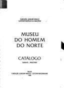


Search results from Open Library.
Recent natural events nearby
Ground air-quality sensors
Recently spotted species
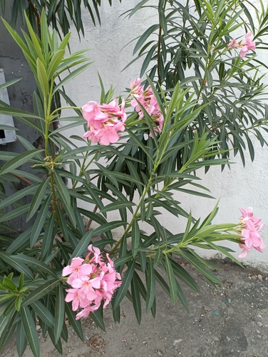
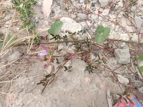
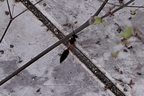
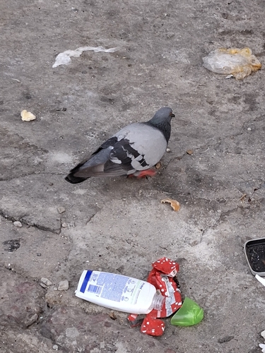
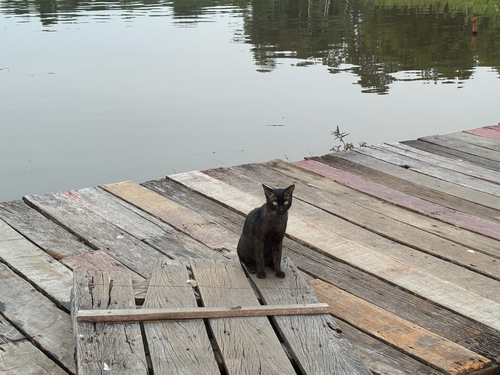
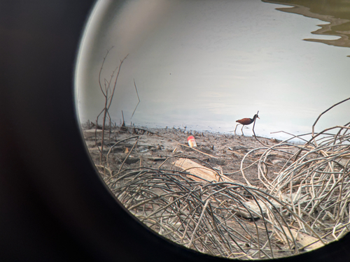
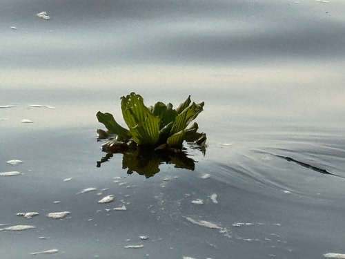
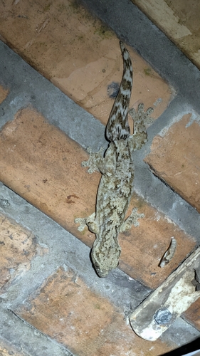
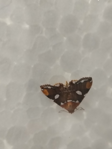
Research-grade observations from iNaturalist (within ~15 mi).
Events
Notable, recurring, and historical events associated with Manaus, sourced from Wikidata.
Source: Wikidata (CC0).
Gallery
Official Identifiers
IBGE — Brazilian Institute of Geography and Statistics
- IBGE code
- 1302603
- UF
- AM
- Mesorregião
- Centro Amazonense
- Microrregião
- Manaus
servicodados.ibge.gov.br
Sources
- • Wikipedia
- • Wikidata
- • iNaturalist
- • Open-Meteo / sunrise-sunset.org
- • Wikipedia Pageviews API
- • Open Library
- • Wikidata SPARQL (CC0) — population, area, elevation, inception, head of government, Commons image
- • IBGE — Brazilian national statistics, via servicodados.ibge.gov.br (official municipal code, UF, mesorregião, microrregião, region)
- • IBGE — Brazilian Institute of Geography and Statistics — servicodados.ibge.gov.br