Browse / Brazil / Bahia / Maragogipe
Maragogipe
Bahiatown

Maragogipe
Total population
35,859
Founded
1557
Air quality index
Demographic figures from IBGE. Overview below cites Wikipedia and may reference a different year.
City facts
Facts from Wikidata (CC0).
Overview
Maragogipe is a municipality in the state of Bahia in the North-East region of Brazil. Maragogipe covers 438.18 km2 (169.18 mi2), and has a population of 44,793 with a population density of 110 inhabitants per square kilometer. Maragogipe is located 130 km (81 mi) from the state capital of Bahia, Salvador. It borders the Paraguaçu River, 20 km (12 mi) upstream from Baía de Todos os Santos. Maragogipe was a major center of sugar cane and tobacco production, and became home to large slave-holding plantations. After the abolition of slavery in Brazil in 1888 the Afro-Brazilian population lived as tenant laborers until recently as "21st century slaves", unable to fish or grow staple crops.
Read more on WikipediaHistory & geography
History
The Amerindian population in the current Maragogipe area were called the Marag-gyp, or warrior of "invincible arms". They lived a semi-nomadic life that included both farming and hunting. They were masters of the bow and arrow and in the use of the tarayra, a heavy ironwood ax used for decapitation. The Portuguese explored the area as early as the 1520s, and invaded the early 16th century. They were attracted by the abundance of timber and easy maritime accessibility of the Paraguacu River and Bay of Iguape. Duarte da Costa (died 1560), the second governor of Brazil, granted his son Álvaro da Costa land on the Paraguaçu River region. The grant dates to January 16, 1557. The land became a captaincy on March 28, 1566. The indigenous population resisted the Portuguese; 200 members of the indigenous settlement were never subjugated. Numerous sugarcane plantation appeared in the region in the 1570s; the Portuguese also extracted timber and grew cassava. They also established sugar and flour mills. The peninsula that extends into the Paraguaçu River and Bay of Iguape, largely surrounded by mangroves, formed a strategic point to protect the Paraguaçu region; for this reason, a settlement was founded, later called Maragogipe. São Bartolomeu, a small parish, was established in the mid-17th century. It was separated from Ajuda de Jaguaripe, now the municipality of Jaugaripe, in 1724. A great drought occurred in the same year. The settlement was located at the mouth of the river where is opens to the Iguape, but moved in the mid-17th century to its current location on higher ground. The town served as one of many ports to facilitate commerce along the Paraguaçu; the settlement was on the busy transportation route between Cachoeira to the northeast and Salvador to the west. A…
Excerpted from the corresponding Wikipedia article (CC BY-SA).
Geography
Coordinates & boundaries from the US Census TIGER/Line shapefiles.
Climate
Air quality
Current readings from Open-Meteo Air Quality API (Copernicus CAMS European reanalysis).
Walkability
Amenities nearby
Wildlife & biodiversity
Most-observed species
- White-cheeked PintailAnas bahamensis Linnaeus, 1758 · Aves21
- Great EgretArdea alba Linnaeus, 1758 · Aves19
- Snowy EgretEgretta thula (Molina, 1782) · Aves18
- Great KiskadeePitangus sulphuratus (Linnaeus, 1766) · Aves18
- Black-necked StiltHimantopus mexicanus (P.L.S.Müller, 1776) · Aves16
- Southern CaracaraCaracara plancus (J.F.Miller, 1777) · Aves11
- Southern LapwingVanellus chilensis (Molina, 1782) · Aves10
- Amazon KingfisherChloroceryle amazona (Latham, 1790) · Aves8
Citizen-science & research observations from the Global Biodiversity Information Facility (GBIF).
Earthquake history
Most recent
- M 4.6 — 2020-08-303 km WSW of Mutuípe, Brazil
Events from the USGS Earthquake Catalog (global) (FDSN Event Web Service).
Photos
Sights & places nearby
Notable people from here


People born within ~10 km, from Wikidata (CC0). Click any name for their Wikipedia article.
Nearby places in Bahia
- São Roque do Paraguaçu7.2 mi away
- Santiago do Iguape7.5 mi away
- Outeiro Redondo10 mi away
- São Félix12.3 mi away · pop. 11,026
- Salinas da Margarida12.6 mi away · pop. 14,987
- Acupe13.9 mi away
- Belém da Cachoeira15.6 mi away
- Maragogipinho19.4 mi away
- Muniz Ferreira20.1 mi away · pop. 7,190
- Baixa do Palmeira20.2 mi away
- Afligidos20.2 mi away
- Mar Grande20.8 mi away
Geography & sun
Elevation, sunrise/sunset and daylight from Open-Meteo. Solar climatology from NASA POWER.
Nearby airports
Public attention
Pageview totals from the Wikimedia Pageviews API.
Books about this place
Recent natural events nearby
Ground air-quality sensors
Recently spotted species
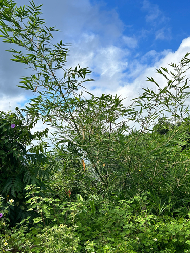
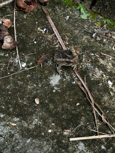
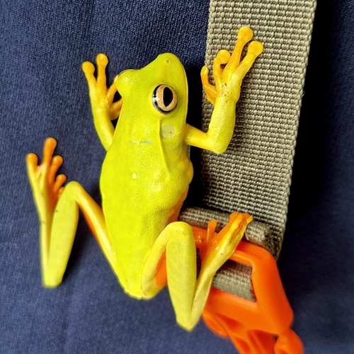
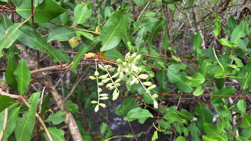
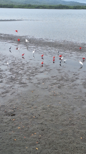
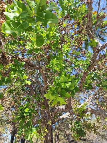
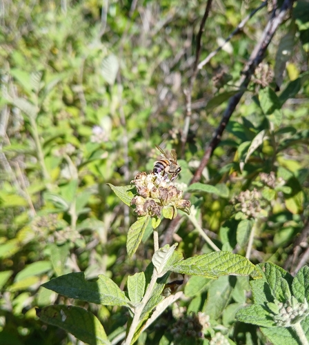
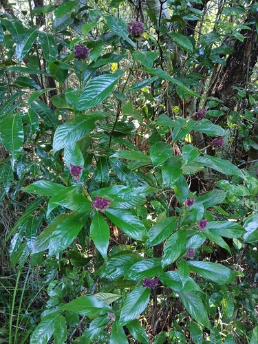
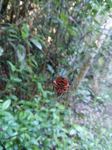
Research-grade observations from iNaturalist (within ~15 mi).
Events
Gallery
Official Identifiers
IBGE — Brazilian Institute of Geography and Statistics
- IBGE code
- 2920601
- UF
- BA
- Mesorregião
- Metropolitana de Salvador
- Microrregião
- Santo Antônio de Jesus
servicodados.ibge.gov.br
Sources
- • Wikipedia
- • Wikidata
- • Open-Meteo Air Quality (CAMS)
- • USGS Earthquake Catalog (global feed)
- • GBIF (Global Biodiversity Information Facility)
- • iNaturalist
- • Open-Meteo / sunrise-sunset.org
- • Wikipedia Pageviews API
- • IBGE — Brazilian national statistics, via servicodados.ibge.gov.br (official municipal code, UF, mesorregião, microrregião, region)
- • IBGE — Brazilian Institute of Geography and Statistics — servicodados.ibge.gov.br