Browse / Brazil / Goiás / Mato Seco
Mato Seco
Goiáshamlet
Air quality index
Demographic figures from IBGE. Overview below cites Wikipedia and may reference a different year.
City facts
Overview
Mato Seco is a hamlet that lies in Goiás, Brazil. The settlement sits at -14.970°, -48.020°, a tropical location in the southern hemisphere. Detailed population figures are not currently catalogued in the open data sources we track. Open solar datasets indicate about 2,012 kWh/m² of solar irradiance per year, combined with sunshine for roughly 79% of daylight hours. Its latitude implies a climate characterised by warm temperatures throughout the year with pronounced wet and dry seasons. The remainder of this page draws on open public data to describe the area's demographics, climate, environment and nearby amenities.
Summary composed automatically from structured open data on this page. See our Terms for details.
History & geography
Geography
Coordinates & boundaries from the US Census TIGER/Line shapefiles.
Climate
Air quality
Current readings from Open-Meteo Air Quality API (Copernicus CAMS European reanalysis).
Walkability
Amenities nearby
Wildlife & biodiversity
Most-observed species
- Phoneutria eickstedtae Martins & Bertani, 2007Phoneutria eickstedtae Martins & Bertani, 2007 · Arachnida2
- Golden Tortoise BeetleCharidotella sexpunctata (Fabricius, 1781) · Insecta1
- Hetaerina rosea Selys, 1853Hetaerina rosea Selys, 1853 · Insecta1
- crab eating foxCerdocyon thous (Linnaeus, 1766) · Mammalia1
- Brazilian bush anolePolychrus acutirostris Spix, 1825 · Squamata1
- Campo FlickerColaptes campestris (Vieillot, 1818) · Aves1
- White-tailed hawkButeo albicaudatus Vieillot, 1816 · Aves1
- King VultureSarcoramphus papa (Linnaeus, 1758) · Aves1
Citizen-science & research observations from the Global Biodiversity Information Facility (GBIF).
Earthquake history
Events from the USGS Earthquake Catalog (global) (FDSN Event Web Service).
Photos
Sights & places nearby
Notable people from here
Nearby places in Goiás
- Mimoso de Goiás11.2 mi away · pop. 2,614
- Bom Sucesso13.4 mi away
- Água Fria de Goiás15.9 mi away · pop. 4,954
- Sucuri21.3 mi away
- Córrego Rico21.8 mi away
- Padre Bernardo22.3 mi away · pop. 34,967
- Trajanópolis25.4 mi away
- Capão da Onça27.2 mi away
- Taboquinha30.7 mi away
- Vãozinho34.7 mi away
- São Gabriel de Goiás34.9 mi away
- Vila Taveira42.6 mi away
Geography & sun
Elevation, sunrise/sunset and daylight from Open-Meteo. Solar climatology from NASA POWER.
Nearby airports
Public attention
Books about this place
Recent natural events nearby
Ground air-quality sensors
Recently spotted species
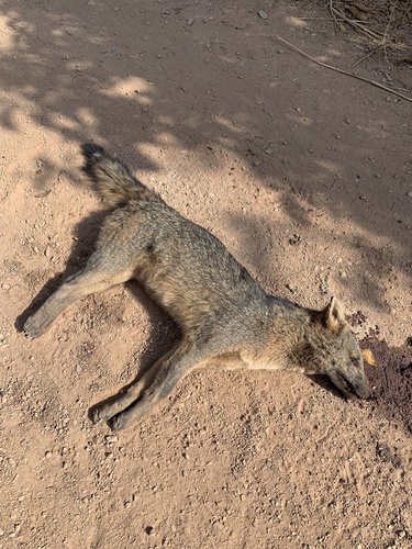
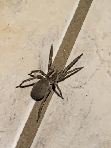
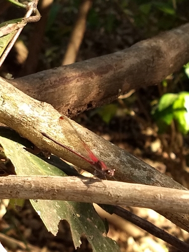
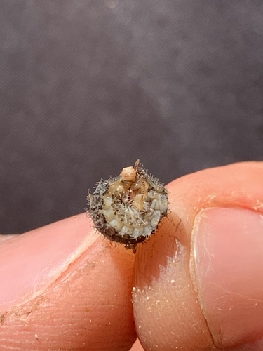
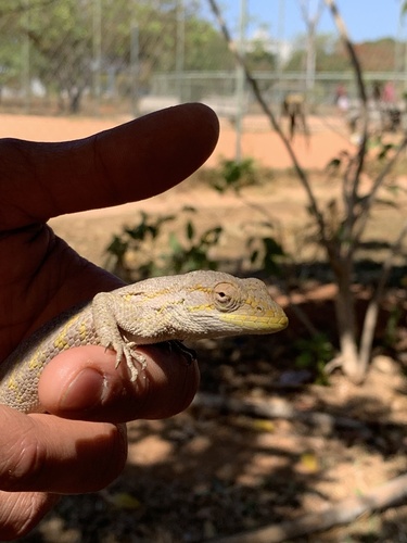


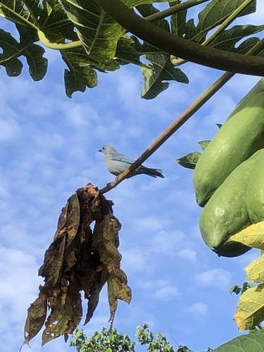
Research-grade observations from iNaturalist (within ~15 mi).
Events
Gallery
Sources
- • Wikidata
- • Open-Meteo Air Quality (CAMS)
- • USGS Earthquake Catalog (global feed)
- • GBIF (Global Biodiversity Information Facility)
- • iNaturalist
- • Open-Meteo / sunrise-sunset.org