Browse / Brazil / Goiás / Mossâmedes
Mossâmedes
Goiásvillage

Mossâmedes
Total population
4,654
Demographic figures from IBGE. Overview below cites Wikipedia and may reference a different year.
City facts
Facts from Wikidata (CC0).
Overview
Mossâmedes is a municipality in western Goiás state, Brazil.
Read more on WikipediaHistory & geography
History
The settlement of Mossâmedes began as a village for the Indian tribes of Naundós, Acroás, and Caiapós in 1755. Its first name was São José de Mossâmedes in honor of the Captain-General Dom José de Almeida Soveral de Carvalho, Governor of the Capitania of Goiás, who was from the village of Mossâmedes in Portugal. From 1770 to 1774 the village went through a complete restructure due to its near disappearance due to the Indians' inability to adapt to life there. Damiana da Cunha, granddaughter of the chief of the Caiapós was instrumental in converting the Indians. In 1780 the village was designated a freguesia with the name of São José de Mossâmedes. In 1781, due to the continuing evasion of the Indians, another group of 800 Javaés and Carajás was brought from the Ilha do Bananal. In 1845 Mossâmedes became a district, belonging to Itaberaí. In 1890 it was a district of Goiás, the territorial capital. Finally in 1938 it was raised to municipal status as Mossâmedes. Source: [https://web.archive.org/web/20070115162332/http://www.seplan.go.gov.br/sepin/ Sepin]
Excerpted from the corresponding Wikipedia article (CC BY-SA).
Geography
Coordinates & boundaries from the US Census TIGER/Line shapefiles.
Climate
Air quality
Walkability
Amenities nearby
Wildlife & biodiversity
Most-observed species
- Picazuro PigeonPatagioenas picazuro (Temminck, 1813) · Aves16
- Blue DacnisDacnis cayana (Linnaeus, 1766) · Aves15
- Red-legged SeriemaCariama cristata (Linnaeus, 1766) · Aves15
- Sayaca TanagerThraupis sayaca (Linnaeus, 1766) · Aves14
- Brown-crested FlycatcherMyiarchus tyrannulus (Statius Muller, 1776) · Aves13
- White-tipped DoveLeptotila verreauxi Bonaparte, 1855 · Aves13
- Planalto Slaty-AntshrikeThamnophilus pelzelni Hellmayr, 1924 · Aves13
- Flavescent WarblerMyiothlypis flaveola S.F.Baird, 1865 · Aves13
Citizen-science & research observations from the Global Biodiversity Information Facility (GBIF).
Earthquake history
Events from the USGS Earthquake Catalog (global) (FDSN Event Web Service).
Photos
Sights & places nearby
Notable people from here

People born within ~10 km, from Wikidata (CC0). Click any name for their Wikipedia article.
Geography & sun
Elevation, sunrise/sunset and daylight from Open-Meteo. Solar climatology from NASA POWER.
Nearby airports
Public attention
Pageview totals from the Wikimedia Pageviews API.
Books about this place
Recent natural events nearby
Ground air-quality sensors
Recently spotted species
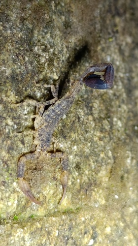
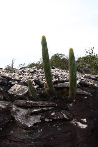
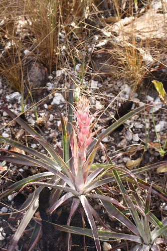
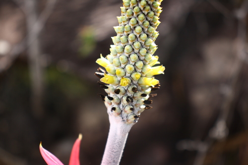
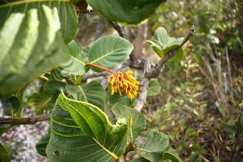
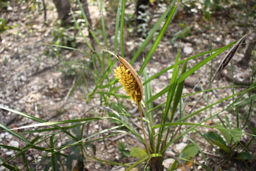
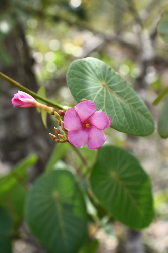
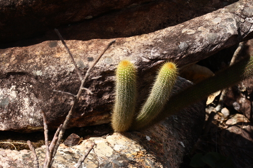
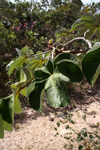
Research-grade observations from iNaturalist (within ~15 mi).
Events
Gallery
Geotagged photos within ~6 miles of Mossâmedes, from Wikimedia Commons contributors.


Photos via Wikimedia Commons — see each image page for license & attribution.
Official Identifiers
IBGE — Brazilian Institute of Geography and Statistics
- IBGE code
- 5213905
- UF
- GO
- Mesorregião
- Centro Goiano
- Microrregião
- Anicuns
servicodados.ibge.gov.br
Sources
- • Wikipedia
- • Wikimedia Commons
- • Wikidata
- • USGS Earthquake Catalog (global feed)
- • GBIF (Global Biodiversity Information Facility)
- • iNaturalist
- • Open-Meteo / sunrise-sunset.org
- • Wikipedia Pageviews API
- • IBGE — Brazilian national statistics, via servicodados.ibge.gov.br (official municipal code, UF, mesorregião, microrregião, region)
- • IBGE — Brazilian Institute of Geography and Statistics — servicodados.ibge.gov.br