Browse / Brazil / Rio de Janeiro / Niterói
Niterói
Rio de Janeirocity

Niterói
Total population
481,749
Founded
1573
Demographic figures from IBGE. Overview below cites Wikipedia and may reference a different year.
City facts
Sister cities
Facts from Wikidata (CC0).
Overview
Niterói is a municipality in the state of Rio de Janeiro, in the southeast region of Brazil. It lies across Guanabara Bay, facing the city of Rio de Janeiro and forming part of the Rio de Janeiro Metropolitan Area. It was the capital of Rio de Janeiro, as marked by its golden mural crown, from 1834 to 1894 and again from 1903 to 1975. It has an estimated population of 515,317 inhabitants (2020) and an area of 129.375 km2 (49.952 sq mi), making it the fifth most populous city in the state. It has the highest Human Development Index in the state and the seventh highest among Brazil's municipalities in 2010. Individually, it is the municipality with the second highest average monthly household income per capita in Brazil and appears in 13th place among the municipalities of the country according to social indicators related to education. The city has the nicknames of Cidade Sorriso.
Read more on WikipediaHistory & geography
History
In the year 1555, French navigator Nicolas Durand de Villegaignon allied himself with the Tupinambas Indians who dominated the Guanabara Bay and instituted a French colony in the region, France Antarctique. The region was avoided by the Portuguese because of the hostility of the Tupinamba. The region developed under the command of Villegaignon, who planned to build a city in the region. After a while, Calvinists who had emigrated from France to the colony returned to France, where they accused Villegaignon of prejudice against Protestants and of maladministration. The French navigator had to return to France to explain himself. Following the absence of the French leader, the Portuguese crown began noticing that the bay of Rio de Janeiro would make a strategic scale for the Atlantic route of ships from Portugal to its colonies in Africa and Asia, as well an important advanced bridgehead for the defense of South Brazil. Fortresses were built and an alliance was formed with nearby native Tupi-Guaraní tribes to defend the settlement against other European invaders. Then, in 1560, the Portuguese leader Mem de Sá attacked and destroyed the French fort that was located in Guanabara Bay, Coligny Fort, without, however, being able to definitively expel the French from the region. Estácio de Sá, Mem de Sá's nephew, who would continue to command the war, enlisted the help of the head of the Temiminos Indians, Arariboia, who accepted the governor's request to help the Portuguese expel the French from the Guanabara Bay, in the hope to regain the mother island. With the end of the war in 1567, Estácio de Sá invoked Arariboia and the Temininós Indians to occupy the right side of the entrance to the Guanabara Bay, opposite the city of São Sebastião do Rio de Janeiro founded by…
Geography
Niterói has an area of 129,375 square kilometers located between the Guanabara Bay (west), the Atlantic Ocean (south), Maricá (east) and São Gonçalo (north). There are a number of beaches in the area, including Praia de Fora and Praia do Imbuí, with their historical values; Piratininga Beach, Camboinhas Beach, Itaipu Beach and Itacoatiara Beach, the most visited; Praia do Sossego, Praia Adam and Eve and Prainha. It has two saltwater lagoons: Piratininga and Itaipu. The first is linked to the second by means of the Camboatá Canal, opened by the National Department of Sanitation Works in 1946. The Itaipu Lagoon, in turn, connects to the sea through the Itaipu Canal, which was built in 1979. The relief consists of crystalline terrains, divided into massifs and coastal hills. The massifs predominate in the south and form the mountains of Malheiro, Calaboca and Tiririca, where is the Stone of the Elephant, the highest point of the municipality, 412m high. The coastal plains are composed of sediments, obviously located near the sea. The most extensive area covers the entire area of Piratininga and Itaipu lagoons. Niterói has a tropical climate, specifically a tropical monsoon climate, with warm to hot temperatures year round as well as relatively frequent rainfall.
Excerpted from the corresponding Wikipedia article (CC BY-SA).
Geography
Coordinates & boundaries from the US Census TIGER/Line shapefiles.
Climate
Air quality
Walkability
Amenities nearby
Wildlife & biodiversity
Most-observed species
- Great KiskadeePitangus sulphuratus (Linnaeus, 1766) · Aves12,055
- Palm TanagerThraupis palmarum (Wied-Neuwied, 1821) · Aves9,913
- Black VultureCoragyps atratus (Bechstein, 1793) · Aves9,630
- BananaquitCoereba flaveola (Linnaeus, 1758) · Aves9,501
- Southern House WrenTroglodytes musculus J.F.Naumann, 1823 · Aves8,696
- Magnificent FrigatebirdFregata magnificens Mathews, 1914 · Aves8,373
- Rock PigeonColumba livia J.F.Gmelin, 1789 · Aves7,696
- Tropical KingbirdTyrannus melancholicus Vieillot, 1819 · Aves7,302
Citizen-science & research observations from the Global Biodiversity Information Facility (GBIF).
Earthquake history
Events from the USGS Earthquake Catalog (global) (FDSN Event Web Service).
Photos
Sights & places nearby
Notable people from here


People born within ~10 km, from Wikidata (CC0). Click any name for their Wikipedia article.
Nearby places in Rio de Janeiro
Geography & sun
Elevation, sunrise/sunset and daylight from Open-Meteo. Solar climatology from NASA POWER.
Nearby airports
Public attention
Pageview totals from the Wikimedia Pageviews API.
Books about Niterói
Search results from Open Library.
Recent natural events nearby
Ground air-quality sensors
Recently spotted species
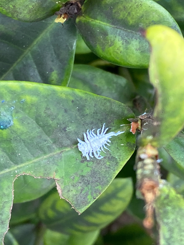
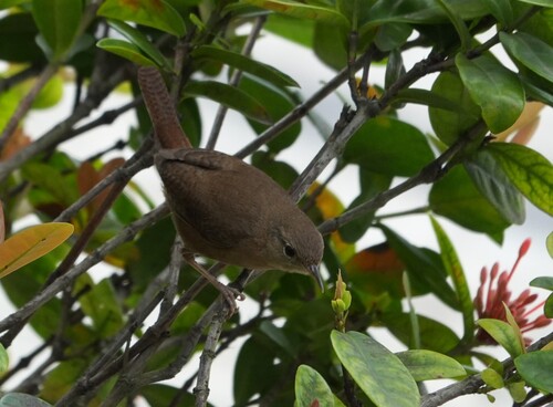
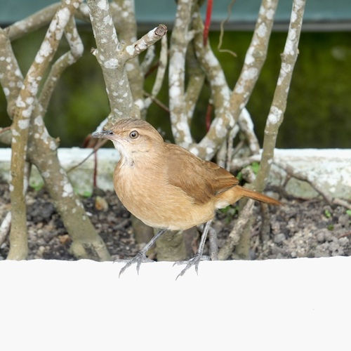
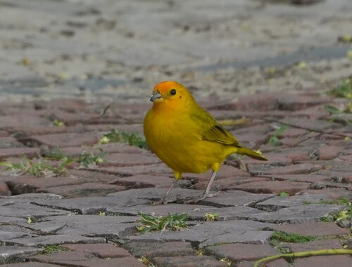
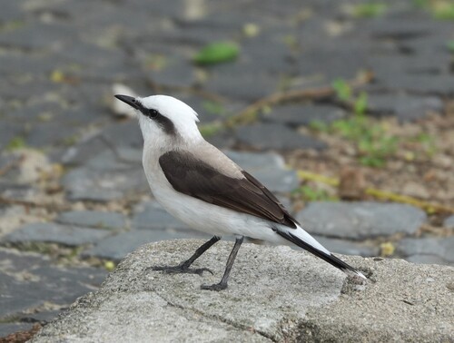
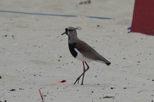
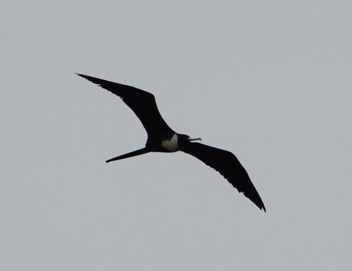
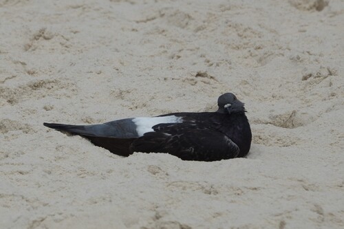
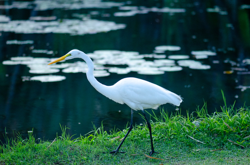
Research-grade observations from iNaturalist (within ~15 mi).
Events
Gallery
Official Identifiers
IBGE — Brazilian Institute of Geography and Statistics
- IBGE code
- 3303302
- UF
- RJ
- Mesorregião
- Metropolitana do Rio de Janeiro
- Microrregião
- Rio de Janeiro
servicodados.ibge.gov.br
Sources
- • Wikipedia
- • Wikidata
- • USGS Earthquake Catalog (global feed)
- • GBIF (Global Biodiversity Information Facility)
- • iNaturalist
- • Open-Meteo / sunrise-sunset.org
- • Wikipedia Pageviews API
- • Open Library
- • Wikidata SPARQL (CC0) — population, area, elevation, inception, head of government, Commons image
- • IBGE — Brazilian national statistics, via servicodados.ibge.gov.br (official municipal code, UF, mesorregião, microrregião, region)
- • IBGE — Brazilian Institute of Geography and Statistics — servicodados.ibge.gov.br