Browse / Brazil / São Paulo / Osasco
Osasco
São Paulocity

Osasco
Total population
728,615
Founded
1962
Demographic figures from IBGE. Overview below cites Wikipedia and may reference a different year.
City facts
Facts from Wikidata (CC0).
Overview
Osasco is a municipality in the state of São Paulo in Brazil, located in the Greater São Paulo area and ranking fifth in population among São Paulo municipalities. According to the IBGE 2015, Osasco currently has the ninth highest gross domestic product in Brazil, and the second largest in the state of São Paulo. The population is 699,944 in an area of 64.95 km2 (25.08 sq mi). It is among the world's more densely populated cities, similar in density to Tokyo and New York City. It is considered the major urban centre of the western portion of Greater São Paulo. It was a district of the city of São Paulo until February 19, 1962, when Osasco became a municipality of its own. The city motto is Urbs labor, a Latin phrase that means "City work."
Read more on WikipediaHistory & geography
History
The region that is now Osasco was inhabited by indigenous Tupi-Guaraní people. Bandeirantes lived in the region that is now Osasco, then called "Vila de Quitaúna". The famous "bandeirante" António Raposo Tavares lived there. Osasco was founded in the 19th century by Italian immigrant Antônio Giuseppe Agù (currently the name of one of the main streets in Osasco). He came from commune Osasco in the province of Turin, Italy. Immigrants from Italy, Spain, Portugal, Germany, Armenia, Lebanon, Russia, Palestine and Japan came to Osasco during the late 19th Century and early 20th Century, and their descendants form the bulk of Osasco's population. Osasco became autonomous from the city of São Paulo on February 19, 1962. In 1968, the Cobrasma factory went on strike.
Geography
Osasco has an average elevation of and an area of . Its borders São Paulo to the north, east, and south, Cotia to the southwest, Carapicuíba and Barueri to the west, and Santana de Parnaíba to the northwest. As in almost all the metropolitan area of São Paulo, the climate is subtropical, specifically humid subtropical. The average annual temperature is around . The month of July the coldest, with an average temperature of , and February is the warmest, averaging . The annual rainfall is around . *Baronesa Stream *Bussocaba Stream *Divisa Stream *Continental Stream *Areia Stream *Chico Mendes Lake *Três Montanhas Lake *João Alves Ribeira *Red Ribeira *Tietê River
Excerpted from the corresponding Wikipedia article (CC BY-SA).
Geography
Coordinates & boundaries from the US Census TIGER/Line shapefiles.
Climate
Air quality
Walkability
Amenities nearby
Wildlife & biodiversity
Earthquake history
Photos
Sights & places nearby
Notable people from here


People born within ~10 km, from Wikidata (CC0). Click any name for their Wikipedia article.
Nearby places in São Paulo
- Embu das Artes9 mi away · pop. 250,691
- Cajamar13.3 mi away · pop. 92,689
- São João Novo15.7 mi away
- Mailasqui18.9 mi away
- Embu-Guaçu20.7 mi away · pop. 66,970
- Várzea Paulista22.3 mi away · pop. 115,771
- Cipó-Guaçu23.8 mi away
- Canguera24.1 mi away
- São Lourenço da Serra24.2 mi away · pop. 16,067
- Paiol do Meio27 mi away
- Alumínio29.5 mi away · pop. 17,301
- Bairro das Palmeiras30.9 mi away
Geography & sun
Elevation, sunrise/sunset and daylight from Open-Meteo. Solar climatology from NASA POWER.
Nearby airports
Public attention
Pageview totals from the Wikimedia Pageviews API.
Books about Osasco
Search results from Open Library.
Recent natural events nearby
Ground air-quality sensors
Recently spotted species
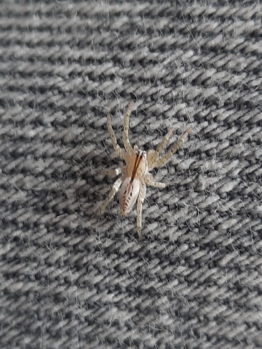
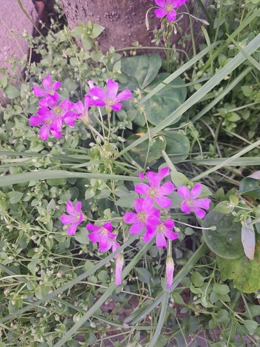
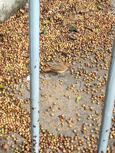
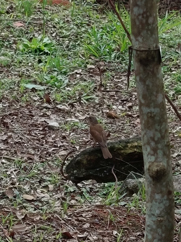
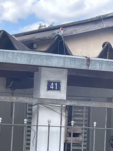
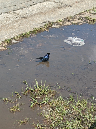
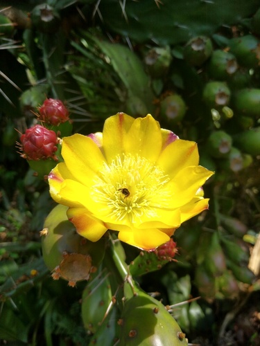
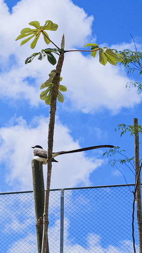
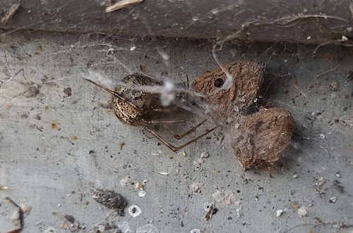
Research-grade observations from iNaturalist (within ~15 mi).
Events
Notable, recurring, and historical events associated with Osasco, sourced from Wikidata.
- Q132858918planned event
Source: Wikidata (CC0).
Gallery
Official Identifiers
IBGE — Brazilian Institute of Geography and Statistics
- IBGE code
- 3534401
- UF
- SP
- Mesorregião
- Metropolitana de São Paulo
- Microrregião
- Osasco
servicodados.ibge.gov.br
Sources
- • Wikipedia
- • Wikidata
- • iNaturalist
- • Open-Meteo / sunrise-sunset.org
- • Wikipedia Pageviews API
- • Open Library
- • Wikidata SPARQL (CC0) — population, area, elevation, inception, head of government, Commons image
- • IBGE — Brazilian national statistics, via servicodados.ibge.gov.br (official municipal code, UF, mesorregião, microrregião, region)
- • IBGE — Brazilian Institute of Geography and Statistics — servicodados.ibge.gov.br