Browse / Brazil / Piauí / Parnaíba
Parnaíba
Piauícity

Parnaíba
Total population
162,159
Founded
1844
Demographic figures from IBGE. Overview below cites Wikipedia and may reference a different year.
City facts
Facts from Wikidata (CC0).
Overview
Parnaíba is a city in the Brazilian state of Piauí. Having a population of over 170,491 inhabitants according to IBGE's 2025 estimates, it is the second most populous city in the state, after the capital Teresina. It is one of the four coastal municipalities in Piauí, all of which make up the city's metropolitan area.
Read more on WikipediaHistory & geography
History
In 1699, the region between the Igaraçu river and the Serra da Ibiapaba, inhabited by indigenous people, was pioneered by Leonardo de Sá and his companions, who obtained a land grant on the banks of that river. Under the name of Parnaíba, toponym that arose, according to some, from the desire of the first explorers of Piauí to pay homage to the then São Paulo district of Parnaíba, and, according to others, from the Tupi word that means 'great unnavigable river'. From 1761 onwards its development began. At that time, there was a charqueada owned by Domingos Dias da Silva, Portuguese founder of Porto das Barcas and pioneer in the region, mainly in the commercial and agricultural sectors. The governor of the province, colonel João Pereira Caldas, was installed in the municipality in 1762, which has a name of São João da Parnaíba.
Geography
Parnaíba is located at Parnaíba River basin and is cut by that which divides into several arms forming the famous Delta of the only offshore of the Americas and the third largest in the world, second only to the Nile in Egypt and Mekong in Southeast Asia. One of these arms is the "river" Igaraçu where the port is located from barcase. Most of the city is on the right bank of the Igaraçu since the rest is in Big Island of Santa Isabel, now in Parnaíba River delta. The only beach of the city is the Pedra do Sal, ideal for surfing, kite surfing and wind surfing. Another source is the city Portinho Lagoon, one of the most famous tourist attractions, that due to the advance of the dunes may disappear. The city is located on land Cenozoic Quaternary and has altitude of about 5 meters in areas of the urban center which is away from the coast. It lies on the coastal plain and the topography is fairly regular. Mangrove vegetation and scrub predominates in the creeks and on river banks, coca crops in the rest of the territory. Megathermal semi-humid tropical climate predominates in the region, with high rate of rainfall due to the mass action Equatorial Atlantic during the months from January to June. The municipality contains part of the Delta do Parnaíba Environmental Protection Area, created in 1996.
Excerpted from the corresponding Wikipedia article (CC BY-SA).
Geography
Coordinates & boundaries from the US Census TIGER/Line shapefiles.
Climate
Air quality
Walkability
Amenities nearby
Wildlife & biodiversity
Earthquake history
Photos
Sights & places nearby
Notable people from here
Nearby places in Piauí
- Tatus6.6 mi away
- Pedra do Sal8 mi away
- Baixa de Carnaúba9.7 mi away
- Bezerro Morto14.6 mi away
- Agrovila Cotia18.8 mi away · pop. 188
- Mixeriqueira19.4 mi away
- Barra do Longá19.8 mi away · pop. 1,671
- Bom Princípio do Piauí20.9 mi away · pop. 5,636
- Carapeba21.2 mi away
- Agrovila Canto da Cruz22 mi away · pop. 147
- Coroa de Baixo23.7 mi away · pop. 136
- Morro Vermelho24.9 mi away · pop. 261
Geography & sun
Elevation, sunrise/sunset and daylight from Open-Meteo. Solar climatology from NASA POWER.
Nearby airports
Public attention
Pageview totals from the Wikimedia Pageviews API.
Books about Parnaíba
Search results from Open Library.
Recent natural events nearby
Ground air-quality sensors
Recently spotted species
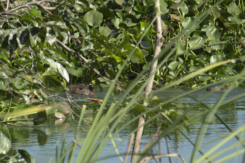
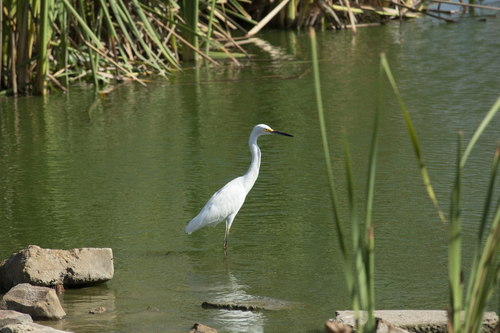
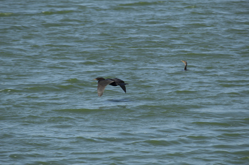
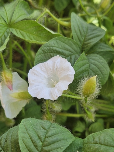
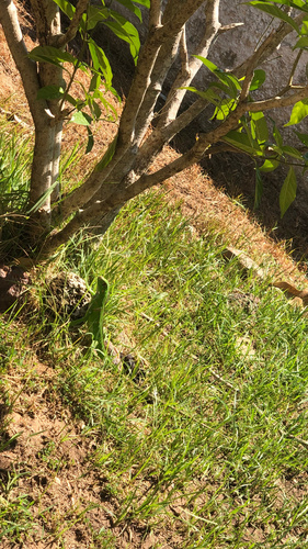
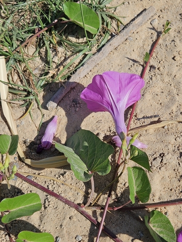
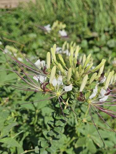
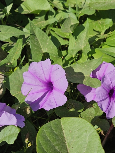
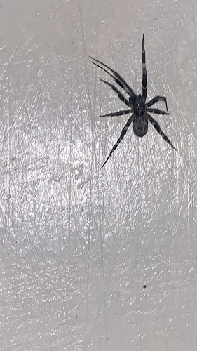
Research-grade observations from iNaturalist (within ~15 mi).
Events
Gallery
Official Identifiers
IBGE — Brazilian Institute of Geography and Statistics
- IBGE code
- 2207702
- UF
- PI
- Mesorregião
- Norte Piauiense
- Microrregião
- Litoral Piauiense
servicodados.ibge.gov.br
Sources
- • Wikipedia
- • Wikidata
- • iNaturalist
- • Open-Meteo / sunrise-sunset.org
- • Wikipedia Pageviews API
- • Open Library
- • Wikidata SPARQL (CC0) — population, area, elevation, inception, head of government, Commons image
- • IBGE — Brazilian national statistics, via servicodados.ibge.gov.br (official municipal code, UF, mesorregião, microrregião, region)
- • IBGE — Brazilian Institute of Geography and Statistics — servicodados.ibge.gov.br