Browse / Brazil / Bahia / Pau Ferro
Pau Ferro
Bahiavillage
Air quality index
Demographic figures from IBGE. Overview below cites Wikipedia and may reference a different year.
City facts
Overview
Within Bahia, Brazil, Pau Ferro stands as a village. Detailed population figures are not currently catalogued in the open data sources we track. Located at -12.135°, -41.611°, Pau Ferro occupies a tropical portion of the southern hemisphere. Climatically, locations at this latitude tend to experience warm temperatures throughout the year with pronounced wet and dry seasons. Long-term weather observations show average highs near 82.5°F and lows near 64.9°F with about 24.7 in of annual precipitation (a relatively dry total). Open solar datasets indicate about 1,973 kWh/m² of solar irradiance per year, combined with sunshine for roughly 77% of daylight hours. Additional figures on demographics, climate, geography and points of interest appear in the sections that follow, all drawn from open public datasets.
Summary composed automatically from structured open data on this page. See our Terms for details.
History & geography
Geography
Coordinates & boundaries from the US Census TIGER/Line shapefiles.
Climate
10-year averages from ERA5 reanalysis (Open-Meteo).
Air quality
Current readings from Open-Meteo Air Quality API (Copernicus CAMS European reanalysis).
Walkability
Amenities nearby
Wildlife & biodiversity
Most-observed species
- Emperor's CandlesticksSenna alata (L.) Roxb. · Magnoliopsida2
- western honey beeApis mellifera Linnaeus, 1758 · Insecta1
- White Angled-SulphurAnteos clorinde (Godart, 1824) · Insecta1
- Peucetia flava Keyserling, 1877Peucetia flava Keyserling, 1877 · Arachnida1
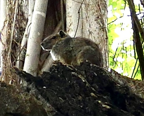
- rock cavyKerodon rupestris (Wied-Neuwied, 1820) · Mammalia1
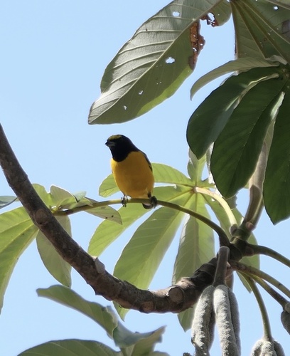
- Purple-throated EuphoniaEuphonia chlorotica (Linnaeus, 1766) · Aves1
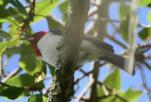
- Red-cowled CardinalParoaria dominicana (Linnaeus, 1758) · Aves1
- Horse/wild tamarind, Jumbie bean, Lead tree, LeucaenaLeucaena leucocephala (Lam.) de Wit · Magnoliopsida1
Citizen-science & research observations from the Global Biodiversity Information Facility (GBIF).
Earthquake history
Events from the USGS Earthquake Catalog (global) (FDSN Event Web Service).
Photos
Sights & places nearby
Notable people from here
Nearby places in Bahia
- Várzea do Cerco11.8 mi away · pop. 958
- Mulungu do Morro11.9 mi away · pop. 13,152
- Lagoa da Boa Vista16 mi away
- Afrânio Peixoto16.8 mi away
- Seabra22.3 mi away · pop. 46,160
- Lagoa do Agostinho25.4 mi away
- Bonito26.1 mi away · pop. 15,844
- Antari27.9 mi away
- Queimada do Rufino29.1 mi away
- Araçuan30.6 mi away
- Riacho32.7 mi away
- Feira Nova34.3 mi away · pop. 654
Geography & sun
Elevation, sunrise/sunset and daylight from Open-Meteo. Solar climatology from NASA POWER.
Nearby airports
Public attention
Books about Pau Ferro
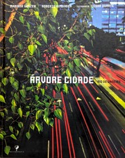

Search results from Open Library.
Recent natural events nearby
Ground air-quality sensors
Recently spotted species
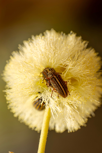
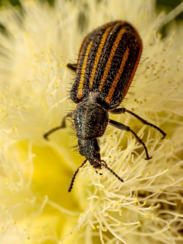
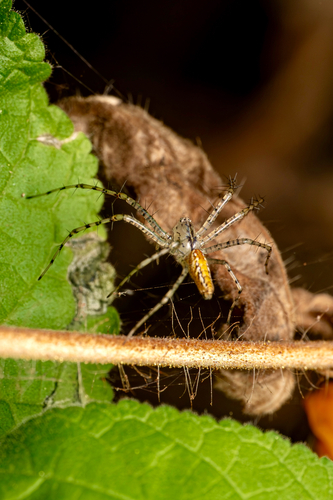
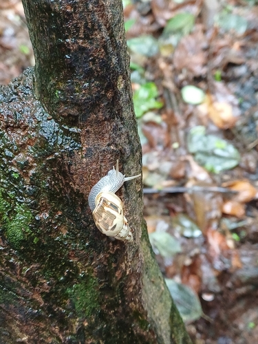
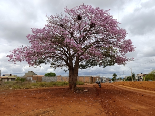
Research-grade observations from iNaturalist (within ~15 mi).
Events
Gallery
Geotagged photos within ~6 miles of Pau Ferro, from Wikimedia Commons contributors.
.jpg)

Photos via Wikimedia Commons — see each image page for license & attribution.
Sources
- • Open-Meteo (ERA5 reanalysis)
- • Wikimedia Commons
- • Open-Meteo Air Quality (CAMS)
- • USGS Earthquake Catalog (global feed)
- • GBIF (Global Biodiversity Information Facility)
- • iNaturalist
- • Open-Meteo / sunrise-sunset.org
- • Open Library