Browse / Brazil / Rio Grande do Sul / Pelotas
Pelotas
Rio Grande do Sulcity

Pelotas
Total population
325,685
Founded
1812
Air quality index
Demographic figures from IBGE. Overview below cites Wikipedia and may reference a different year.
City facts
Sister cities
Facts from Wikidata (CC0).
Overview
Pelotas is a Brazilian city and municipality (município), the fourth most populous in the southern state of Rio Grande do Sul, after Porto Alegre, Caxias do Sul and Canoas. It is located 270 km (168 mi) from Porto Alegre, the state's capital city, and 130 km (80.8 mi) from the Uruguayan border. The Lagoa dos Patos lies to the east and the São Gonçalo Channel lies to the south, separating Pelotas from the municipality of Rio Grande.
Read more on WikipediaHistory & geography
History
The history of the city begins in June 1758, through a donation that Gomes Freire de Andrade, Count of Bobadela, made to Colonel Thomáz Luiz Osório, giving him land that lay on the banks of the Lagoa dos Patos. In 1763, fleeing the Spanish invasion, many inhabitants of the village Rio Grande sought refuge in the land belonging to Osório. Later, there also came refugees from Colônia do Sacramento, which had been handed over by the Portuguese to the Spanish in 1777. In 1780, the Portuguese rancher José Pinto Martins established himself in Pelotas, with the prosperity of his establishment stimulating the creation of other ranches and growth in the region, creating a population that would define the early city. The Civil Parish of São Francisco de Paula, founded on 7 June 1812, by Father Pedro Pereira de Mesquita, was elevated to the category of town on 7 April 1832. Three years later, in 1835, the town was declared a city, bearing the name Pelotas. In southern Brazil, 'pelota' can refer to a leather raft, and the name of the city comes from the boats made of cockspur coral tree covered with animal skins, used to cross rivers in ranching times. In 1990, the Urban Conurbation of Pelotas was created as a result of a state law. In 2001, it became the Urban Conurbation of Pelotas and Rio Grande, and in 2002 the Urban Conurbation of the South. The goal is to integrate the participating towns and is the embryo of a future metropolitan region including the towns os Arroio do Padre, Capão do Leão, Pelotas, Rio Grande and São José do Norte, which have a total population of around 600,000 inhabitants.
Geography
As it is situated on a plain near the ocean, the urban area lies on a low elevation, being, on average, 7 meters (23 ft) above sea level. The interior of the municipality is on a plateau called Serras de Sudeste (Southeastern Mountain Ranges). Consequently, the altitude in Pelotas' rural area reaches 429 meters (1,407.4 ft) in the Quilombo district. The city stretches to the Laranjal, a bairro on the coast of the Lagoa dos Patos. Beyond the coastal regions Santo Antônio and Valverde, the area also has an even more remote area, the Balneário dos Prazeres (popularly known as Barro Duro, lit. "hard mud"), and Colônia Z-3, a fishing village that primarily explores the art of shrimping. The climate is humid subtropical (Köppen: Cfa), a type found in Southeastern Australia (very homogeneous to Sydney, in terms of average temperatures, albeit cloudier and wetter), without major temperature deviations as found in other cities at the same latitude, elevation and near some ocean, like Brunswick and Savannah, Georgia (USA), and in Shanghai, China (but still considered very high by Brazilian standards), due to the continentality and polar vortex position in those southern cities of the United States and the Chinese city. Summers are warm to hot with regular rainfall. Winters are cool with episodic frosts (about 24 per year) and fog, with no noticeable difference in the amount of monthly rainfall. The hottest month is January, with an average temperature of 23 °C (73.4 °F), and the coldest month is July, with an average temperature of 12 °C (53.6 °F). The wettest month is February, with 145 mm (5.7 in) of precipitation. The average annual temperature in the city is 17.5 °C (63.5 °F) and the average annual precipitation is…
Excerpted from the corresponding Wikipedia article (CC BY-SA).
Geography
Coordinates & boundaries from the US Census TIGER/Line shapefiles.
Climate
Air quality
Current readings from Open-Meteo Air Quality API (Copernicus CAMS European reanalysis).
Walkability
Amenities nearby
Wildlife & biodiversity
Most-observed species
- Rufous HorneroFurnarius rufus (Gmelin, 1788) · Aves1,213
- Great KiskadeePitangus sulphuratus (Linnaeus, 1766) · Aves1,182
- Southern LapwingVanellus chilensis (Molina, 1782) · Aves1,050
- Monk ParakeetMyiopsitta monachus (Boddaert, 1783) · Aves944
- Eared DoveZenaida auriculata (Des Murs, 1847) · Aves922
- Bare-faced IbisPhimosus infuscatus (Lichtenstein, 1823) · Aves722
- Southern House-WrenTroglodytes musculus J.F.Naumann, 1823 · Aves717
- House SparrowPasser domesticus (Linnaeus, 1758) · Aves697
Citizen-science & research observations from the Global Biodiversity Information Facility (GBIF).
Earthquake history
Events from the USGS Earthquake Catalog (global) (FDSN Event Web Service).
Photos
Sights & places nearby
Notable people from here


People born within ~10 km, from Wikidata (CC0). Click any name for their Wikipedia article.
Nearby places in Rio Grande do Sul
- Capão do Leão9.4 mi away · pop. 26,487
- Monte Bonito11.1 mi away
- Povo Novo11.8 mi away
- Colônia Z311.9 mi away
- Morro Redondo20.8 mi away · pop. 6,046
- Ilha dos Marinheiros20.8 mi away
- Quinta21.6 mi away
- Passo das Pedras23 mi away
- Santa Silvana23.2 mi away
- São José do Norte24.4 mi away · pop. 25,443
- Rincão da Cruz26.5 mi away
- Cerrito28.4 mi away · pop. 5,808
Geography & sun
Elevation, sunrise/sunset and daylight from Open-Meteo. Solar climatology from NASA POWER.
Nearby airports
Public attention
Pageview totals from the Wikimedia Pageviews API.
Books about Pelotas
Search results from Open Library.
Recent natural events nearby
Ground air-quality sensors
Recently spotted species
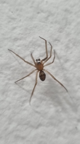
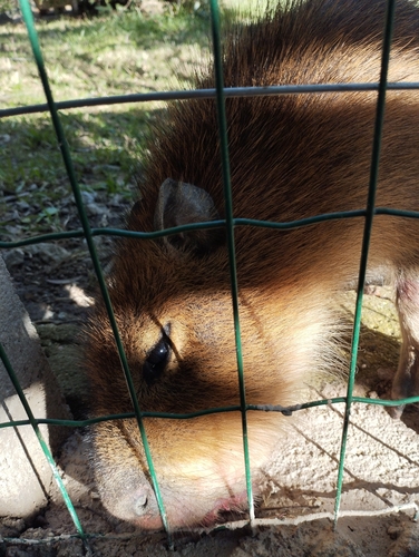
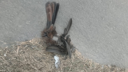
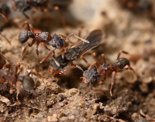
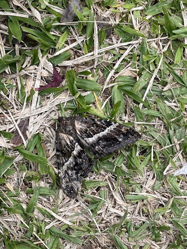
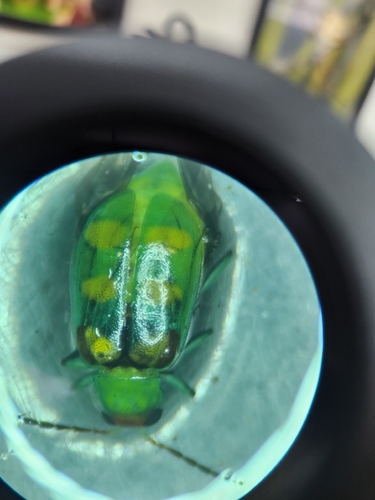
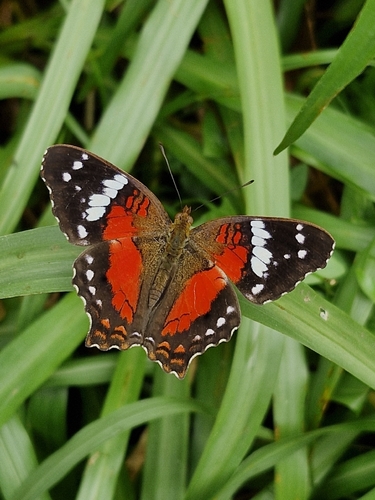
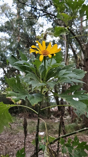
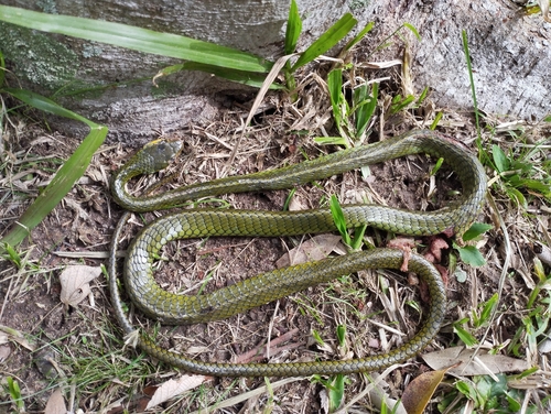
Research-grade observations from iNaturalist (within ~15 mi).
Events
Gallery
Geotagged photos within ~6 miles of Pelotas, from Wikimedia Commons contributors.
.jpg) 0 mi
0 mi.jpg) 0 mi
0 mi.jpg) 0 mi
0 mi.jpg) 0 mi
0 mi.jpg) 0 mi
0 mi.jpg) 0 mi
0 mi.jpg) 0 mi
0 mi 0 mi
0 mi.jpg) 0 mi
0 mi.jpg) 0 mi
0 mi 0.1 mi
.jpg) 0.1 mi
0.1 mi.jpg) 0.1 mi
0.1 mi.jpg) 0.1 mi
0.1 mi.jpg) 0.1 mi
0.1 mi.jpg) 0.1 mi
0.1 mi.jpg) 0.1 mi
0.1 mi.jpg) 0.1 mi
0.1 mi.jpg) 0.1 mi
0.1 mi.jpg) 0.1 mi
0.1 mi.jpg) 0.1 mi
0.1 mi.jpg) 0.1 mi
0.1 mi.jpg) 0.1 mi
0.1 mi.jpg) 0.1 mi
0.1 miPhotos via Wikimedia Commons — see each image page for license & attribution.
Official Identifiers
IBGE — Brazilian Institute of Geography and Statistics
- IBGE code
- 4314407
- UF
- RS
- Mesorregião
- Sudeste Rio-grandense
- Microrregião
- Pelotas
servicodados.ibge.gov.br
Sources
- • Wikipedia
- • Wikimedia Commons
- • Wikidata
- • Open-Meteo Air Quality (CAMS)
- • USGS Earthquake Catalog (global feed)
- • GBIF (Global Biodiversity Information Facility)
- • iNaturalist
- • Open-Meteo / sunrise-sunset.org
- • Wikipedia Pageviews API
- • Open Library
- • Wikidata SPARQL (CC0) — population, area, elevation, inception, head of government, Commons image
- • IBGE — Brazilian national statistics, via servicodados.ibge.gov.br (official municipal code, UF, mesorregião, microrregião, region)
- • IBGE — Brazilian Institute of Geography and Statistics — servicodados.ibge.gov.br