Browse / Brazil / Minas Gerais / Pic Sagarana
Pic Sagarana
Minas Geraishamlet
Air quality index
Demographic figures from IBGE. Overview below cites Wikipedia and may reference a different year.
City facts
Overview
Within Minas Gerais, Brazil, Pic Sagarana stands as a hamlet. On the world map it falls within the Western Hemisphere, specifically at -16.165°, -46.179°. Detailed population figures are not currently catalogued in the open data sources we track. Its latitude implies a climate characterised by warm temperatures throughout the year with pronounced wet and dry seasons. The remainder of this page draws on open public data to describe the area's demographics, climate, environment and nearby amenities.
Summary composed automatically from structured open data on this page. See our Terms for details.
History & geography
Geography
Coordinates & boundaries from the US Census TIGER/Line shapefiles.
Climate
Air quality
Current readings from Open-Meteo Air Quality API (Copernicus CAMS European reanalysis).
Walkability
Amenities nearby
Wildlife & biodiversity
Most-observed species
- Sayaca TanagerThraupis sayaca (Linnaeus, 1766) · Aves20
- Scaled DoveColumbina squammata (R.Lesson, 1831) · Aves16
- Red-legged SeriemaCariama cristata (Linnaeus, 1766) · Aves16
- Rufous HorneroFurnarius rufus (Gmelin, 1788) · Aves15
- White-tipped DoveLeptotila verreauxi Bonaparte, 1855 · Aves15
- Yellow-chevroned ParakeetBrotogeris chiriri (Vieillot, 1818) · Aves13
- Buff-necked IbisTheristicus caudatus (Boddaert, 1783) · Aves13
- Great KiskadeePitangus sulphuratus (Linnaeus, 1766) · Aves13
Citizen-science & research observations from the Global Biodiversity Information Facility (GBIF).
Earthquake history
Events from the USGS Earthquake Catalog (global) (FDSN Event Web Service).
Photos
Sights & places nearby
Notable people from here
Nearby places in Minas Gerais
- Uruana de Minas8.7 mi away · pop. 3,282
- Garapuava25.6 mi away
- Urucuia29.3 mi away · pop. 17,479
- Bonfinópolis de Minas30.5 mi away · pop. 5,528
- Natalândia31.4 mi away · pop. 3,520
- Dom Bosco34.1 mi away · pop. 3,697
- Pintópolis68.9 mi away · pop. 7,084
- Serra das Araras69.2 mi away
- Caatinga70.6 mi away
- Palmital de Minas74 mi away
- Ribanceiras74.3 mi away
- São Romão75 mi away · pop. 10,315
Geography & sun
Nearby airports
Public attention
Books about this place
Recent natural events nearby
Ground air-quality sensors
Recently spotted species
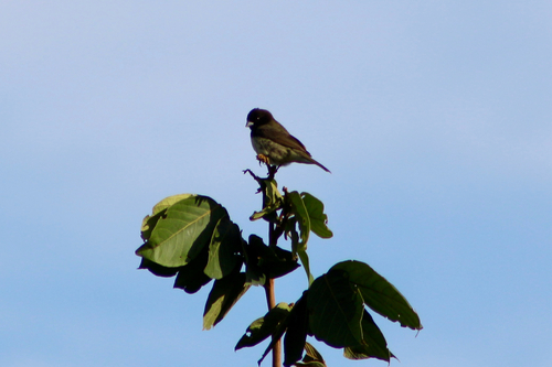
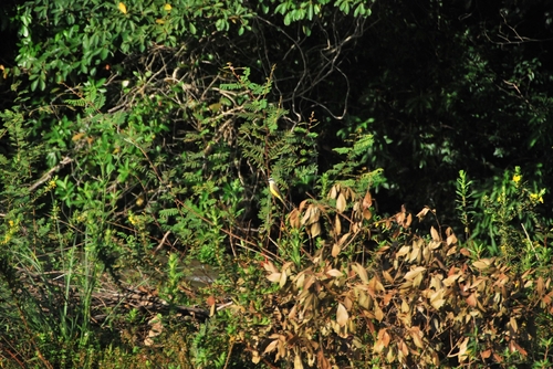
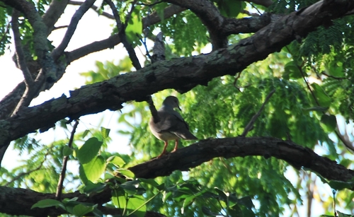
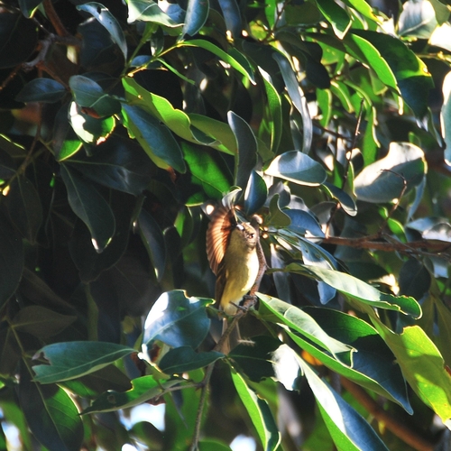
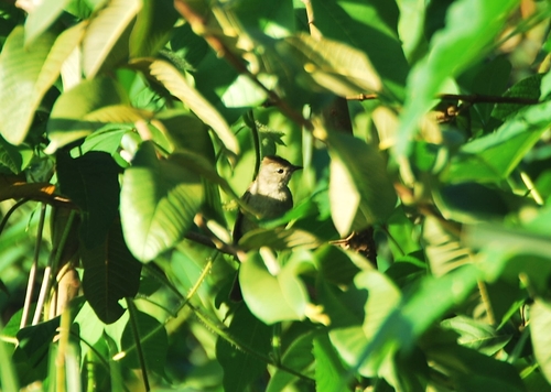
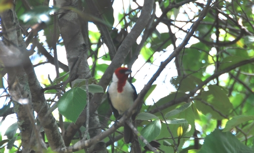
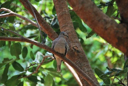
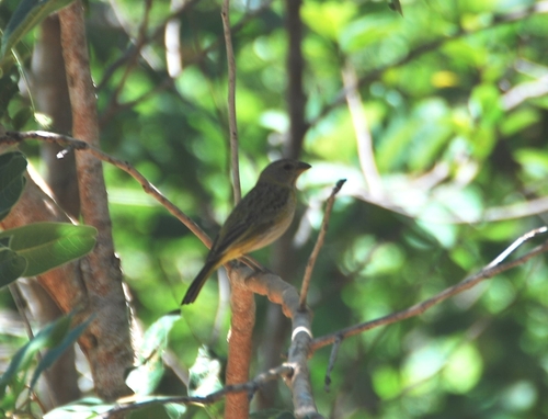
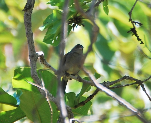
Research-grade observations from iNaturalist (within ~15 mi).
Events
Gallery
Sources
- • Wikidata
- • Open-Meteo Air Quality (CAMS)
- • USGS Earthquake Catalog (global feed)
- • GBIF (Global Biodiversity Information Facility)
- • iNaturalist