Browse / Brazil / São Paulo / Poá
Poá
São Paulocity

Poá
Total population
103,765
Founded
1949
Demographic figures from IBGE. Overview below cites Wikipedia and may reference a different year.
City facts
Facts from Wikidata (CC0).
Overview
Poá is a municipality in the state of São Paulo in Brazil. The water extracted from Fonte Áurea, or the Golden Fountain, is sold throughout Brazil. The population is 103,765 in an area of 17.264 km2.
Read more on WikipediaHistory & geography
History
The municipality was created by state law in 1948. Poá is one of eleven municipalities considered spa towns (Estancia Hidromineral) by the state of São Paulo, fulfilling certain prerequisites set by state law. This status ensures that these municipalities more money from the state to promote regional tourism and beyond that the city acquired the right to add the title "Estancia Hidromineral" to its name, a term which is designated by both the municipal expedient as the official state references. Poá's economy is mainly service-focused, since the installation of polluting industries has been banned since 1970, the year it became a spa town. Territory-wise, is one of the smallest municipalities in the state of São Paulo (only bigger than Aguas de São Pedro and São Caetano do Sul). Verticalization in the city center is discouraged to preserve the small-town atmosphere of the city, with narrow streets and the preservation of several old buildings. The council is not the richest in the region, but still outperforms its neighbors in several social indicators, thus signaling that the economic growth of Poá is more equal and sustainable than in other cities, and that its population has a better quality of life due to public facilities (schools, parks and health units). In indexes like the human development index, the child development index and the index of development of basic education, Poá surpasses all municipalities. In 2007 it was considered one of the safest cities of São Paulo, specifically the 5th, behind only São Caetano do Sul, Barueri, Caieiras and Mogi das Cruzes.
Geography
The climate of the city and across the metropolitan region of São Paulo, is subtropical. Little hot and rainy summer. Mild winters and sub. The average annual temperature is around 18C °, the coldest month is July (average of 14 °C) and the warmest is February (average of 22 °C). Annual rainfall is around 1400 mm.
Excerpted from the corresponding Wikipedia article (CC BY-SA).
Geography
Coordinates & boundaries from the US Census TIGER/Line shapefiles.
Climate
Air quality
Walkability
Amenities nearby
Wildlife & biodiversity
Earthquake history
Photos
Sights & places nearby
Notable people from here
Nearby places in São Paulo
- Bairro das Palmeiras8.2 mi away
- Biritiba-Ussu16.3 mi away
- São Silvestre de Jacareí23.5 mi away
- Nossa Senhora do Remédio24.2 mi away
- Igaratá25 mi away · pop. 10,605
- Remedinho28.2 mi away
- Vicente de Carvalho29.3 mi away
- São Vicente30.6 mi away · pop. 329,911
- Vila Edna31.5 mi away
- Vila Zilda31.6 mi away
- Embu das Artes33.3 mi away · pop. 250,691
- Cajamar35.7 mi away · pop. 92,689
Geography & sun
Elevation, sunrise/sunset and daylight from Open-Meteo. Solar climatology from NASA POWER.
Nearby airports
Public attention
Pageview totals from the Wikimedia Pageviews API.
Books about Poá
Search results from Open Library.
Recent natural events nearby
Ground air-quality sensors
Recently spotted species
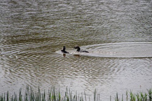
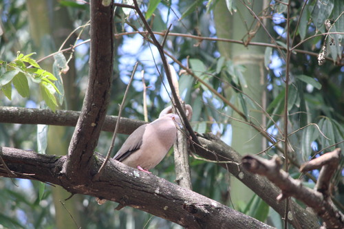
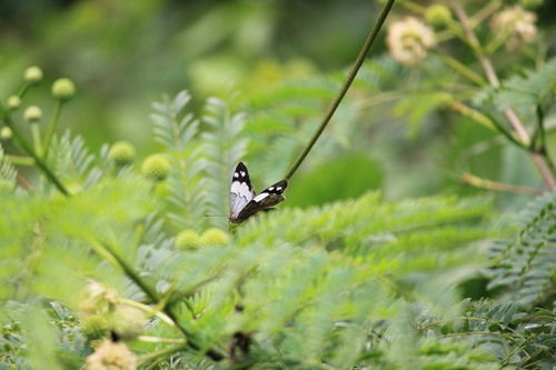
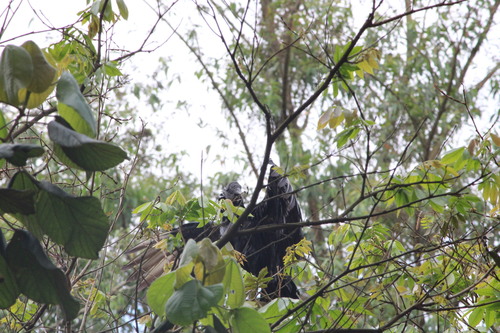
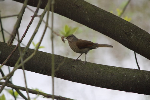
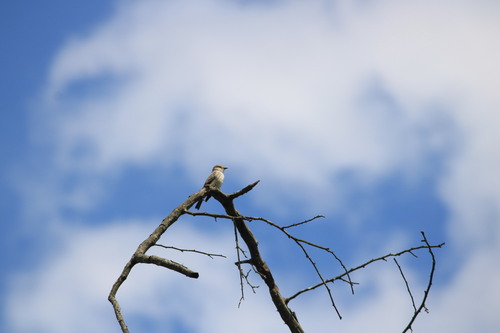
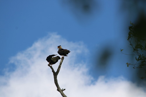
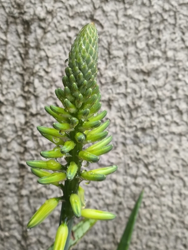
Research-grade observations from iNaturalist (within ~15 mi).
Events
Gallery
Official Identifiers
IBGE — Brazilian Institute of Geography and Statistics
- IBGE code
- 3539806
- UF
- SP
- Mesorregião
- Metropolitana de São Paulo
- Microrregião
- Mogi das Cruzes
servicodados.ibge.gov.br
Sources
- • Wikipedia
- • Wikidata
- • iNaturalist
- • Open-Meteo / sunrise-sunset.org
- • Wikipedia Pageviews API
- • Open Library
- • Wikidata SPARQL (CC0) — population, area, elevation, inception, head of government, Commons image
- • IBGE — Brazilian national statistics, via servicodados.ibge.gov.br (official municipal code, UF, mesorregião, microrregião, region)
- • IBGE — Brazilian Institute of Geography and Statistics — servicodados.ibge.gov.br