Browse / Brazil / Paraná / Ponta Grossa
Ponta Grossa
Paranácity

Ponta Grossa
Total population
358,371
Founded
1823
Air quality index
Demographic figures from IBGE. Overview below cites Wikipedia and may reference a different year.
City facts
Facts from Wikidata (CC0).
Overview
Ponta Grossa is a municipality in the state of Paraná, southern Brazil. The estimated population is 355,336 according to official data from the Brazilian Institute of Geography and Statistics and it is the 4th most populous city in Paraná. It is also the largest city close to Greater Curitiba region, so within a radius of 186 miles (300 km) of Ponta Grossa.
Read more on WikipediaHistory & geography
History
According to the historian Paulo Eduardo Dias de Mello the earliest account of European activity in this area is of the tropeiros who travelled with their wares towards the fair of Sorocaba. Ponta Grossa served as a resting point since 1703 of the long voyages that left Rio Grande do Sul. Along the way was commercialized the charque, where the meat was preserved only with salt. Unlike other settlements, Ponta Grossa was not inhabited, indigenous groups occupied places to the north, with expansion, conflicts later came with European settlers, such as that of the city of Reserva, but outside the urban space of the city in question. Another version, but not necessarily contradictory, states that the farmers of the area would launch a couple of pigeons and where these birds would land would mark the beginning of the Freguesia with the construction of the chapel Mrs. Saint Anne. Ponta Grossa had its territory traversed from the 16th century, when the Campos Gerais were crossed by Spanish expeditions that demanded of the Santa Catarina coast until Asunción, in Paraguay. Later it was successively moved on account of the seiscentistas bandeirantes, notably for capture of the natives. Tropeiros, people who used mules and donkeys to transport goods (normally called muleteers in English) used the region as a route, the landscape in the form of a field became welcome to pass with mules and in the future cattle ranching. At a later point some former tropeiros settled in the area and began to farm. Much of the products from these new farms was used for the feeding of animals used by the muleteers. Other muleteers settled down and started farming because events like floods disrupted the distribution of their goods and so they had to take their losses and began new activities.…
Geography
Ponta Grossa is on the Second Plateau Paranaense (also known as Plateau of Ponta Grossa, limited the east through the Escarpa Devoniana), at a latitude of 25º09'S and longitude of 50º16'W, from the capital of Paraná to downtown is 70,8 miles (114 km). The city has 16 neighbourhoods giving the urban area a sum of . The relief is quite bumpy is found numerous valleys within the urban area. It is considered the main road and rail junction in southern Brazil. It has access to the federal highway BR-376 that connects to the north of the state and gives access to BR-277 that allows access from west to east of the state, including Curitiba and Foz do Iguaçu. The same highway gives access in the south direction to resume the BR-376 allowing to go towards Santa Catarina. The average salary is 2.7 Brazilian minimum wage, placing it in a satisfactory position in Paraná in relation to other areas. The number of people to be in regular employment is 99,317, almost 1/3 of the population, a little more of this proportion represents the number of workers who receive half of a minimum wage stipulated for the country. The schooling rate is 98.2%. GDP per capita (2015) is R$34,941.59. The HDI is 0.763 for 2010. Infant mortality is 11 occurrences for every thousand births, a high value for state statistics. The treatment of sewage is 81.3% in relation to the pipes connected to the network. It is also characterized by low urban afforestation in relation to most of the paranaenses cities. For a historical and phytogeographic regionalization, the city is located in the Campos Gerais do Paraná (In English: General Fields of the Paraná) the most important of the region. For the IBGE's official regionalization, the city is located in the Central-Eastern region of Paraná. Locating in the…
Excerpted from the corresponding Wikipedia article (CC BY-SA).
Geography
Coordinates & boundaries from the US Census TIGER/Line shapefiles.
Climate
Air quality
Current readings from Open-Meteo Air Quality API (Copernicus CAMS European reanalysis).
Walkability
Amenities nearby
Wildlife & biodiversity
Most-observed species
- Rufous HorneroFurnarius rufus (Gmelin, 1788) · Aves356
- Eared DoveZenaida auriculata (Des Murs, 1847) · Aves351
- Southern LapwingVanellus chilensis (Molina, 1782) · Aves343
- Great KiskadeePitangus sulphuratus (Linnaeus, 1766) · Aves313
- Saffron FinchSicalis flaveola (Linnaeus, 1766) · Aves264
- blue-and-white swallowNotiochelidon cyanoleuca (Vieillot, 1817) · Aves191
- Rufous-bellied ThrushTurdus rufiventris Vieillot, 1818 · Aves191
- Picazuro PigeonPatagioenas picazuro (Temminck, 1813) · Aves188
Citizen-science & research observations from the Global Biodiversity Information Facility (GBIF).
Earthquake history
Most recent
- M 4.3 — 2006-01-0413 km SSW of Telêmaco Borba, Brazil
Events from the USGS Earthquake Catalog (global) (FDSN Event Web Service).
Photos
Sights & places nearby
Notable people from here


People born within ~10 km, from Wikidata (CC0). Click any name for their Wikipedia article.
Nearby places in Paraná
- Carambeí9.9 mi away · pop. 23,283
- Palmeira25.4 mi away · pop. 33,855
- Imbituva29.5 mi away · pop. 29,924
- Colônia Witmarsum31.4 mi away · pop. 2,000
- Piraí do Sul40.7 mi away · pop. 23,651
- São João do Triunfo41.9 mi away · pop. 13,726
- Ivaí44 mi away · pop. 13,229
- Reserva52.6 mi away · pop. 24,573
- Contenda56.4 mi away · pop. 19,128
- Rio Azul59.1 mi away · pop. 14,025
- Cerro Azul59.2 mi away · pop. 16,134
- Arapoti68.5 mi away · pop. 25,777
Geography & sun
Elevation, sunrise/sunset and daylight from Open-Meteo. Solar climatology from NASA POWER.
Nearby airports
Public attention
Pageview totals from the Wikimedia Pageviews API.
Books about Ponta Grossa
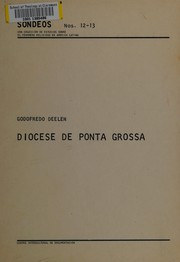
Search results from Open Library.
Recent natural events nearby
Ground air-quality sensors
Recently spotted species
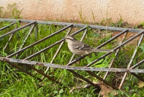
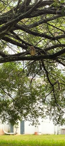
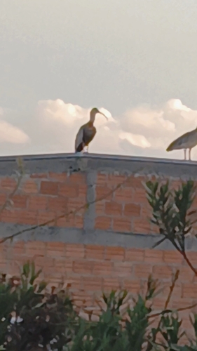
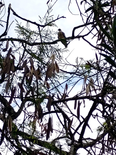
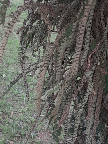
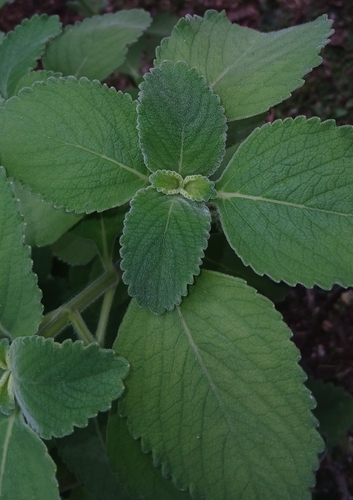
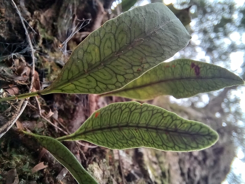
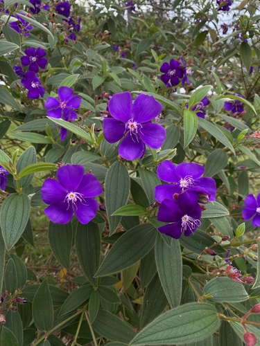
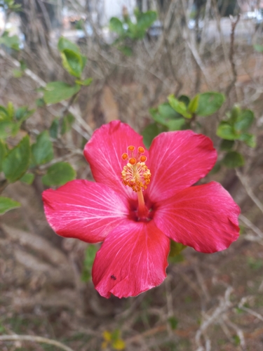
Research-grade observations from iNaturalist (within ~15 mi).
Events
Gallery
Geotagged photos within ~6 miles of Ponta Grossa, from Wikimedia Commons contributors.
 0 mi
0 mi 0.1 mi
 0.2 mi
 0.2 mi
 0.2 mi
 0.2 mi
 0.2 mi
 0.2 mi
 0.2 mi
 0.3 mi
 0.4 mi
 0.4 mi
 0.4 mi
 0.4 mi
.jpg) 0.4 mi
0.4 mi.jpg) 0.4 mi
0.4 mi.jpg) 0.4 mi
0.4 mi.jpg) 0.4 mi
0.4 mi.jpg) 0.4 mi
0.4 mi.jpg) 0.4 mi
0.4 mi.jpg) 0.4 mi
0.4 mi.jpg) 0.4 mi
0.4 mi.jpg) 0.4 mi
0.4 mi 0.6 mi
Photos via Wikimedia Commons — see each image page for license & attribution.
Official Identifiers
IBGE — Brazilian Institute of Geography and Statistics
- IBGE code
- 4119905
- UF
- PR
- Mesorregião
- Centro Oriental Paranaense
- Microrregião
- Ponta Grossa
servicodados.ibge.gov.br
Sources
- • Wikipedia
- • Wikimedia Commons
- • Wikidata
- • Open-Meteo Air Quality (CAMS)
- • USGS Earthquake Catalog (global feed)
- • GBIF (Global Biodiversity Information Facility)
- • iNaturalist
- • Open-Meteo / sunrise-sunset.org
- • Wikipedia Pageviews API
- • Open Library
- • Wikidata SPARQL (CC0) — population, area, elevation, inception, head of government, Commons image
- • IBGE — Brazilian national statistics, via servicodados.ibge.gov.br (official municipal code, UF, mesorregião, microrregião, region)
- • IBGE — Brazilian Institute of Geography and Statistics — servicodados.ibge.gov.br