Browse / Brazil / Goiás / Pontalina
Pontalina
Goiástown

Pontalina
Total population
18,309
Demographic figures from IBGE. Overview below cites Wikipedia and may reference a different year.
City facts
Facts from Wikidata (CC0).
Overview
Pontalina is a municipality in south-central Goiás state, Brazil. One hundred and twenty-five kilometers from the state capital, Goiânia, it has become one of the most important retail clusters of lingerie in the state: Every year thousand of people flock to the city to buy its production of fine lingerie in order to sell it within Goiás, in other states, and even abroad.
Read more on WikipediaHistory & geography
History
The origins of the town go back to the nineteenth century when cattle ranchers established themselves in the region. In 1938 what was once a district of Morrinhos became a city named Pontalina, derived from the proximity of the Rio dos Bois and the Meia Ponte River.
Geography
Pontalina is connected by highways BR-153 and GO-19. Another way to reach it by car is through the newly renovated GO-040 road that connects it to Aparecida de Goiânia (in the metropolitan area of the capital, Goiânia). Neighboring municipalities are Mairipotaba, Piracanjuba, Morrinhos, Aloândia, Joviânia, Vicentinópolis, Edéia, Edealina and Cezarina. The climate is hot in summer and mild in winter, with an average annual temperature of 25 °C. The fauna is represented by jacaré, catitus, paca, deer, and capibara, whose preferred habitat is the Rio dos Bois. The flora has suffered with deforestation but there are still stands of jatobá, angico, aroeira, ipê and peroba rosa (Aspidosperma—see [http://tropicalhardwoods.com/htm/tropical_hardwoods/peroba_rosa.htm Peroba rosa])
Excerpted from the corresponding Wikipedia article (CC BY-SA).
Geography
Coordinates & boundaries from the US Census TIGER/Line shapefiles.
Climate
Air quality
Walkability
Amenities nearby
Wildlife & biodiversity
Most-observed species
- Roadside HawkRupornis magnirostris (Gmelin, 1788) · Aves7
- Great KiskadeePitangus sulphuratus (Linnaeus, 1766) · Aves6
- Purple-throated EuphoniaEuphonia chlorotica (Linnaeus, 1766) · Aves6
- Rufous-tailed JacamarGalbula ruficauda Cuvier, 1816 · Aves6
- Burnished-buff TanagerStilpnia cayana (Linnaeus, 1766) · Aves5
- Black-fronted NunbirdMonasa nigrifrons (von Spix, 1824) · Aves5
- Toco ToucanRamphastos toco P.L.S.Müller, 1776 · Aves5
- peach-fronted conureAratinga aurea (Gmelin, 1788) · Aves5
Citizen-science & research observations from the Global Biodiversity Information Facility (GBIF).
Earthquake history
Events from the USGS Earthquake Catalog (global) (FDSN Event Web Service).
Photos
Sights & places nearby
Notable people from here
Nearby places in Goiás
- Aloândia14.9 mi away · pop. 1,973
- Vertente Rica17.4 mi away
- Guarilândia20.7 mi away
- Professor Jamil22.4 mi away · pop. 3,649
- Joviânia23.4 mi away · pop. 7,159
- Morrinhos27 mi away · pop. 51,351
- Oloana27.6 mi away
- Jardim da Luz31.6 mi away
- Piracanjuba31.8 mi away · pop. 24,883
- Estulânia32.8 mi away
- Patrimônio São José38.4 mi away
- Cezarina43.4 mi away · pop. 8,090
Geography & sun
Nearby airports
Public attention
Books about this place
Recent natural events nearby
Ground air-quality sensors
Recently spotted species
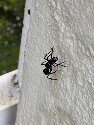
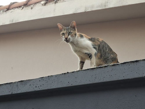
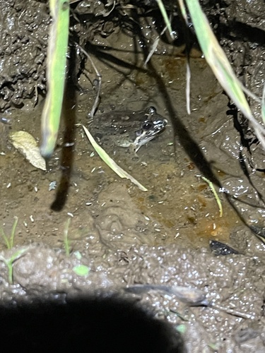
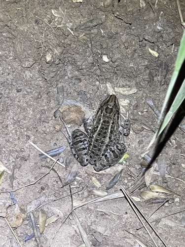
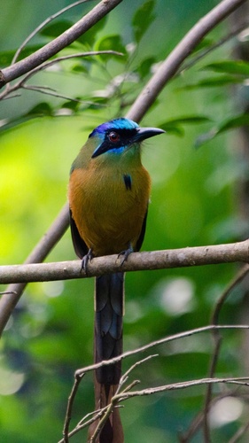
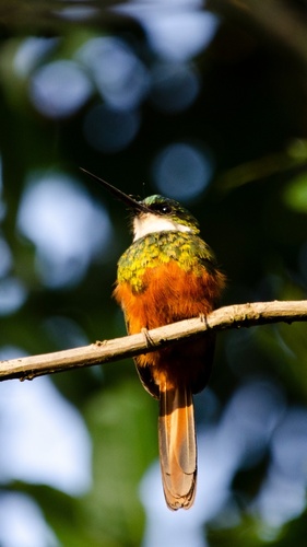

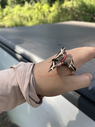
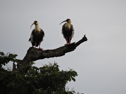
Research-grade observations from iNaturalist (within ~15 mi).
Events
Gallery
Official Identifiers
IBGE — Brazilian Institute of Geography and Statistics
- IBGE code
- 5217708
- UF
- GO
- Mesorregião
- Sul Goiano
- Microrregião
- Meia Ponte
servicodados.ibge.gov.br
Sources
- • Wikipedia
- • Wikidata
- • USGS Earthquake Catalog (global feed)
- • GBIF (Global Biodiversity Information Facility)
- • iNaturalist
- • IBGE — Brazilian national statistics, via servicodados.ibge.gov.br (official municipal code, UF, mesorregião, microrregião, region)
- • IBGE — Brazilian Institute of Geography and Statistics — servicodados.ibge.gov.br