Browse / Brazil / Rio Grande do Sul / Porto Alegre
Porto Alegre
Rio Grande do Sulcity

Porto Alegre
Total population
1,332,833
Founded
1772
Demographic figures from IBGE. Overview below cites Wikipedia and may reference a different year.
City facts
Sister cities
Facts from Wikidata (CC0).
Overview
Porto Alegre is the capital and largest city of the Brazilian state of Rio Grande do Sul. Its population of roughly 1.4 million inhabitants (2022) makes it the 11th-most populous city in the country and the centre of Brazil's fifth-largest metropolitan area, with 4.1 million inhabitants (2022). The city is the southernmost capital city of a Brazilian state.
Read more on WikipediaHistory & geography
History
The official date of the foundation of the city of Porto Alegre is 26 March 1772, by Manuel Sepúlveda, when Freguesia de São Francisco do Porto dos Casais was created and changed a year later to Nossa Senhora da Madre de Deus de Porto Alegre. However, the village started in 1752, when 60 Azorean couples were brought over by the Treaty of Madrid to set up Missions at the Northeast Region of Rio Grande do Sul that was handed over to the Portuguese Crown in exchange for the Sacramento Colony located on the margin of the Plata River. Land demarcation took a long time and the Azoreans settled permanently at Porto de Viamão, which was the first name by which Porto Alegre went. On 24 July 1773, Porto Alegre became the capital city of the province, when the administration of Manuel Sepúlveda, who used the fictitious name or pseudonym José Marcelino de Figueiredo, to hide his identity, officially started. In 1824, immigrants from all over the world started arriving, especially German, Italian, Spanish, Polish, Jewish, and Lebanese. The capital city of Rio Grande do Sul is also the capital city in the Pampas region, the name given to the region of fauna and flora typical of the vast plains that dominate the landscape of the southern tip of Brazil, and parts of Argentina and Uruguay, from where the gaúcho comes, the historical figure of a brave warrior who fought legendary battles and wars in the quest to conquer the borders of the kingdoms of Portugal and Spain in the 16th century. This conflict began the myth of the gaucho who is still praised in songs and celebrated in annual pageants and honored as names of streets and parks. In 1985, the people of Porto Alegre joined the movement for free elections and one of the largest demonstrations took place in the city. In 2024, the…
Geography
The city of Porto Alegre is located at the northern end of the large coastal lagoon, Lagoa dos Patos in southeastern Brazil. The city lies on the east bank of the mouth of the Rio Guaiba, the estuary of which forms the enormous freshwater lagoon, Lagoa dos Patos. Also joining the Guaíba at Porto Alegre are the Jacuí River, the Sinos River, the Gravataí River and the Caí River, all tributaries of Guaíba just before it empties into Lagoa dos Patos. Porto Alegre has a long coastline on the Guaíba Lake, and its topography is punctuated by 40 hills. In the lake, a vast body of water, a maze of islands facing the city forms an archipelago where a unique ecosystem gives shelter to abundant wildlife. The city area concentrates 28% of the native flora of Rio Grande do Sul, with 9,288 species. Among these, there are many trees which are vestiges of the Atlantic Forest. The fauna is also diversified, especially in the islands and hills. The Portoalegrense environs include many parks, squares and tree-lined streets. According to the Köppen climate classification, Porto Alegre has a humid subtropical climate (Cfa) characterized by its high variability, but with well-defined seasons and evenly distributed rain throughout the year. The presence of Lake Guaíba contributes to increase the humidity of the air. The city experiences the most prominent difference among seasons and between temperature extremes among all Brazilian capitals. One reason for that is its much more southerly position relative to the rest of the country, which also contributes for the occurrence of 14 hours of daylight in December and 10 hours in June. Due to a large depletion in the ozone layer over the south of Brazil, a result of the Antarctic ozone hole, the population is occasionally dangerously exposed to…
Excerpted from the corresponding Wikipedia article (CC BY-SA).
Geography
Coordinates & boundaries from the US Census TIGER/Line shapefiles.
Climate
10-year averages from ERA5 reanalysis (Open-Meteo).
Air quality
Walkability
Amenities nearby
Wildlife & biodiversity
Earthquake history
Photos
Sights & places nearby
Notable people from here


People born within ~10 km, from Wikidata (CC0). Click any name for their Wikipedia article.
Nearby places in Rio Grande do Sul
- Costa do Ipiranga16.6 mi away · pop. 4,894
- Passo da Areia17.6 mi away
- Porto Batista19 mi away
- Barro Vermelho20.8 mi away · pop. 7,035
- Morungava23 mi away · pop. 6,168
- Parque Eldorado25.7 mi away · pop. 5,097
- São Jerônimo30 mi away · pop. 21,028
- Arroio dos Ratos30.1 mi away · pop. 14,601
- Ivoti30.6 mi away · pop. 22,983
- Douradilho31.1 mi away · pop. 1,218
- São Sebastião do Caí31.7 mi away · pop. 24,428
- Capão da Porteira33 mi away
Geography & sun
Elevation, sunrise/sunset and daylight from Open-Meteo. Solar climatology from NASA POWER.
Nearby airports
Public attention
Pageview totals from the Wikimedia Pageviews API.
Books about Porto Alegre
Search results from Open Library.
Recent natural events nearby
Ground air-quality sensors
Recently spotted species
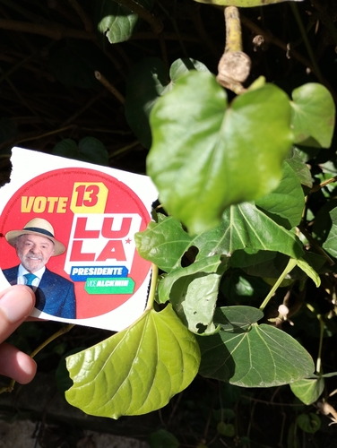
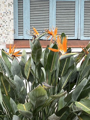
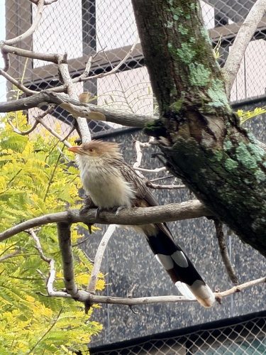
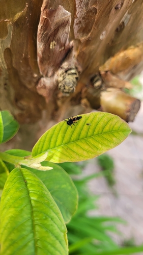
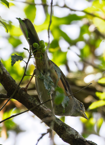
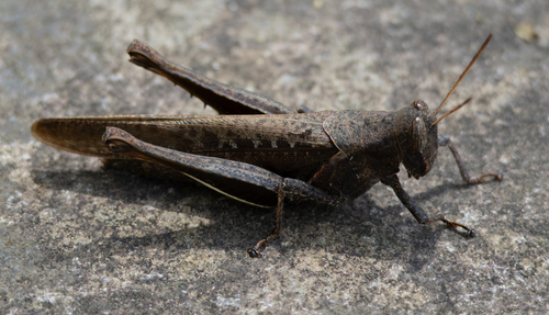
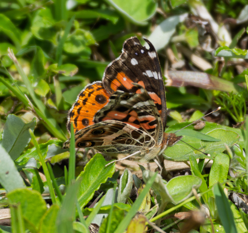
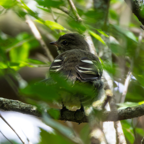
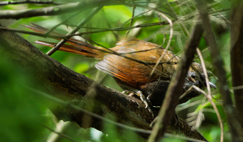
Research-grade observations from iNaturalist (within ~15 mi).
Events
Gallery
Official Identifiers
IBGE — Brazilian Institute of Geography and Statistics
- IBGE code
- 4314902
- UF
- RS
- Mesorregião
- Metropolitana de Porto Alegre
- Microrregião
- Porto Alegre
servicodados.ibge.gov.br
Sources
- • Wikipedia
- • Open-Meteo (ERA5 reanalysis)
- • Wikidata
- • iNaturalist
- • Open-Meteo / sunrise-sunset.org
- • Wikipedia Pageviews API
- • Open Library
- • Wikidata SPARQL (CC0) — population, area, elevation, inception, head of government, Commons image
- • IBGE — Brazilian national statistics, via servicodados.ibge.gov.br (official municipal code, UF, mesorregião, microrregião, region)
- • IBGE — Brazilian Institute of Geography and Statistics — servicodados.ibge.gov.br