Browse / Brazil / Rondônia / Porto Velho
Porto Velho
Rondôniacity

Porto Velho
Total population
460,434
Founded
1914
Demographic figures from IBGE. Overview below cites Wikipedia and may reference a different year.
City facts
Sister cities
Facts from Wikidata (CC0).
Overview
Porto Velho is the capital of the Brazilian state of Rondônia, in the upper Amazon River basin. The population is 460,434 people. Located on the border of Rondônia and the state of Amazonas, the town is an important trading center for cassiterite, the mining of tin, which represents the most important economic activity in the region, as well as a transportation and communication center. It is on the eastern shore of the Madeira River, one of the main tributaries of the Amazon River. It is also Rondônia's largest city, and the largest state capital of Brazil by area.
Read more on WikipediaHistory & geography
History
Officially founded on October 2, 1914, Porto Velho was founded by pioneers around 1907, during the construction of the Madeira-Mamoré railroad. After the railroad was completed, the local population was about one thousand inhabitants; its buildings were chiefly the railway's installations and the wooden houses of the Caribbean (mainly Barbadian) workers - hence the name of the town's largest district by then, "Bajan Hill" or "Barbados Town", nowadays called the "Alto do Bode". During the first sixty years, the city's development was directly connected to the railway's activities. The town prospered during the rubber boom; after the discovery of cheap Malaysian rubber made that of the Amazon obsolete, the region's rubber-centered economy ground to a sudden halt. Cities like Santo Antônio do Madeira, which had a tram line and a weekly newspaper by the time of Porto Velho's foundation, are still nothing but ruins to this day. Porto Velho's survival is associated with the better conditions of the area where it was built, its easy access by the river and its harbor: these were all considerations in the choice of Porto Velho as the capital of the newly formed Federal Territory of Guaporé, in 1943. Only with the beginning of World War II was there another cycle of progress in the region. Once the Allied forces lost control of Malaysian rubber, the Amazon's was needed again due to the war effort. This produced what is known in Brazil as the "second rubber boom". Subsequently, when the war ended, the region's economy once again came to a halt. Porto Velho's modern history begins with the discovery of cassiterite around the city, and of gold on the Madeira River, at the end of the 1950s. In addition, the government's decision to allow large cattle farms in the territory began…
Geography
Porto Velho features a tropical monsoon climate (climate type Am) under the Köppen climate classification. The temperatures tend to be relatively consistent throughout the course of the year, with average daily temperatures typically between 25 and 26 degrees Celsius. |source 2 = Starlings Roost Weather }} The Amazon has over half of the planet's remaining rainforests and is the largest and most species-rich tract of tropical rainforest in the world. Wet tropical forests are the most species-rich biome, and tropical forests in the Americas are consistently more species-rich than wet forests in Africa and Asia. As the largest tract of tropical rainforest in the Americas, the Amazonian rainforests have unparalleled biodiversity. More than one third of all species in the world live in the Amazon Rainforest. The municipality contains what is left of the Rio Madeira Sustainable Yield Forest (B) and (C), created in 1990. It contains the Lago do Cuniã Extractive Reserve, created in 1999. It contains part of the strictly-protected Cuniã Ecological Station, an area of savannah parkland. It holds all of the strictly protected Serra dos Três Irmãos Ecological Station. It contains part of the Mapinguari National Park, a conservation unit created in 2008. It also contains part of the Jacundá National Forest, a sustainable use conservation unit. The municipality contains 66% of the Jaci Paraná Extractive Reserve, created in 1996. It contains the Mujica Nava Ecological Station, created in 1996. It contains part of the Bom Futuro National Forest, established in 1988. The majority of the forest surrounding Porto Velho has been cut down, however.
Excerpted from the corresponding Wikipedia article (CC BY-SA).
Geography
Coordinates & boundaries from the US Census TIGER/Line shapefiles.
Climate
10-year averages from ERA5 reanalysis (Open-Meteo).
Air quality
Walkability
Amenities nearby
Wildlife & biodiversity
Earthquake history
Photos
Sights & places nearby
Notable people from here


People born within ~10 km, from Wikidata (CC0). Click any name for their Wikipedia article.
Nearby places in Rondônia
- Residencial Tulipas4.3 mi away
- Candeias do Jamari12.1 mi away · pop. 22,310
- São Francisco15.4 mi away
- Vila Aliança24.8 mi away
- Rio Novo25.5 mi away
- Planalto II28.5 mi away
- Nova Vila Samuel32.1 mi away
- São Carlos33.5 mi away · pop. 1,176
- Belo Horizonte37.8 mi away
- Ponte do Jamari44.7 mi away
- Triunfo45.9 mi away · pop. 4,000
- Vila do Projeto Jequitibá47.3 mi away
Geography & sun
Elevation, sunrise/sunset and daylight from Open-Meteo. Solar climatology from NASA POWER.
Nearby airports
Public attention
Pageview totals from the Wikimedia Pageviews API.
Books about Porto Velho
Search results from Open Library.
Recent natural events nearby
Ground air-quality sensors
Recently spotted species
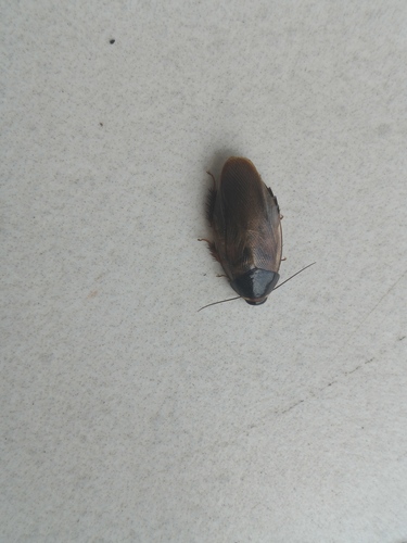
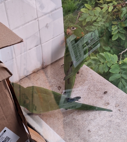
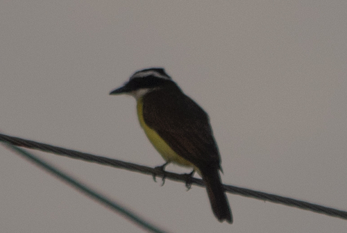
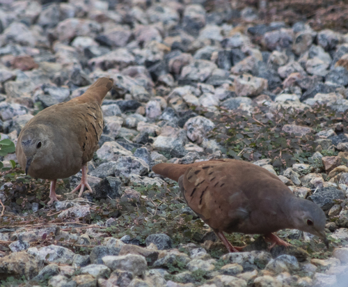
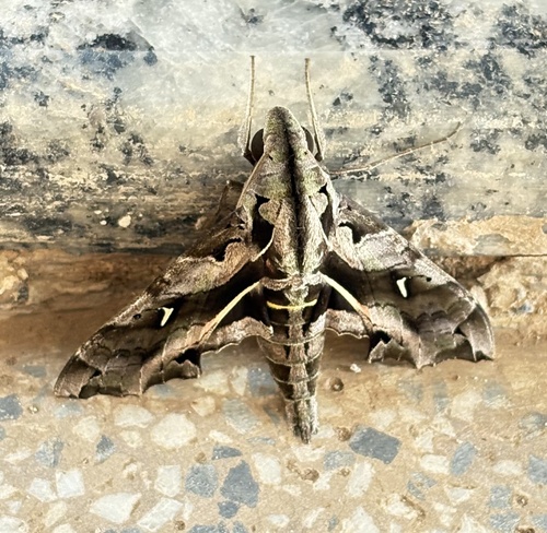
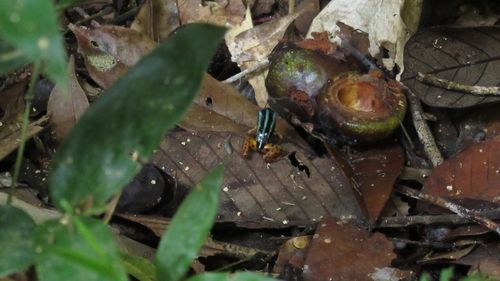
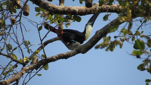
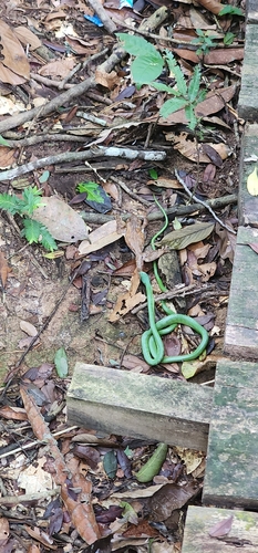
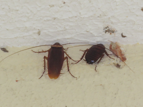
Research-grade observations from iNaturalist (within ~15 mi).
Events
Gallery
Official Identifiers
IBGE — Brazilian Institute of Geography and Statistics
- IBGE code
- 1100205
- UF
- RO
- Mesorregião
- Madeira-Guaporé
- Microrregião
- Porto Velho
servicodados.ibge.gov.br
Sources
- • Wikipedia
- • Open-Meteo (ERA5 reanalysis)
- • Wikidata
- • iNaturalist
- • Open-Meteo / sunrise-sunset.org
- • Wikipedia Pageviews API
- • Open Library
- • Wikidata SPARQL (CC0) — population, area, elevation, inception, head of government, Commons image
- • IBGE — Brazilian national statistics, via servicodados.ibge.gov.br (official municipal code, UF, mesorregião, microrregião, region)
- • IBGE — Brazilian Institute of Geography and Statistics — servicodados.ibge.gov.br