Browse / Brazil / Acre / Ramal Havai
Ramal Havai
Acrehamlet
Demographic figures from IBGE. Overview below cites Wikipedia and may reference a different year.
City facts
Overview
As a hamlet in Acre, Brazil, Ramal Havai occupies its own corner of the country. On the world map it falls within the Western Hemisphere, specifically at -7.702°, -72.973°. Detailed population figures are not currently catalogued in the open data sources we track. The location receives about 1,686 kWh/m² of solar irradiance per year and sunshine for roughly 66% of daylight hours. Based on its equatorial position, residents likely encounter hot and humid year-round with little seasonal temperature variation. Read on for charts and tables covering demographics, climate, hazards, schools, wildlife and other open-data indicators for Ramal Havai.
Summary composed automatically from structured open data on this page. See our Terms for details.
History & geography
Geography
Coordinates & boundaries from the US Census TIGER/Line shapefiles.
Climate
Air quality
Walkability
Amenities nearby
Wildlife & biodiversity
Most-observed species
- Tropical KingbirdTyrannus melancholicus Vieillot, 1819 · Aves37
- Great KiskadeePitangus sulphuratus (Linnaeus, 1766) · Aves32
- Yellow-rumped CaciqueCacicus cela (Linnaeus, 1758) · Aves30
- Palm TanagerThraupis palmarum (Wied-Neuwied, 1821) · Aves26
- Silver-beaked TanagerRamphocelus carbo (Pallas, 1764) · Aves25
- Buff-breasted WrenCantorchilus leucotis (Lafresnaye, 1845) · Aves25
- Ringed KingfisherMegaceryle torquata (Linnaeus, 1766) · Aves24
- Black VultureCoragyps atratus (Bechstein, 1793) · Aves22
Citizen-science & research observations from the Global Biodiversity Information Facility (GBIF).
Earthquake history
Most recent
- M 4.4 — 2026-04-2775 km N of Cruzeiro do Sul, Brazil
- M 4.3 — 2025-11-2579 km NW of Mâncio Lima, Brazil
- M 4.6 — 2025-11-2491 km W of Porto Walter, Brazil
- M 4.6 — 2021-09-2786 km N of Cruzeiro do Sul, Brazil
- M 4.8 — 2021-09-0981 km NNE of Mâncio Lima, Brazil
- M 4.4 — 2015-07-3127 km SSE of Porto Walter, Brazil
Events from the USGS Earthquake Catalog (global) (FDSN Event Web Service).
Photos
Sights & places nearby
Notable people from here
Nearby places in Acre
Geography & sun
Elevation, sunrise/sunset and daylight from Open-Meteo. Solar climatology from NASA POWER.
Nearby airports
Public attention
Books about this place
Recent natural events nearby
Ground air-quality sensors
Recently spotted species
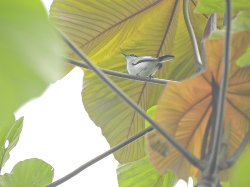
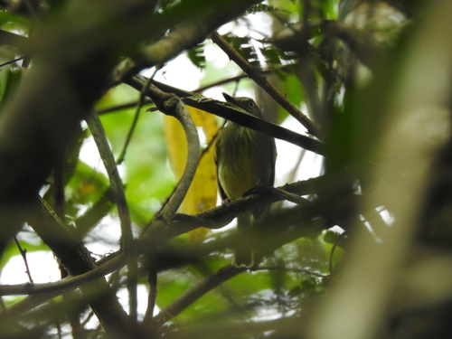
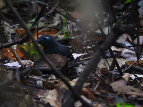
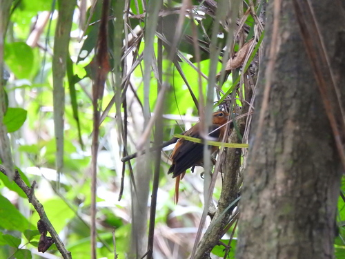
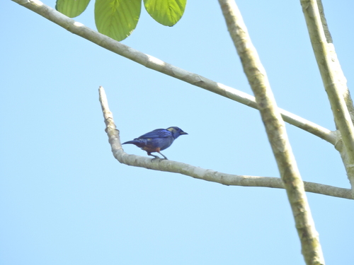
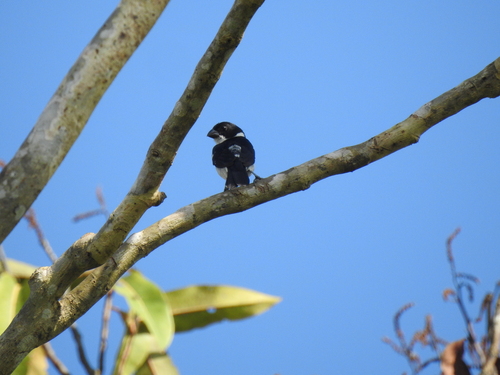
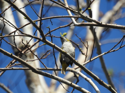
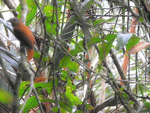
Research-grade observations from iNaturalist (within ~15 mi).
Events
Gallery
Sources
- • Wikidata
- • USGS Earthquake Catalog (global feed)
- • GBIF (Global Biodiversity Information Facility)
- • iNaturalist
- • Open-Meteo / sunrise-sunset.org