Browse / Brazil / Rio de Janeiro / Rio de Janeiro
Rio de Janeiro
Rio de Janeirocity

Rio de Janeiro
Total population
6,211,223
Founded
1565
Air quality index
Demographic figures from IBGE. Overview below cites Wikipedia and may reference a different year.
City facts
Sister cities
Facts from Wikidata (CC0).
Overview
Rio de Janeiro, also known simply as Rio, is the capital and largest city of the state of Rio de Janeiro. It is the second-largest city in Brazil after São Paulo, and the largest by international tourists. It has a population of 6 million in the city proper, and 13 million people in its metropolitan area as of 2025. It is also the sixth-most-populous city in the Americas.
Read more on WikipediaHistory & geography
History
The region of Rio was inhabited by the Tupi, Puri, Botocudo and Maxakalí peoples. Europeans first encountered Guanabara Bay on 1 January 1502 (hence Rio de Janeiro, "January River"), during a Portuguese expedition under explorer Gaspar de Lemos, captain of a ship in Pedro Álvares Cabral's fleet, or under Gonçalo Coelho. Allegedly the Florentine explorer Amerigo Vespucci participated as an observer at the invitation of King Manuel I in the same expedition. In 1555, one of the islands of Guanabara Bay, now called Villegagnon Island, was occupied by 500 French colonists under the French admiral Nicolas Durand de Villegaignon. Consequently, Villegagnon built Fort Coligny on the island when attempting to establish the France Antarctique colony. Eventually, this French settlement became too much of a threat to the established Portuguese colony, and in 1560 the order was made to get rid of them. A years-long military aggression was then initiated by the new Governor General of Brazil Mem de Sá, and later continued by his nephew Estácio de Sá. On 20 January 1567, a final defeat was imposed on the French forces, and they were decisively expelled from Brazil for good. The city of Rio de Janeiro proper was founded on 1 March 1565 by the Portuguese, led by Estácio de Sá, including . It was named São Sebastião do Rio de Janeiro, in honor of St. Sebastian, the saint who was the namesake and patron of the Portuguese then-monarch Sebastião. Rio de Janeiro was the name of Guanabara Bay. Until early in the 18th century, the city was threatened or invaded by several mostly French pirates and buccaneers, such as Jean-François Duclerc and René Duguay-Trouin. In the late 17th century, Bandeirantes discovered gold and diamonds in the neighboring captaincy of Minas Gerais, thus Rio de…
Geography
Rio de Janeiro is near the west end of a strip (from Cabo Frio to just east of Ilha Grande) of Brazil's Atlantic coast close to the Tropic of Capricorn where the shoreline is oriented east and west; the city thus faces largely south. It was founded at the entrance to an inlet, Guanabara Bay (Baía de Guanabara), which is marked by a point of land called Sugar Loaf (Pão de Açúcar) – a "calling card" of the city. The population of the city of Rio de Janeiro, occupying an area of , is about 6,000,000. The population of the greater metropolitan area is estimated at 11–13.5 million. Residents of the city are known as cariocas. The official song of Rio is "Cidade Maravilhosa", by composer André Filho. The city has parks and ecological reserves such as the Tijuca National Park, the world's first urban forest and UNESCO Environmental Heritage and Biosphere Reserve; Pedra Branca State Park, which houses the highest point of Rio de Janeiro, the peak of Pedra Branca; the Quinta da Boa Vista complex; the Botanical Garden; Rio's Zoo; Parque Lage; and the Passeio Público, the first public park in the Americas. In addition the Flamengo Park is the largest landfill in the city, extending from the center to the south zone, and containing museums and monuments, in addition to much vegetation. Since 1961, the Tijuca National Park (Parque Nacional da Tijuca), the largest city-surrounded urban forest and the second largest urban forest in the world, has been a National Park. The largest urban forest in the world is the Floresta da Pedra Branca (White Rock Forest), which is located in the West Zone of Rio de Janeiro. Due to the high concentration of industries in the metropolitan region, the city has faced serious problems of environmental pollution. The Guanabara Bay has lost…
Excerpted from the corresponding Wikipedia article (CC BY-SA).
Geography
Coordinates & boundaries from the US Census TIGER/Line shapefiles.
Climate
Air quality
Current readings from Open-Meteo Air Quality API (Copernicus CAMS European reanalysis).
Walkability
Amenities nearby
Wildlife & biodiversity
Most-observed species
- Great KiskadeePitangus sulphuratus (Linnaeus, 1766) · Aves13,134
- Palm TanagerThraupis palmarum (Wied-Neuwied, 1821) · Aves10,874
- BananaquitCoereba flaveola (Linnaeus, 1758) · Aves10,451
- Black VultureCoragyps atratus (Bechstein, 1793) · Aves10,391
- Southern House WrenTroglodytes musculus J.F.Naumann, 1823 · Aves9,324
- Magnificent FrigatebirdFregata magnificens Mathews, 1914 · Aves9,008
- Rock PigeonColumba livia J.F.Gmelin, 1789 · Aves8,309
- Tropical KingbirdTyrannus melancholicus Vieillot, 1819 · Aves8,021
Citizen-science & research observations from the Global Biodiversity Information Facility (GBIF).
Earthquake history
Events from the USGS Earthquake Catalog (global) (FDSN Event Web Service).
Photos
Sights & places nearby
Notable people from here


People born within ~10 km, from Wikidata (CC0). Click any name for their Wikipedia article.
Nearby places in Rio de Janeiro
Geography & sun
Elevation, sunrise/sunset and daylight from Open-Meteo. Solar climatology from NASA POWER.
Nearby airports
Public attention
Pageview totals from the Wikimedia Pageviews API.
Books about Rio de Janeiro
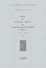


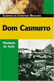
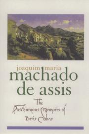

Search results from Open Library.
Recent natural events nearby
Ground air-quality sensors
Recently spotted species
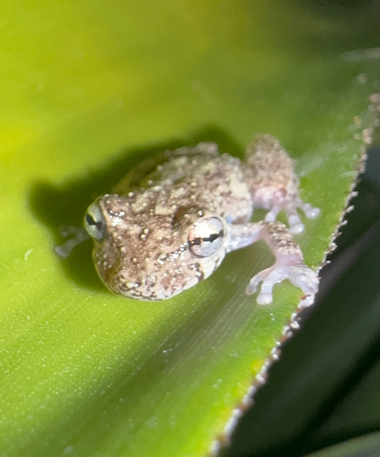
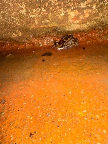
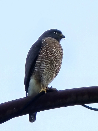
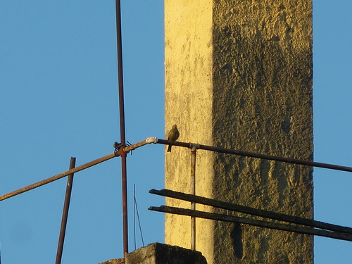
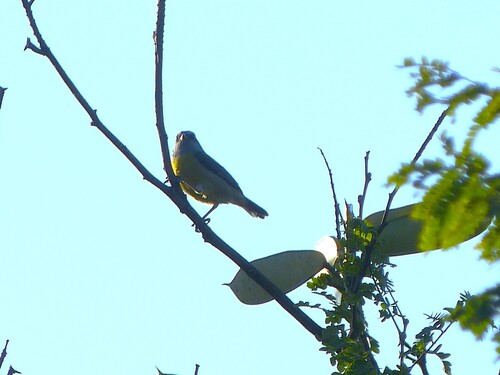
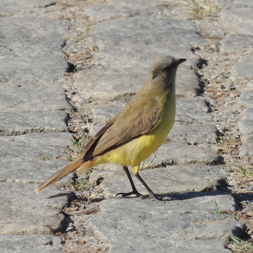
Research-grade observations from iNaturalist (within ~15 mi).
Events
Notable, recurring, and historical events associated with Rio de Janeiro, sourced from Wikidata.
- Jan 1, 2022
- Jan 1, 2016
- Jan 1, 2014
- Jul 23, 2007
- Jul 14, 2007
- Jan 1, 2007
- Jan 1, 2007
- Q10329370Sep 3, 2006award ceremony
- Q10329373Jan 1, 2000award ceremony
- Q16606734Jan 1, 2000award ceremony
- Q16606737Jan 1, 2000award ceremony
- Q10329371Jan 1, 2000award ceremony
- Back2Black Festivalfestival
Brazilian festival to celebrate the cultural connection and interchange between Brazil and Africa
- Q28679998Jan 1, 1880sporting event
Source: Wikidata (CC0).
Gallery
Geotagged photos within ~6 miles of Rio de Janeiro, from Wikimedia Commons contributors.
 0 mi
0 mi 0 mi
0 mi 0 mi
0 mi.jpg) 0 mi
0 mi 0 mi
0 mi 0 mi
0 mi 0.1 mi
 0.1 mi
 0.1 mi
 0.1 mi
 0.1 mi
 0.1 mi
 0.1 mi
 0.1 mi
 0.1 mi
 0.1 mi
 0.1 mi
 0.1 mi
 0.1 mi
 0.1 mi
 0.1 mi
 0.1 mi
 0.1 mi
 0.1 mi
Photos via Wikimedia Commons — see each image page for license & attribution.
Official Identifiers
IBGE — Brazilian Institute of Geography and Statistics
- IBGE code
- 3304557
- UF
- RJ
- Mesorregião
- Metropolitana do Rio de Janeiro
- Microrregião
- Rio de Janeiro
servicodados.ibge.gov.br
Sources
- • Wikipedia
- • Wikimedia Commons
- • Wikidata
- • Open-Meteo Air Quality (CAMS)
- • USGS Earthquake Catalog (global feed)
- • GBIF (Global Biodiversity Information Facility)
- • iNaturalist
- • Open-Meteo / sunrise-sunset.org
- • Wikipedia Pageviews API
- • Open Library
- • Wikidata SPARQL (CC0) — population, area, elevation, inception, head of government, Commons image
- • IBGE — Brazilian national statistics, via servicodados.ibge.gov.br (official municipal code, UF, mesorregião, microrregião, region)
- • IBGE — Brazilian Institute of Geography and Statistics — servicodados.ibge.gov.br