Browse / Brazil / Acre / Salão
Salão
Acrehamlet
Demographic figures from IBGE. Overview below cites Wikipedia and may reference a different year.
City facts
Facts from Wikidata (CC0).
Overview
Salão is a hamlet in Acre, Brazil. Located at -8.486°, -70.524°, Salão occupies a equatorial portion of the southern hemisphere. Detailed population figures are not currently catalogued in the open data sources we track. Open solar datasets indicate about 1,709 kWh/m² of solar irradiance per year, combined with sunshine for roughly 67% of daylight hours. Its latitude implies a climate characterised by hot and humid year-round with little seasonal temperature variation. The remainder of this page draws on open public data to describe the area's demographics, climate, environment and nearby amenities.
Summary composed automatically from structured open data on this page. See our Terms for details.
History & geography
History
The settlement of Salão can be traced back to 1620, to a Castilian family that moved there from the adjacent community of Santa Bárbara (now the area of Praça in Cedros). The family originally settled there in 1589, but after an acrimonious disagreement between neighbors, the family moved farther south. They constructed a new home in the zone that would be referred to as Carapeta; Carapeta (or Carapeto) is a disused term referring to "one who makes lies or liars". The nucleus of what would develop into Salão started in Carapeta, around the river-valleys that crossed the area. A local fountain () supported the small community (of mostly Spanish settlers) in its infancy, until it was destroyed in the 1926 earthquake. They brought to the island their worship of Nossa Senhora do Perpétuo Socorro (Our Lady of Perpetual Help/Aid); a statue was brought from Spain, specifically. The statue was 80 cm tall, can completely covered in gold leaf. Years later the statue was removed and placed in the hands of a local family from Canto, whom conserved the image for many years. By 1640, with the dissolution of the Iberian Union, the Spanish were expelled by inhabitants of Cedros. As the story goes, masked and armed residents of Cedros with pitchforks, sickles, knives and hoes, ordered the local residents to collect their clothing and leave the parish. Driving them towards Horta, the Cedrenses accompanied the Spanish as far as Alto da Ribeirinha (in the neighboring parish of Ribeirinha). As they returned from the expulsion, the inhabitants discovered many of the Spanish clothing lying along the route. From there on, the area became known as Espalhafatos which literally means "scattered suits", referring to the ornamented clothing found scattered along the route. But…
Geography
Salão (also referred to as Solão historically) derives its name from the term for a mixture of clay, sand and tephra derived from pyroclastic projectiles. The zone of Salão, which occupies the space between the Riberinha Graben and Cedros Plateau is an area of deposits of lapilli particulars, or tephra projectiles smaller than 64 mm. The name Salão refers to the historical local common name for these materials; in current Portuguese taxonomy, Salão, literally means "large hall" or "living room", and the reference to volcanic ejecta is not familiar. The parish is located on the north coast of Faial, between Riberinha and Cedros, linked to other communities by the Regional Road E.R. 1-1ª, that encircles the island and connects it to the city of Horta. The parish is composed of several "communities" (similar to neighborhoods) that include Canada do Arrabalde, Canada do Barão, Canada da Dona Catarina, Canada do Mestre, Carapeto de Baixo, Carapeto de Cima and Salão. One of the primary areas of environmental protection is the Parque Florestal do Cabouco Velho (Forest Park of Cabouco Velho), located in Alta, in the civil parish. An area of 5 hectares, the park provides areas for picnicking, with grills and washrooms, in an area protected to conserve the endemic plants and fauna. Today, the Parque de Campismo(camping park) adds another layer to local activities and tourist attractions of the island, providing areas to camp, grills and public washrooms for traveling hikers and tourists.
Excerpted from the corresponding Wikipedia article (CC BY-SA).
Geography
Coordinates & boundaries from the US Census TIGER/Line shapefiles.
Climate
Air quality
Walkability
Amenities nearby
Wildlife & biodiversity
Earthquake history
Most recent
- M 4.3 — 2023-01-1757 km W of Tarauacá, Brazil
- M 6.5 — 2022-06-08107 km SSW of Tarauacá, Brazil
- M 4.7 — 2015-11-2578 km WSW of Tarauacá, Brazil
- M 4.7 — 2010-10-3054 km WNW of Tarauacá, Brazil
- M 6.1 — 2007-07-2155 km W of Tarauacá, Brazil
- M 4.2 — 2006-04-0394 km SSW of Tarauacá, Brazil
Events from the USGS Earthquake Catalog (global) (FDSN Event Web Service).
Photos
Sights & places nearby
Notable people from here
Nearby places in Acre
- Nazaré4.8 mi away
- Baregui9.5 mi away
- Aldeia Indígena Kaxinawá Seringal Curralinho13.4 mi away
- Santana20.9 mi away
- Seringal Vitoria Velha21.7 mi away
- Colonia Morada Nova22.4 mi away
- São João22.7 mi away
- Terrafirme27 mi away
- Canadá27.1 mi away
- Seringal Soco28.3 mi away
- Novo Destino28.3 mi away
- 13 De Maio30.5 mi away
Geography & sun
Elevation, sunrise/sunset and daylight from Open-Meteo. Solar climatology from NASA POWER.
Nearby airports
Public attention
Pageview totals from the Wikimedia Pageviews API.
Books about this place
Recent natural events nearby
Ground air-quality sensors
Recently spotted species
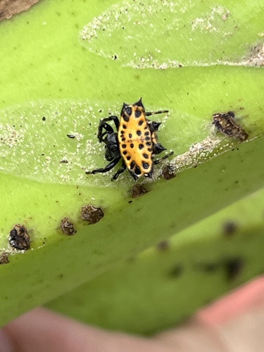
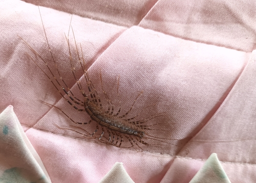
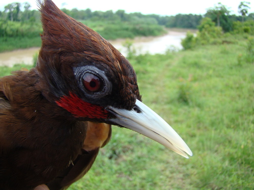
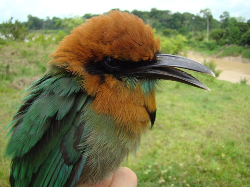
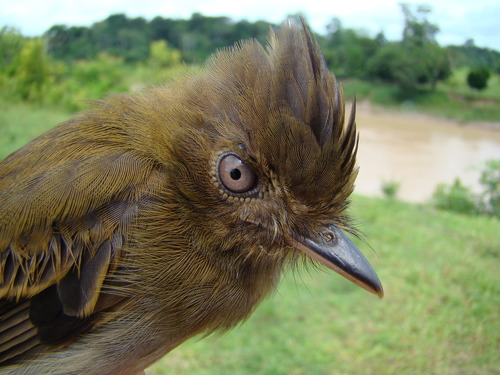
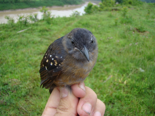
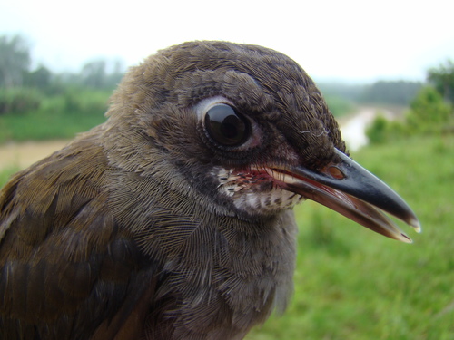
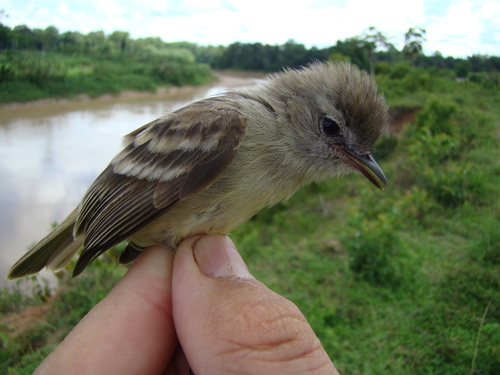
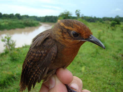
Research-grade observations from iNaturalist (within ~15 mi).
Events
Gallery
Sources
- • Wikipedia
- • Wikidata
- • USGS Earthquake Catalog (global feed)
- • GBIF (Global Biodiversity Information Facility)
- • iNaturalist
- • Open-Meteo / sunrise-sunset.org
- • Wikipedia Pageviews API