Browse / Brazil / São Paulo / Salesópolis
Salesópolis
São Paulotown
Total population
15,202
Founded
1857
Air quality index
Demographic figures from IBGE. Overview below cites Wikipedia and may reference a different year.
City facts
Facts from Wikidata (CC0).
Overview
Set in São Paulo, Brazil, Salesópolis is recorded in open geodata as a town. On the world map it falls within the Western Hemisphere, specifically at -23.529°, -45.847°. Public datasets list a population of roughly 15,202. Based on its subtropical position, residents likely encounter hot summers and mild winters typical of the subtropics. Open-data panels below dive into population trends, climate normals, environmental indicators and nearby places.
Summary composed automatically from structured open data on this page. See our Terms for details.
History & geography
Geography
The boundaries of Salesópolis are Santa Branca to the north, Paraibuna to the northeast, Caraguatatuba to the east, São Sebastião to the southeast, Bertioga to the south, Biritiba-Mirim to the west, and Guararema to the northwest. The Upper Tietê River Basin covers nearly the same area as the Metropolitan Region of Greater São Paulo, with a total area of about , and is composed of 34 municipalities. Salesópolis, located within this basin and about from the state capital, has an area of approximately , with 98% of its territory lying within the Protection and Recovery Area of Water Sources (APRM-ATC). The region’s terrain is characterised by hills and rolling uplands, with altitudes ranging from roughly , and the Serra do Mar mountain range standing out in the southern, southeastern, and southwestern parts of the area. Floodplains can be found along the lower stretches of the rivers. The Tietê River Basin has two main tributaries. The Claro River, whose basin was expropriated by the state government, flows into the Tietê River, and its waters are dammed by the Ponte Nova Reservoir. The Paraitinga River rises in Paraibuna, passes through urban areas, and flows into the Tietê River in the municipality of Biritiba Mirim. The Tietê River is the main source of public water supply for the Metropolitan Region of São Paulo. Its source lies at an altitude of around , among the crystalline rocks of the Atlantic Plateau, in the district of Pedra Rajada, springing from several natural springs emerging from a sandy layer.
Excerpted from the corresponding Wikipedia article (CC BY-SA).
Geography
Coordinates & boundaries from the US Census TIGER/Line shapefiles.
Climate
Air quality
Current readings from Open-Meteo Air Quality API (Copernicus CAMS European reanalysis).
Walkability
Amenities nearby
Wildlife & biodiversity
Most-observed species
- Sayaca TanagerThraupis sayaca (Linnaeus, 1766) · Aves2,156
- Great KiskadeePitangus sulphuratus (Linnaeus, 1766) · Aves2,021
- Rufous-browed PeppershrikeCyclarhis gujanensis (Gmelin, 1789) · Aves1,937
- Ruddy Ground-DoveColumbina talpacoti (Temminck, 1810) · Aves1,813
- Picazuro PigeonPatagioenas picazuro (Temminck, 1813) · Aves1,812
- Rufous-bellied ThrushTurdus rufiventris Vieillot, 1818 · Aves1,747
- Ruby-crowned TanagerTachyphonus coronatus (Vieillot, 1822) · Aves1,715
- Rufous-collared SparrowZonotrichia capensis (P.L.S.Müller, 1776) · Aves1,702
Citizen-science & research observations from the Global Biodiversity Information Facility (GBIF).
Earthquake history
Events from the USGS Earthquake Catalog (global) (FDSN Event Web Service).
Photos
Sights & places nearby
Notable people from here
People born within ~10 km, from Wikidata (CC0). Click any name for their Wikipedia article.
Geography & sun
Nearby airports
Public attention
Books about this place
Recent natural events nearby
Ground air-quality sensors
Recently spotted species
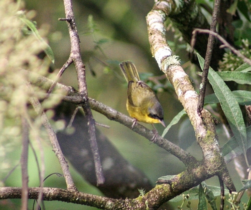
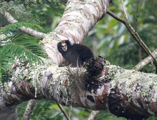
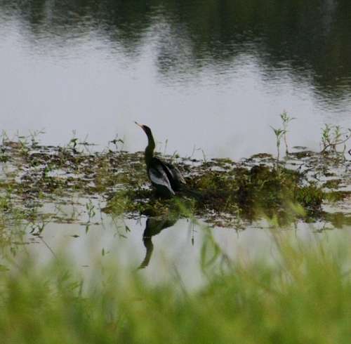
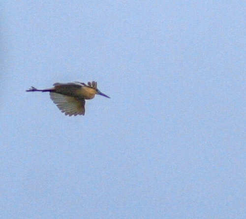
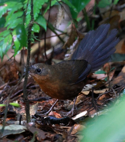
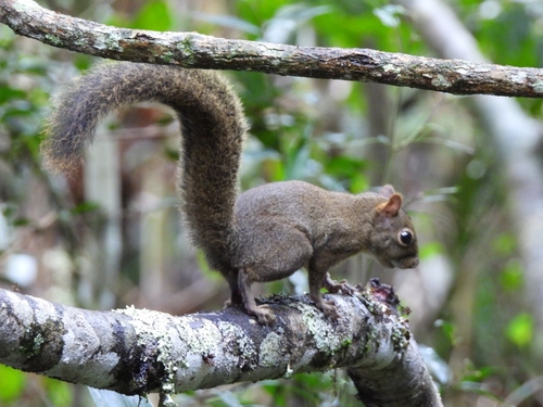
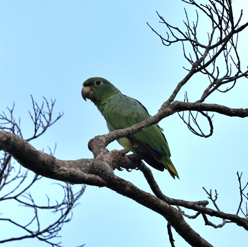
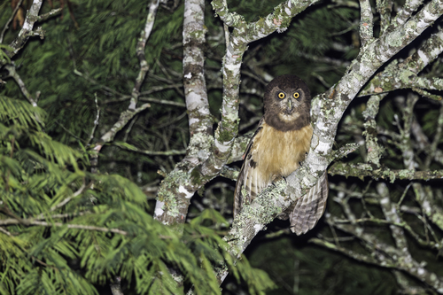
Research-grade observations from iNaturalist (within ~15 mi).
Events
Gallery
Official Identifiers
IBGE — Brazilian Institute of Geography and Statistics
- IBGE code
- 3545001
- UF
- SP
- Mesorregião
- Metropolitana de São Paulo
- Microrregião
- Mogi das Cruzes
servicodados.ibge.gov.br
Sources
- • Wikipedia
- • Wikidata
- • Open-Meteo Air Quality (CAMS)
- • USGS Earthquake Catalog (global feed)
- • GBIF (Global Biodiversity Information Facility)
- • iNaturalist
- • IBGE — Brazilian national statistics, via servicodados.ibge.gov.br (official municipal code, UF, mesorregião, microrregião, region)
- • IBGE — Brazilian Institute of Geography and Statistics — servicodados.ibge.gov.br