Browse / Brazil / Espírito Santo / Santa Leopoldina
Santa Leopoldina
Espírito Santotown

Santa Leopoldina
Total population
13,106
Founded
1887
Demographic figures from IBGE. Overview below cites Wikipedia and may reference a different year.
City facts
Facts from Wikidata (CC0).
Overview
Santa Leopoldina is a municipality in central Espírito Santo, Brazil. Its population was 12,885 (2015) and its area is 718.1 km2 (277.3 sq mi). It is 16 meters above sea level, and is located 44 km from the state capital of Vitória.
Read more on WikipediaHistory & geography
History
Santa Leopoldina was founded in 1856 by around 60 Swiss immigrants who came up the Santa Maria River, closely followed in 1857 by roughly 200 immigrants from Germany and Luxembourg. The old extended version of the name, "Cachoeiro de Santa Leopoldina", was given in 1860 by the emperor Pedro II, in honour of his mother Maria Leopoldina, Archduchess of Austria. During the 19th century the town was, for a period, the biggest commercial centre of the state, but its influence declined after the arrival of roads which took traffic away from the river, which was then the town's biggest advantage. Santa Maria River was navigable right through to the Atlantic from this point. The first highway (rodovia) in the state was built between Santa Leopoldina and Santa Teresa and was completed in 1918, which was extended to Vitória in 1924. Cachoeiro de Santa Leopoldina first became a municipality in 1887 and dropped "Cachoeiro de" (Portuguese for waterfall of) from its name in 1943. In 1890 Santa Teresa separated from Santa Leopoldina, and in 1988 Santa Maria de Jetibá also separated, leaving a much smaller area under its power.
Excerpted from the corresponding Wikipedia article (CC BY-SA).
Geography
Coordinates & boundaries from the US Census TIGER/Line shapefiles.
Climate
10-year averages from ERA5 reanalysis (Open-Meteo).
Air quality
Walkability
Amenities nearby
Wildlife & biodiversity
Most-observed species
- Saffron FinchSicalis flaveola (Linnaeus, 1766) · Aves193
- Sombre HummingbirdEupetomena cirrochloris (Vieillot, 1818) · Aves184
- Violet-capped WoodnymphThalurania glaucopis (J.F.Gmelin, 1788) · Aves181
- Versicolored EmeraldChrysuronia versicolor (Vieillot, 1818) · Aves170
- Great KiskadeePitangus sulphuratus (Linnaeus, 1766) · Aves166
- White-throated HummingbirdLeucochloris albicollis (Vieillot, 1818) · Aves161
- Black JacobinFlorisuga fusca (Vieillot, 1817) · Aves159
- Frilled CoquetteLophornis magnificus (Vieillot, 1817) · Aves158
Citizen-science & research observations from the Global Biodiversity Information Facility (GBIF).
Earthquake history
Events from the USGS Earthquake Catalog (global) (FDSN Event Web Service).
Photos
Sights & places nearby
Notable people from here
Nearby places in Espírito Santo
Geography & sun
Elevation, sunrise/sunset and daylight from Open-Meteo. Solar climatology from NASA POWER.
Nearby airports
Public attention
Pageview totals from the Wikimedia Pageviews API.
Books about Santa Leopoldina
Search results from Open Library.
Recent natural events nearby
Ground air-quality sensors
Recently spotted species
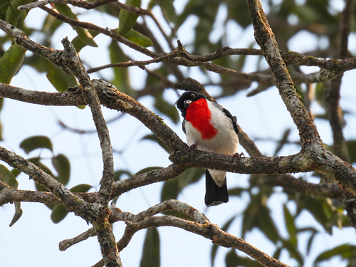
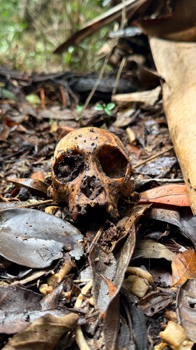
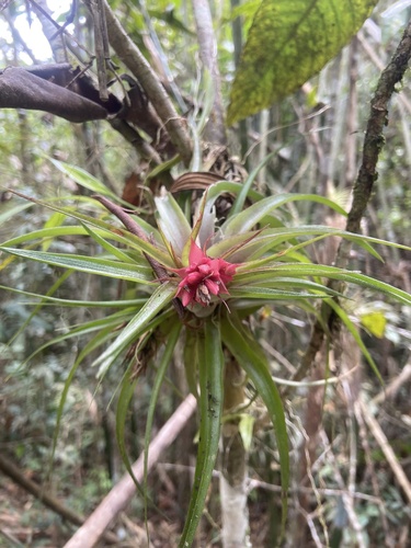
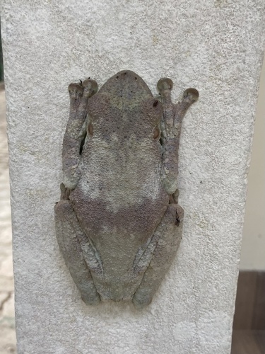
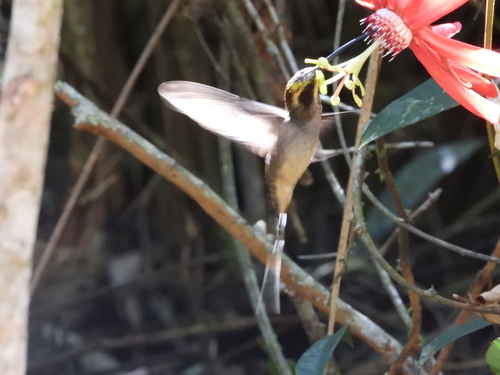
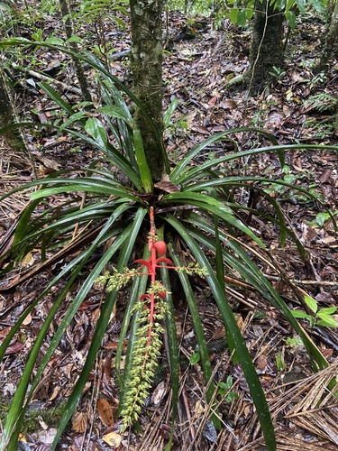
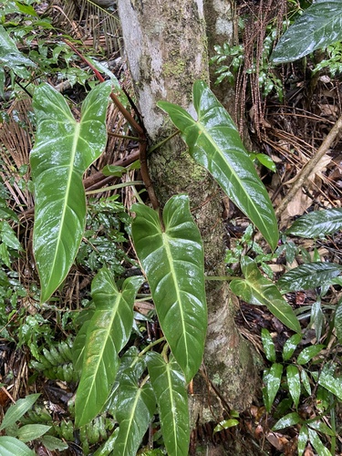
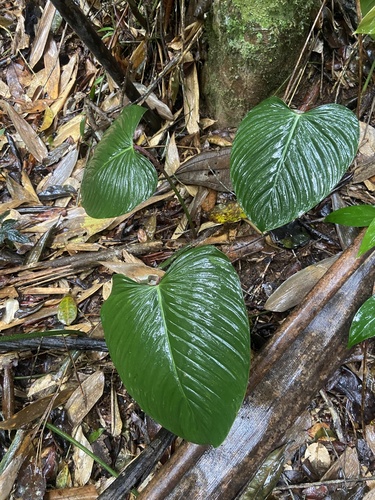
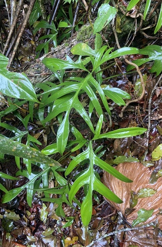
Research-grade observations from iNaturalist (within ~15 mi).
Events
Gallery
Official Identifiers
IBGE — Brazilian Institute of Geography and Statistics
- IBGE code
- 3204500
- UF
- ES
- Mesorregião
- Central Espírito-santense
- Microrregião
- Santa Teresa
servicodados.ibge.gov.br
Sources
- • Wikipedia
- • Open-Meteo (ERA5 reanalysis)
- • Wikidata
- • USGS Earthquake Catalog (global feed)
- • GBIF (Global Biodiversity Information Facility)
- • iNaturalist
- • Open-Meteo / sunrise-sunset.org
- • Wikipedia Pageviews API
- • Open Library
- • IBGE — Brazilian national statistics, via servicodados.ibge.gov.br (official municipal code, UF, mesorregião, microrregião, region)
- • IBGE — Brazilian Institute of Geography and Statistics — servicodados.ibge.gov.br