Browse / Brazil / Paraíba / Santana de Mangueira
Santana de Mangueira
Paraíbavillage
Total population
5,010
Demographic figures from IBGE. Overview below cites Wikipedia and may reference a different year.
City facts
Facts from Wikidata (CC0).
Overview
Santana de Mangueira is a municipality in the state of Paraíba in the Northeast Region of Brazil.
Read more on WikipediaHistory & geography
Geography
Coordinates & boundaries from the US Census TIGER/Line shapefiles.
Climate
Air quality
Walkability
Amenities nearby
Wildlife & biodiversity
Most-observed species
- Ambonus electus (Gahan, 1904)Ambonus electus (Gahan, 1904) · Insecta1
- Synanthropic spiderCithaeron praedonius O.Pickard-Cambridge, 1872 · Arachnida1
- Mimosa tenuiflora (Willd.) Poir.Mimosa tenuiflora (Willd.) Poir. · Magnoliopsida1
- Bellyache bush, Black physicnut, Cotton-leaf physicnut, American purging nut, Cotton-leaf jatropha, Purging nut, Red fig-nut flower, Wild cassavaJatropha gossypiifolia L. · Magnoliopsida1
- Rothschildia prionia Rothschild, 1907Rothschildia prionia Rothschild, 1907 · Insecta1
- Amazon RecluseLoxosceles amazonica Gertsch, 1967 · Arachnida1
- RockweedPilea microphylla (L.) Liebm. · Magnoliopsida1
- Cosmopolitan House GeckoHemidactylus mabouia (Moreau De Jonnès, 1818) · Squamata1
Citizen-science & research observations from the Global Biodiversity Information Facility (GBIF).
Earthquake history
Events from the USGS Earthquake Catalog (global) (FDSN Event Web Service).
Photos
Sights & places nearby
Notable people from here
People born within ~10 km, from Wikidata (CC0). Click any name for their Wikipedia article.
Nearby places in Paraíba
- Curral Velho9.6 mi away · pop. 2,292
- Diamante10 mi away · pop. 6,299
- Barra do Oitis11.4 mi away
- Conceição11.6 mi away · pop. 18,260
- Montevidéo14.7 mi away
- Manaíra16.5 mi away · pop. 10,434
- Pelo Sinal16.5 mi away
- Gomes16.6 mi away
- Pedra Branca20.2 mi away · pop. 3,739
- Viana20.7 mi away
- Itaporanga21.3 mi away · pop. 23,940
- Patos de Irerê22.6 mi away
Geography & sun
Elevation, sunrise/sunset and daylight from Open-Meteo. Solar climatology from NASA POWER.
Nearby airports
Public attention
Pageview totals from the Wikimedia Pageviews API.
Books about this place
Recent natural events nearby
Ground air-quality sensors
Recently spotted species
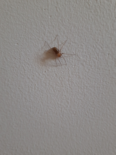
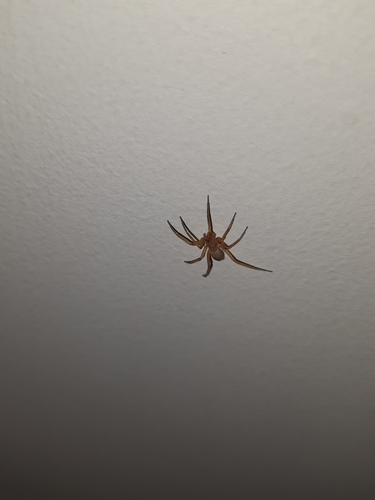
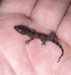
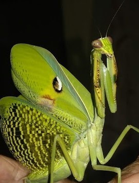
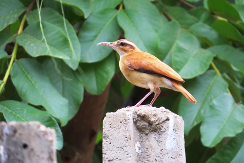

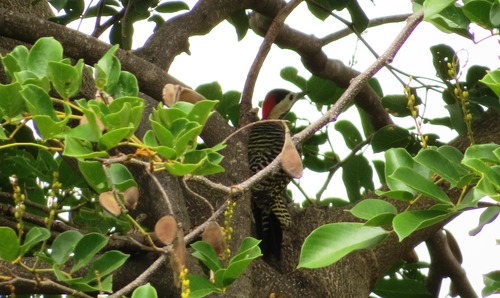
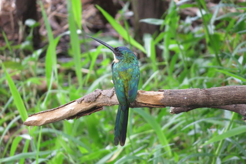
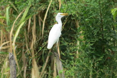
Research-grade observations from iNaturalist (within ~15 mi).
Events
Gallery
Official Identifiers
IBGE — Brazilian Institute of Geography and Statistics
- IBGE code
- 2513505
- UF
- PB
- Mesorregião
- Sertão Paraibano
- Microrregião
- Itaporanga
servicodados.ibge.gov.br
Sources
- • Wikipedia
- • Wikidata
- • USGS Earthquake Catalog (global feed)
- • GBIF (Global Biodiversity Information Facility)
- • iNaturalist
- • Open-Meteo / sunrise-sunset.org
- • Wikipedia Pageviews API
- • IBGE — Brazilian national statistics, via servicodados.ibge.gov.br (official municipal code, UF, mesorregião, microrregião, region)
- • IBGE — Brazilian Institute of Geography and Statistics — servicodados.ibge.gov.br