Browse / Brazil / Alagoas / Santana do Mundaú
Santana do Mundaú
Alagoastown

Santana do Mundaú
Total population
11,323
Demographic figures from IBGE. Overview below cites Wikipedia and may reference a different year.
City facts
Facts from Wikidata (CC0).
Overview
Santana do Mundaú is a municipality located in the Brazilian state of Alagoas. Its population peaked at 11,235 in 2005 and was 10,687 in 2020. Its area is 224 square kilometres (86 sq mi).
Read more on WikipediaHistory & geography
Geography
Coordinates & boundaries from the US Census TIGER/Line shapefiles.
Climate
Air quality
Walkability
Amenities nearby
Wildlife & biodiversity
Most-observed species
- Wattled JacanaJacana jacana (Linnaeus, 1766) · Aves66
- White-browed MeadowlarkSturnella superciliaris (Bonaparte, 1850) · Aves40
- Roadside HawkRupornis magnirostris (Gmelin, 1788) · Aves38
- Lesser Yellow-headed VultureCathartes burrovianus Cassin, 1845 · Aves36
- White-headed Marsh TyrantArundinicola leucocephala (Linnaeus, 1764) · Aves33
- Cattle EgretBubulcus ibis (Linnaeus, 1758) · Aves32
- Seven-colored TanagerTangara fastuosa (R.Lesson, 1831) · Aves32
- Brazilian TealAmazonetta brasiliensis (J.F.Gmelin, 1789) · Aves32
Citizen-science & research observations from the Global Biodiversity Information Facility (GBIF).
Earthquake history
Events from the USGS Earthquake Catalog (global) (FDSN Event Web Service).
Photos
Sights & places nearby
Notable people from here
Nearby places in Alagoas
- Brejo Queimado2.2 mi away
- Cigarra3.2 mi away
- Barro Branco4.1 mi away
- Lameiro5.5 mi away
- Ariado5.7 mi away
- Serra do Cachorro7.7 mi away
- Rocha Cavalcante11.5 mi away
- Viçosa14.1 mi away · pop. 23,972
- Cajueiro16.5 mi away · pop. 16,359
- Pindoba21.5 mi away · pop. 2,731
- Fazenda Corumbá21.5 mi away · pop. 50
- Chã da Jaqueira22.5 mi away · pop. 700
Geography & sun
Elevation, sunrise/sunset and daylight from Open-Meteo. Solar climatology from NASA POWER.
Nearby airports
Public attention
Pageview totals from the Wikimedia Pageviews API.
Books about this place
Recent natural events nearby
Ground air-quality sensors
Recently spotted species
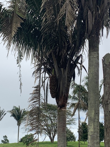
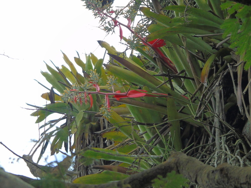
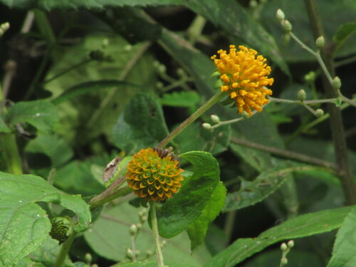
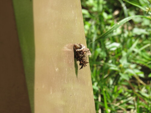
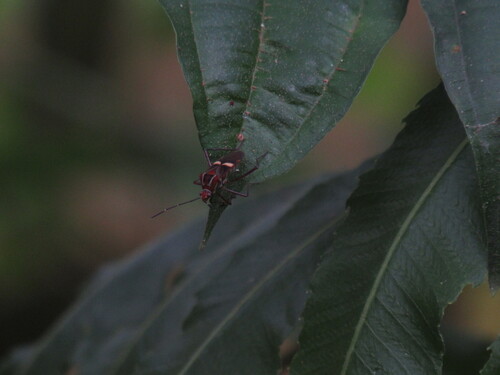
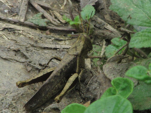
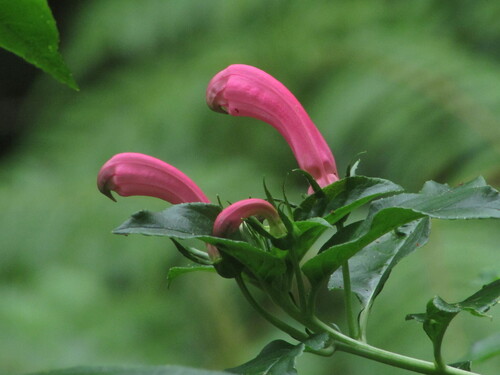
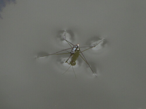
Research-grade observations from iNaturalist (within ~15 mi).
Events
Gallery
Official Identifiers
IBGE — Brazilian Institute of Geography and Statistics
- IBGE code
- 2708105
- UF
- AL
- Mesorregião
- Leste Alagoano
- Microrregião
- Serrana dos Quilombos
servicodados.ibge.gov.br
Sources
- • Wikipedia
- • Wikidata
- • USGS Earthquake Catalog (global feed)
- • GBIF (Global Biodiversity Information Facility)
- • iNaturalist
- • Open-Meteo / sunrise-sunset.org
- • Wikipedia Pageviews API
- • IBGE — Brazilian national statistics, via servicodados.ibge.gov.br (official municipal code, UF, mesorregião, microrregião, region)
- • IBGE — Brazilian Institute of Geography and Statistics — servicodados.ibge.gov.br