Browse / Brazil / São Paulo / São José do Rio Preto
São José do Rio Preto
São Paulocity

São José do Rio Preto
Total population
480,393
Founded
1852
Air quality index
Demographic figures from IBGE. Overview below cites Wikipedia and may reference a different year.
City facts
Facts from Wikidata (CC0).
Overview
São José do Rio Preto is a municipality in the state of São Paulo, Brazil. It is located in the north/northwest region of the state, approximately 445 km (277 mi) from the city of São Paulo and 700 km (430 mi) from Brasília. With a population of 504,166 inhabitants, by the 2025 estimative of the IBGE, it is the 10th largest city in São Paulo and the 48th largest in Brazil. It has an area of 431.30 km2; the urban area, with 124.79 km2, is the 7th largest in the state and the 30th largest in the country. By the 2022 IBGE census, the city had a population of 480,383 inhabitants, with a population density of 1,112.7 people/km2.
Read more on WikipediaHistory & geography
History
Prior to the 19th century, the region of São José do Rio Preto was inhabited by the Kaingang indigenous people. Over time, their numbers gradually declined as a result of migration, exploratory expeditions known as "bandeiras" and miscegenation with other groups. The city was established on March 19, 1852, by João Bernardino de Seixas Ribeiro, a migrant from Minas Gerais. Luiz Antônio da Silveira, a local farmer, generously contributed a portion of his land to establish the new city as a tribute to the patron saint, Saint Joseph. The municipality of São José do Rio Preto was officially founded in 1894 and the territory ceased to be a part of Jaboticabal; it was a large territory, limited by the rivers Paraná, Grande, Tietê and Turvo, comprising approximately 26,000 km2 of land. The railway reached the city in 1912, following the expansion of the Araraquarense Railway (Estrada de Ferro Araraquara). After the completion, the railway played a crucial role in the development of the city; it transformed the city into a terminal point of railroad transport, of people abroad and agricultural products of Rio Preto and neighboring cities, turning Rio Preto, in 1929, into a growing urban core with circa 27,800 inhabitants In 1943, the Dr. Fernando Costa Municipal Public Library was inaugurated and on July 19, 1944, the Municipal Market was inaugurated, still in operation. In January 1973, the Humberto Sinibaldi Neto Municipal Theater was inaugurated; also in 1973, the construction of the new Cathedral of Saint Joseph began, now the seat of the Archdiocese of São José do Rio Preto. On July 19, 1980, in the second term of mayor Adail Vetorazzo, the actual building of the Dr. Fernando Costa Municipal Public Library was inaugurated. The name São José do Rio Preto is…
Geography
São José do Rio Preto is located in the north/northwest part of the state of São Paulo in a region between the rivers Grande, Paraná and Tietê. The ecological makeup of the region blends elements of the Cerrado (Brazilian savanna) with remnants of the Atlantic Forest. In terms of topography, the area is characterized by gently rolling hills, with an average elevation of . The city has two educational ecological parks: the Educational Ecological Park “Danilo Santos De Miranda” and the Educational Ecological Park “Dr. Joaquim de Paula Ribeiro”, wooded areas with walking tracks, children's playgrounds, focused on the appreciation and integration of the environment, leisure and[education. The Municipal Zoo, Zoobotânico Municipal, founded in 1973, counts with a native forest reserve and a zoo with approximately 300 animals of 70 species in an urban area of 14 hectares with remnants of Atlantic Forest and Cerrado vegetation; it safeguards wild animals that are victims of trafficking, run overs and fires, as well as fostering orphaned cubs. São José do Rio Preto is the third city with the highest urban afforestation rate in Brazil; 97.78% of the city's inhabitants lives on streets with trees, according to the 2022 IBGE census. The climate in São José do Rio Preto is classified as tropical (Aw), characterized by hot and rainy summers, as well as mild and dry winters. The average annual temperature is around . The city typically receives an average annual precipitation ranging from . In 2008, the recorded rainfall reached . *North: Ipiguá and Onda Verde *South: Cedral and Bady Bassitt *East: Guapiaçu *West: Mirassol * Southeast side: Engenheiro Schmitt * Northeast side: Talhado
Excerpted from the corresponding Wikipedia article (CC BY-SA).
Geography
Coordinates & boundaries from the US Census TIGER/Line shapefiles.
Climate
10-year averages from ERA5 reanalysis (Open-Meteo).
Air quality
Current readings from Open-Meteo Air Quality API (Copernicus CAMS European reanalysis).
Walkability
Amenities nearby
Wildlife & biodiversity
Most-observed species
- Great KiskadeePitangus sulphuratus (Linnaeus, 1766) · Aves234
- Picazuro PigeonPatagioenas picazuro (Temminck, 1813) · Aves207
- Yellow-chevroned ParakeetBrotogeris chiriri (Vieillot, 1818) · Aves193
- Saffron FinchSicalis flaveola (Linnaeus, 1766) · Aves170
- blue-and-white swallowNotiochelidon cyanoleuca (Vieillot, 1817) · Aves157
- Rufous HorneroFurnarius rufus (Gmelin, 1788) · Aves154
- Southern LapwingVanellus chilensis (Molina, 1782) · Aves149
- white-eyed conureAratinga leucophthalma (Statius Muller, 1776) · Aves144
Citizen-science & research observations from the Global Biodiversity Information Facility (GBIF).
Earthquake history
Events from the USGS Earthquake Catalog (global) (FDSN Event Web Service).
Photos
Sights & places nearby
Notable people from here


People born within ~10 km, from Wikidata (CC0). Click any name for their Wikipedia article.
Nearby places in São Paulo
- Engenheiro Schmitt5.9 mi away
- Bady Bassitt8.6 mi away · pop. 27,260
- Ruilândia12.6 mi away
- Barra Dourada15.3 mi away
- Potirendaba16.1 mi away · pop. 18,496
- Uchoa16.5 mi away · pop. 10,394
- Nova Granada19.6 mi away · pop. 19,419
- Nova Itapirema21 mi away
- Tanabi21.8 mi away · pop. 25,265
- Miraluz21.9 mi away
- Engenheiro Balduíno21.9 mi away
- Termas de Ibirá23.6 mi away · pop. 737
Geography & sun
Elevation, sunrise/sunset and daylight from Open-Meteo. Solar climatology from NASA POWER.
Nearby airports
Public attention
Pageview totals from the Wikimedia Pageviews API.
Books about São José do Rio Preto
Search results from Open Library.
Recent natural events nearby
Ground air-quality sensors
Recently spotted species
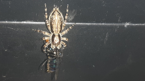
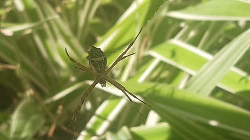


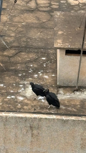
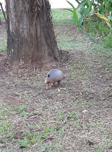
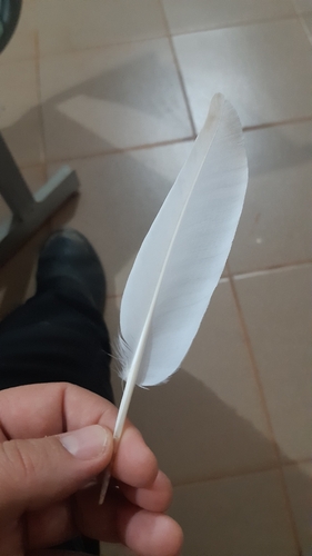
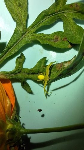
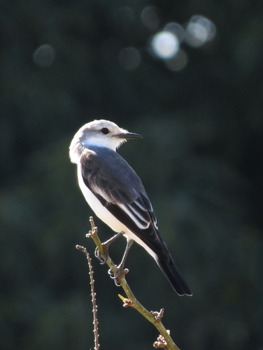
Research-grade observations from iNaturalist (within ~15 mi).
Events
Gallery
Official Identifiers
IBGE — Brazilian Institute of Geography and Statistics
- IBGE code
- 3549805
- UF
- SP
- Mesorregião
- São José do Rio Preto
- Microrregião
- São José do Rio Preto
servicodados.ibge.gov.br
Sources
- • Wikipedia
- • Open-Meteo (ERA5 reanalysis)
- • Wikidata
- • Open-Meteo Air Quality (CAMS)
- • USGS Earthquake Catalog (global feed)
- • GBIF (Global Biodiversity Information Facility)
- • iNaturalist
- • Open-Meteo / sunrise-sunset.org
- • Wikipedia Pageviews API
- • Open Library
- • Wikidata SPARQL (CC0) — population, area, elevation, inception, head of government, Commons image
- • IBGE — Brazilian national statistics, via servicodados.ibge.gov.br (official municipal code, UF, mesorregião, microrregião, region)
- • IBGE — Brazilian Institute of Geography and Statistics — servicodados.ibge.gov.br