Browse / Brazil / Rio Grande do Sul / São José dos Ausentes
São José dos Ausentes
Rio Grande do Sulvillage

São José dos Ausentes
Total population
4,172
Founded
1992
Demographic figures from IBGE. Overview below cites Wikipedia and may reference a different year.
City facts
Facts from Wikidata (CC0).
Overview
São José dos Ausentes is a municipality with an average altitude of 1200 meters, in the state of Rio Grande do Sul, Brazil. Its population was approximately 3,543 in 2020. It has an area of approximately 1176 km². Pico do Monte Negro is located in São José dos Ausentes, with its peak 1403 meters above sea level. It is the highest point in Rio Grande do Sul State. The town is 220 km away from the state's capital, Porto Alegre.
Read more on WikipediaHistory & geography
Geography
São José dos Ausentes features a temperate oceanic climate (type Cfb), It features an annual uniform precipitation. The Annual average temperature is 13 °C The city is one of the coldest in Brazil and snow precipitation is not uncommon.
Excerpted from the corresponding Wikipedia article (CC BY-SA).
Geography
Coordinates & boundaries from the US Census TIGER/Line shapefiles.
Climate
Air quality
Walkability
Amenities nearby
Wildlife & biodiversity
Earthquake history
Photos
Sights & places nearby
Notable people from here


People born within ~10 km, from Wikidata (CC0). Click any name for their Wikipedia article.
Geography & sun
Nearby airports
Public attention
Books about this place
Recent natural events nearby
Ground air-quality sensors
Recently spotted species

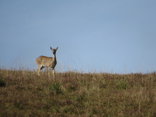
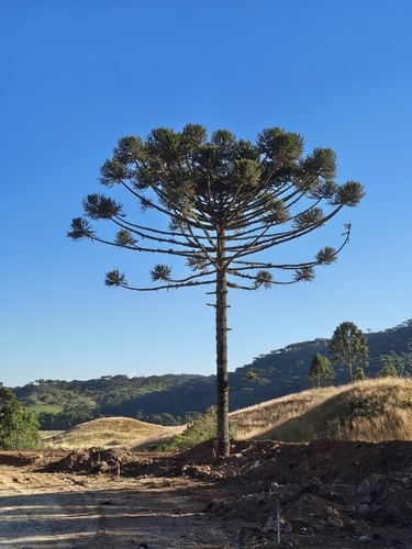
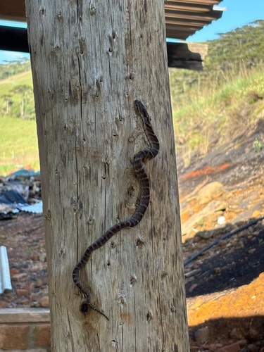


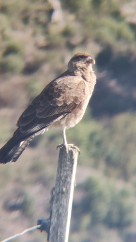
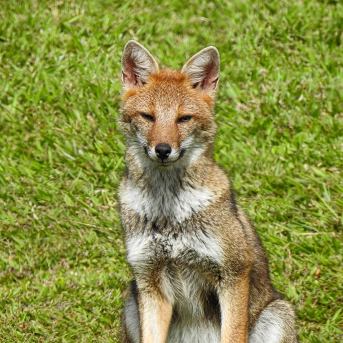
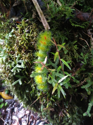
Research-grade observations from iNaturalist (within ~15 mi).
Events
Gallery
Official Identifiers
IBGE — Brazilian Institute of Geography and Statistics
- IBGE code
- 4318622
- UF
- RS
- Mesorregião
- Nordeste Rio-grandense
- Microrregião
- Vacaria
servicodados.ibge.gov.br
Sources
- • Wikipedia
- • Wikidata
- • iNaturalist
- • IBGE — Brazilian national statistics, via servicodados.ibge.gov.br (official municipal code, UF, mesorregião, microrregião, region)
- • IBGE — Brazilian Institute of Geography and Statistics — servicodados.ibge.gov.br