Browse / Brazil / São Paulo / São José dos Campos
São José dos Campos
São Paulocity

São José dos Campos
Total population
697,054
Founded
1767
Demographic figures from IBGE. Overview below cites Wikipedia and may reference a different year.
City facts
Facts from Wikidata (CC0).
Overview
São José dos Campos is a major city and the seat of the municipality of the same name in the state of São Paulo, Brazil. One of the leading industrial and research centers with emphasis in aerospace sciences in Latin America, the city is located in the Paraíba Valley, between the two most active production and consumption regions in the country; São Paulo and Rio de Janeiro. It is the main city of the Metropolitan Region of Vale do Paraíba e Litoral Norte. A native of São José dos Campos is called a joseense. Being the second most populous non-capital city in Brazil – behind Campinas – São José dos Campos lies in the middle of the Expanded Metropolitan Complex, the first megalopolis in the Southern Hemisphere, with over thirty million inhabitants. The city's metro area also includes Greater São Paulo, Campinas, Santos and Sorocaba.
Read more on WikipediaHistory & geography
History
The origins of São José dos Campos lie at the end of the 16th Century when Jesuits founded a cattle farm, Aldeia do Rio Comprido. The farm was created through a concession of settlements around 1590 to the Society of Jesus. The farm was located on the banks of the Rio Comprido, natural division between São José and the city of Jacareí today. The farm status was an artifice to hide a religious outpost, one of the several Jesuit Reductions in Brazil, known for their resistance to enslavement, from the Portuguese expedition leaders and indigenous people hunters, known as the Bandeirantes. On September 10, 1611, the local was officially recognized and the farmers precluded from utilizing the Natives as slaves. However, a turmeric conflict between farmers and the religious led to the expulsion of the Jesuits in 1640 from the region and the consequent dispersion of the mission. Nevertheless, the Jesuits returned and reestablished a new settlement, where the current city center is spotted. It was about northeast of the previous mission, on a higher plain with a privileged view above a geological depression, which guaranteed security against invasions and floods. Again, despite being a new mission, it was officially treated as a cattle farm. The initial urbanization plan is attributed to the Jesuit priest Manoel de Leão, whose main occupation was really to be an administrator of the community. In 1692, documents named the village as Residência do Paraíba do Sul; in 1696 as Residência de São José. At the beginning of the gold mining economic cycle in Brazil, the settlement goes through serious difficulties due to the exit of labor to the mines. After the definitive expulsion of Jesuits from the Portuguese Empire in 1759, all the religious order's assets, such as farms,…
Geography
* total area: **urban area: (32.18%) **rural: (67.82%) *Northern Border: Camanducaia, Sapucaí Mirim in Minas Gerais *Southern Border: Jacareí, Jambeiro in São Paulo State *Eastern Border: Monteiro Lobato, Caçapava in São Paulo State *Western border: Igaratá, Joanópolis, Piracaia in São Paulo State The intense conurbation process has been creating a metropolis whose center city is São José dos Campos, reaching many other municipalities like Jacareí, Taubaté, Aparecida, Caçapava, Guaratinguetá, Campos do Jordão, Caraguatatuba, Pindamonhangaba and Lorena. The Paraíba Valley metropolitan area is currently made up of 39 cities, comprising 2,453,387 inhabitants. The metro area is part of the Expanded Metropolitan Complex, being a megalopolis that connects São Paulo and Rio de Janeiro, encompassing São José dos Campos and Campinas with over 30 million inhabitants in total. The municipality comprises three districts: São José dos Campos — the city itself (also the seat), Eugênio de Melo and São Francisco Xavier. The last one is known for its natural sites and ecotourism. The district of São José dos Campos is also subdivided into 2 subdistricts (São José dos Campos and Santana do Paraíba). However, for administrative purposes, the city is composed of 7 urban regions: Center, North, South, West, East, Southeast and São Francisco Xavier. Highlands predominate in the northern region of the municipality with altitudes ranging from . The northern border of the municipality lies over the Serra da Mantiqueira Mountains (Mantiqueira Range), with some peaks reaching over 2,000 meters (6,562 ft.). The highest point in the municipality is known as 'Pico do Selado' at an altitude of 2082 meters (6,831 ft). In the urban area, there are rolling plateaus and hills.…
Excerpted from the corresponding Wikipedia article (CC BY-SA).
Geography
Coordinates & boundaries from the US Census TIGER/Line shapefiles.
Climate
Air quality
Walkability
Amenities nearby
Wildlife & biodiversity
Most-observed species
- Great KiskadeePitangus sulphuratus (Linnaeus, 1766) · Aves4,996
- white-eyed conureAratinga leucophthalma (Statius Muller, 1776) · Aves3,765
- Sayaca TanagerThraupis sayaca (Linnaeus, 1766) · Aves3,599
- Black VultureCoragyps atratus (Bechstein, 1793) · Aves3,258
- Pale-breasted ThrushTurdus leucomelas Vieillot, 1818 · Aves3,187
- Rock PigeonColumba livia J.F.Gmelin, 1789 · Aves3,165
- Southern House WrenTroglodytes musculus J.F.Naumann, 1823 · Aves3,128
- blue-and-white swallowNotiochelidon cyanoleuca (Vieillot, 1817) · Aves2,713
Citizen-science & research observations from the Global Biodiversity Information Facility (GBIF).
Earthquake history
Events from the USGS Earthquake Catalog (global) (FDSN Event Web Service).
Photos
Sights & places nearby
Notable people from here
Nearby places in São Paulo
- Jardim Mariana II5.4 mi away
- Chácara Boa Esperança6.8 mi away
- Jardim Ebenezer7.3 mi away
- Capão Grosso II7.7 mi away
- Bom Suceso9.6 mi away
- Remedinho9.9 mi away
- São Silvestre de Jacareí14.9 mi away
- Caçapava Velha16 mi away
- Igaratá17.3 mi away · pop. 10,605
- São Francisco Xavier19.5 mi away · pop. 1,443
- Paraibuna19.8 mi away · pop. 17,667
- Guedes24.6 mi away
Geography & sun
Elevation, sunrise/sunset and daylight from Open-Meteo. Solar climatology from NASA POWER.
Nearby airports
Public attention
Pageview totals from the Wikimedia Pageviews API.
Books about São José dos Campos

Search results from Open Library.
Recent natural events nearby
Ground air-quality sensors
Recently spotted species

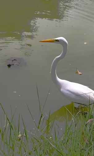
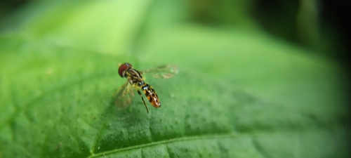

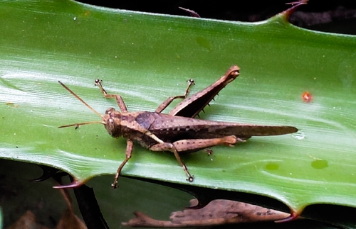
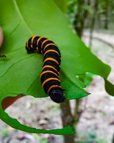
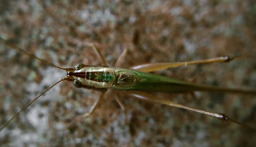
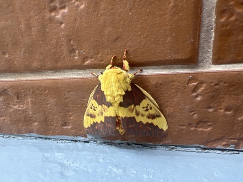
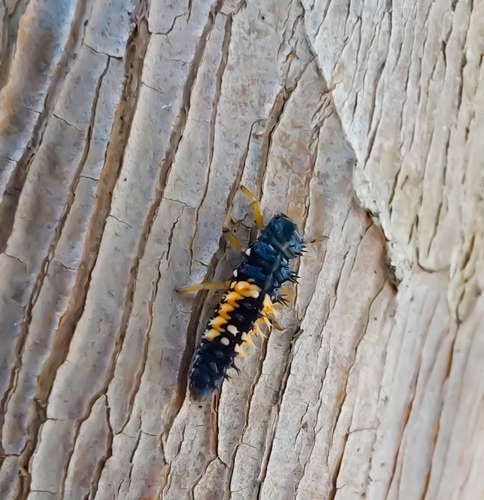
Research-grade observations from iNaturalist (within ~15 mi).
Events
Gallery
Official Identifiers
IBGE — Brazilian Institute of Geography and Statistics
- IBGE code
- 3549904
- UF
- SP
- Mesorregião
- Vale do Paraíba Paulista
- Microrregião
- São José dos Campos
servicodados.ibge.gov.br
Sources
- • Wikipedia
- • Wikidata
- • USGS Earthquake Catalog (global feed)
- • GBIF (Global Biodiversity Information Facility)
- • iNaturalist
- • Open-Meteo / sunrise-sunset.org
- • Wikipedia Pageviews API
- • Open Library
- • Wikidata SPARQL (CC0) — population, area, elevation, inception, head of government, Commons image
- • IBGE — Brazilian national statistics, via servicodados.ibge.gov.br (official municipal code, UF, mesorregião, microrregião, region)
- • IBGE — Brazilian Institute of Geography and Statistics — servicodados.ibge.gov.br