Browse / Brazil / São Paulo / São Paulo
São Paulo
São Paulocity

São Paulo
Total population
11,451,999
Founded
1554
Air quality index
Demographic figures from IBGE. Overview below cites Wikipedia and may reference a different year.
City facts
Sister cities
Facts from Wikidata (CC0).
Overview
São Paulo is the capital city of the state of the same name, as well as the most populous city in Brazil, South America, the Americas, and in both the Western and Southern Hemispheres. The city exerts international influence in commerce, finance, culture, gastronomy, arts, fashion, technology, entertainment and media, having been listed by UNESCO's Creative Cities Network as a "City of Film" and the title of "World Capital of Gastronomy", and by the Globalization and World Cities Research Network (GaWC) as an alpha global city. It is the largest urban area by population outside Asia and the most populous Portuguese-speaking city in the world. The city's name "São Paulo" honors Paul the Apostle and people from the city are known as paulistanos. The city's Latin motto is Non ducor, duco, which translates as "I am not led, I lead".
Read more on WikipediaHistory & geography
History
The region of modern-day São Paulo, originally known as Piratininga plains around the Tietê River, was inhabited by the Tupi people, such as the Tupiniquim, Guaianás, and Guarani. Other tribes also lived in areas that today form the metropolitan region. The region was divided in Caciquedoms (chiefdoms) at the time of encounter with the Europeans. The most notable cacique was Tibiriçá, known for his support for the Portuguese and other European colonists. Among the many indigenous names of places, rivers, neighborhoods, etc., that survive today are Tietê, Ipiranga, Tamanduateí, Anhangabaú, Piratininga, Itaquaquecetuba, Cotia, Itapevi, Barueri, Embu-Guaçu, etc. The Portuguese village of São Paulo dos Campos de Piratininga was marked by the founding of the Colégio de São Paulo de Piratininga on 25 January 1554. The Jesuit college of twelve priests included Manuel da Nóbrega and Spanish priest José de Anchieta. They built a mission on top of a steep hill between the Anhangabaú and Tamanduateí rivers. They first had a small structure built of rammed earth, made by Native Indian workers in their traditional style. The priests wanted to evangelize these Indians who lived in the Plateau region of Piratininga and convert them to Christianity. The site was separated from the coast by the Serra do Mar mountain range, called "Serra Paranapiacaba" by the Indians. The college was named for a Christian saint and its founding on the feast day of the celebration of the conversion of the Apostle Paul of Tarsus. Father José de Anchieta wrote this account in a letter to the Society of Jesus: For the next two centuries, São Paulo developed as a poor and isolated village that survived largely through the cultivation of subsistence crops by the labor of natives. For a long time, São…
Geography
São Paulo is the capital of the most populous state in Brazil, São Paulo, located at latitude 23°33'01 south and longitude 46°38'02 west. The total area of the municipality is , according to the Brazilian Institute of Geography and Statistics (IBGE), being the ninth largest in the state in terms of territorial extension. Of the entire area of the municipality, are urban areas (2015), being the largest urban area in the country. The city is on a plateau placed beyond the Serra do Mar (Portuguese for "Sea Range" or "Coastal Range"), itself a component of the vast region known as the Brazilian Highlands, with an average elevation of around above sea level, although being at a distance of only about from the Atlantic Ocean. The distance is covered by two highways, the Anchieta and the Imigrantes, (see "Transportation" below) that roll down the range, leading to the port city of Santos and the beach resort of Guarujá. Rolling terrain prevails within the urbanized areas of São Paulo except in its northern area, where the Serra da Cantareira Range reaches a higher elevation and a sizable remnant of the Atlantic Rain Forest. The region is seismically stable and no significant activity has ever been recorded. The Tietê River and its tributary, the Pinheiros River, were once important sources of fresh water and leisure for São Paulo. However, heavy industrial effluents and wastewater discharges in the later 20th century caused the rivers to become heavily polluted. A substantial clean-up program for both rivers is underway. Neither river is navigable in the stretch that flows through the city, although water transportation becomes increasingly important on the Tietê river further downstream (near river Paraná), as the river is part of the River Plate basin. No large…
Excerpted from the corresponding Wikipedia article (CC BY-SA).
Geography
Coordinates & boundaries from the US Census TIGER/Line shapefiles.
Climate
10-year averages from ERA5 reanalysis (Open-Meteo).
Air quality
Current readings from Open-Meteo Air Quality API (Copernicus CAMS European reanalysis).
Walkability
Amenities nearby
Wildlife & biodiversity
Most-observed species
- Great KiskadeePitangus sulphuratus (Linnaeus, 1766) · Aves36,214
- Sayaca TanagerThraupis sayaca (Linnaeus, 1766) · Aves32,800
- Plain ParakeetBrotogeris tirica (Gmelin, 1788) · Aves32,011
- Rufous-bellied ThrushTurdus rufiventris Vieillot, 1818 · Aves31,373
- BananaquitCoereba flaveola (Linnaeus, 1758) · Aves27,000
- Rock PigeonColumba livia J.F.Gmelin, 1789 · Aves24,815
- Black VultureCoragyps atratus (Bechstein, 1793) · Aves20,300
- Ruddy Ground-DoveColumbina talpacoti (Temminck, 1810) · Aves18,143
Citizen-science & research observations from the Global Biodiversity Information Facility (GBIF).
Earthquake history
Events from the USGS Earthquake Catalog (global) (FDSN Event Web Service).
Photos
Sights & places nearby
Notable people from here


People born within ~10 km, from Wikidata (CC0). Click any name for their Wikipedia article.
Nearby places in São Paulo
- Jardim Copacabana13.1 mi away
- Morro do índio13.2 mi away
- Vila Gilda14.2 mi away
- Chácara Santa Maria14.2 mi away
- Jardim São Lourenço14.4 mi away
- Cidade Ipava14.5 mi away
- Jardim Aracati14.8 mi away
- Jardim Idemori14.8 mi away
- Embu das Artes15.5 mi away · pop. 250,691
- Jardim São Pedro15.7 mi away
- Cajamar20.5 mi away · pop. 92,689
- Vila Roschel20.5 mi away
Geography & sun
Elevation, sunrise/sunset and daylight from Open-Meteo. Solar climatology from NASA POWER.
Nearby airports
Public attention
Pageview totals from the Wikimedia Pageviews API.
Books about São Paulo

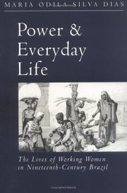
Search results from Open Library.
Recent natural events nearby
Ground air-quality sensors
Recently spotted species
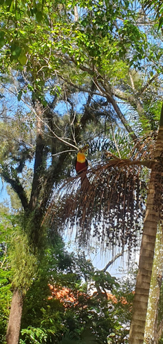
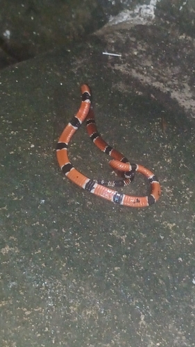
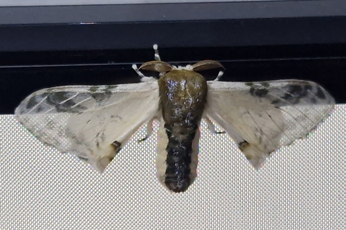
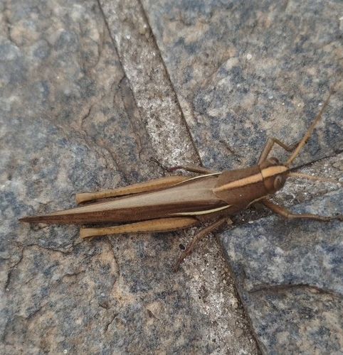
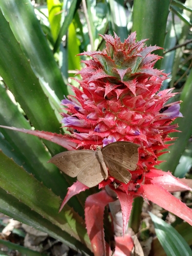
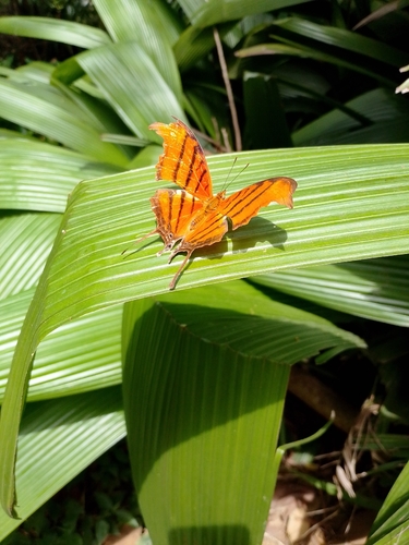
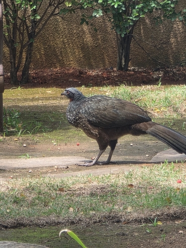
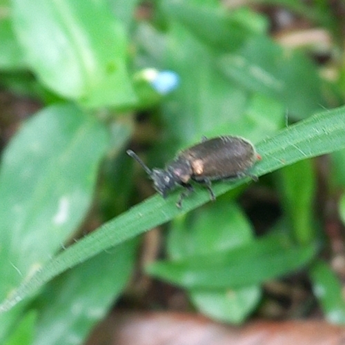
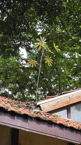
Research-grade observations from iNaturalist (within ~15 mi).
Events
Notable, recurring, and historical events associated with São Paulo, sourced from Wikidata.
- Q85877869Jan 1, 2020award ceremony
- Meus Prêmios Nick 2019Oct 16, 2019award ceremony
- Q56352237Nov 7, 2018award ceremony
- Q28679488Jan 1, 2016award ceremony
- Sep 1, 2015
- Q20050099Jan 1, 2015award ceremony
- Q18475417Jan 1, 2014award ceremony
- Troféu Internet de 2012Mar 25, 2012award ceremony
- Q10329375Jan 1, 2012award ceremony
- Troféu Internet de 2009Mar 28, 2009award ceremony
- 2008 Pan American Wushu ChampionshipsJul 16, 2008sporting event
7th edition of the Pan American Wushu Championships
- Troféu Internet de 2008Mar 9, 2008award ceremony
- Troféu Internet de 2007May 6, 2007award ceremony
- Troféu Internet de 2003Jan 1, 2003award ceremony
- Q10329372Jan 1, 2000award ceremony
- Q16606731Jan 1, 2000award ceremony
- Troféu Imprensa de 1994Jan 1, 1994award ceremony
- Apr 21, 1963
- swimming at the 1963 Pan American Games – women's 200 metre freestyleJan 1, 1963sporting event
international sporting event
- swimming at the 1963 Pan American Games – women's 400 metre freestyleJan 1, 1963sporting event
international sporting event
Source: Wikidata (CC0).
Gallery
Geotagged photos within ~6 miles of São Paulo, from Wikimedia Commons contributors.


.jpg)

.jpg)
.jpg)
.jpg)
.jpg)
.jpg)
.jpg)
.jpg)
.jpg)
.jpg)
.jpg)
.jpg)
.jpg)

.jpg)
.jpg)


.jpeg)
.jpeg)
.jpeg)
Photos via Wikimedia Commons — see each image page for license & attribution.
Official Identifiers
IBGE — Brazilian Institute of Geography and Statistics
- IBGE code
- 3550308
- UF
- SP
- Mesorregião
- Metropolitana de São Paulo
- Microrregião
- São Paulo
servicodados.ibge.gov.br
Sources
- • Wikipedia
- • Open-Meteo (ERA5 reanalysis)
- • Wikimedia Commons
- • Wikidata
- • Open-Meteo Air Quality (CAMS)
- • USGS Earthquake Catalog (global feed)
- • GBIF (Global Biodiversity Information Facility)
- • iNaturalist
- • Open-Elevation
- • Open-Meteo / sunrise-sunset.org
- • Wikipedia Pageviews API
- • Open Library
- • Wikidata SPARQL (CC0) — population, area, elevation, inception, head of government, Commons image
- • IBGE — Brazilian national statistics, via servicodados.ibge.gov.br (official municipal code, UF, mesorregião, microrregião, region)
- • IBGE — Brazilian Institute of Geography and Statistics — servicodados.ibge.gov.br