Browse / Brazil / Minas Gerais / Sete Lagoas
Sete Lagoas
Minas Geraiscity

Sete Lagoas
Total population
227,397
Founded
1880
Air quality index
Demographic figures from IBGE. Overview below cites Wikipedia and may reference a different year.
City facts
Facts from Wikidata (CC0).
Overview
Sete Lagoas is a city in the Brazilian state of Minas Gerais. The municipal area is 537 km2 while the population was 238,909 in 2025.
Read more on WikipediaHistory & geography
History
Evidence of pre-Columbian presence has been found in the Gruta Rei do Mato (Cave of the Forest King). From around 1700, colonists entered Minas Gerais in search of gold, gems and diamonds. Nowadays, the Santa Luzia quarter is unofficially still called "o garimpo" (meaning "the goldmine"). Between 1780 and 1867, the name 'Sete Lagoas' was used for several regional types of administrations. The municipality of Sete Lagoas was founded in 1867. Although "Sete Lagoas" means "Seven Lakes", there are currently more than seven lakes in Sete Lagoas (10 within the urban perimeter, 17 in the municipality). Some were dug out while others became part of the town when the town expanded. There are, however, 7 'official' lakes according to a municipal law from 1989. These are: Lagoa da Boa Vista, Lagoa da Catarina, Lagoa da Chácara, Lagoa do Cercadinho, Lagoa José Felix, Lagoa do Matadouro and Lagoa Paulino.
Geography
Sete Lagoas is situated about 70 kilometres from Belo Horizonte, the capital of Minas Gerais. The BR 040 motorway connects Sete Lagoas with Belo Horizonte and the national capital Brasília. The altitude is 761 metres above sea level. It is surrounded by the following municipalities: Araçaí, Funilândia, Prudente de Morais, Capim Branco, Esmeraldas, Inhaúma, Paraopeba, and Caetanópolis. According to data from the meteorological station of the municipality, the average temperature of the city between the years 1961 to 1990 was 20.9 °C. The coldest month (July) had an average of 17.5 °C while the hottest month (February) had an average of 23.0 °C. The four lowest temperature records at the Sete Lagoas meteorological station were as follows: 0.8 °C on July 18, 1926; 1.3 °C on October 31, 1942; 1.5 °C on June 26, 1937 and also on May 8, 1942. *Montes Claros: 355 km. *Uberaba: 521 km. *Uberlândia: 582 km. *Três Marias: 202 km. *Governador Valadares: 383 km. *Juiz de Fora: 331 km. *Funilândia: 28 km. Sete Lagoas is also a statistical micro-region with 20 municipalities: Araçaí, Baldim, Cachoeira da Prata, Caetanópolis, Capim Branco, Cordisburgo, Fortuna de Minas, Funilândia, Inhaúma, Jaboticatubas, Jequitibá, Maravilhas, Matozinhos, Papagaios, Paraopeba, Pequi, Prudente de Morais, Santana de Pirapama, Santana do Riacho, and Sete Lagoas. In 2000 the population of this area was 341,568 inhabitants in a total area of 8,560.40;km².
Excerpted from the corresponding Wikipedia article (CC BY-SA).
Geography
Coordinates & boundaries from the US Census TIGER/Line shapefiles.
Climate
Air quality
Current readings from Open-Meteo Air Quality API (Copernicus CAMS European reanalysis).
Walkability
Amenities nearby
Wildlife & biodiversity
Most-observed species
- Picazuro PigeonPatagioenas picazuro (Temminck, 1813) · Aves106
- Saffron FinchSicalis flaveola (Linnaeus, 1766) · Aves90
- Ruddy Ground-DoveColumbina talpacoti (Temminck, 1810) · Aves82
- Great KiskadeePitangus sulphuratus (Linnaeus, 1766) · Aves80
- Black VultureCoragyps atratus (Bechstein, 1793) · Aves72
- Pale-breasted ThrushTurdus leucomelas Vieillot, 1818 · Aves68
- Blue-black GrassquitVolatinia jacarina (Linnaeus, 1766) · Aves66
- blue-and-white swallowNotiochelidon cyanoleuca (Vieillot, 1817) · Aves63
Citizen-science & research observations from the Global Biodiversity Information Facility (GBIF).
Earthquake history
Events from the USGS Earthquake Catalog (global) (FDSN Event Web Service).
Photos
Sights & places nearby
Notable people from here
Geography & sun
Elevation, sunrise/sunset and daylight from Open-Meteo. Solar climatology from NASA POWER.
Nearby airports
Public attention
Pageview totals from the Wikimedia Pageviews API.
Books about Sete Lagoas
Search results from Open Library.
Recent natural events nearby
Ground air-quality sensors
Recently spotted species
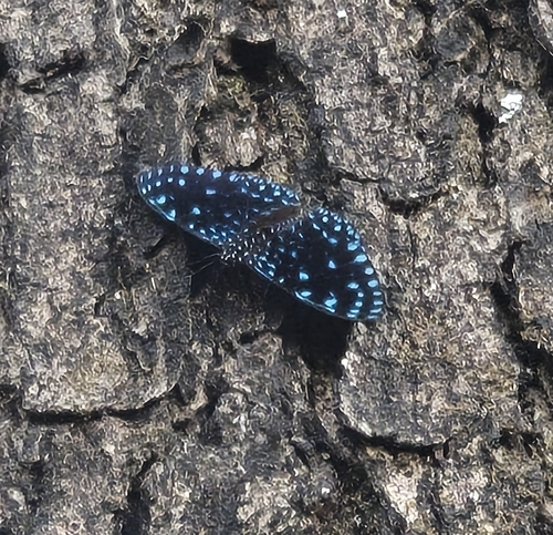
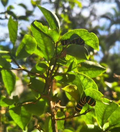
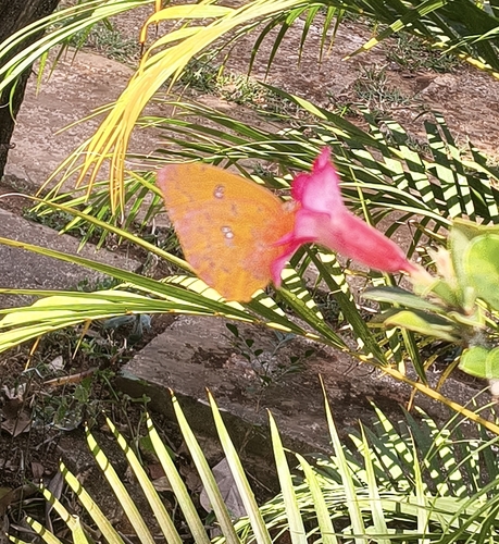
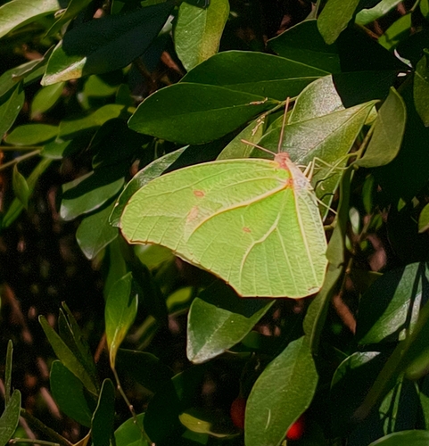
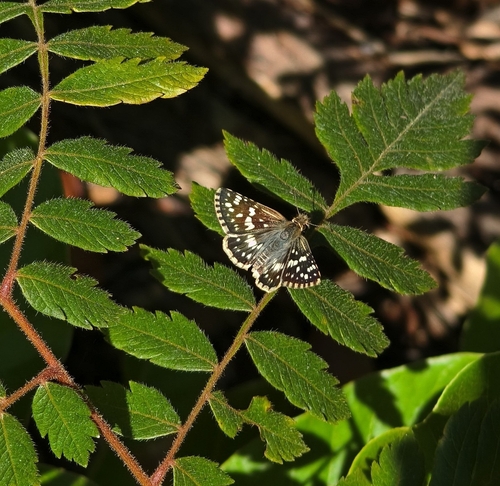
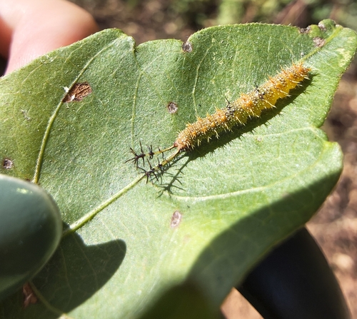
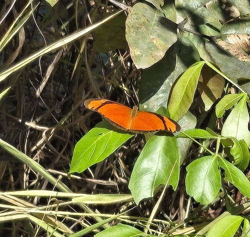
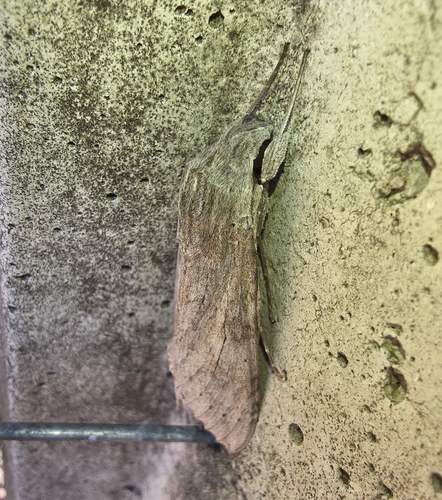
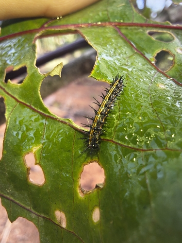
Research-grade observations from iNaturalist (within ~15 mi).
Events
Gallery
Geotagged photos within ~6 miles of Sete Lagoas, from Wikimedia Commons contributors.
 0.1 mi
 0.1 mi
.jpg) 0.1 mi
0.1 mi.jpg) 0.1 mi
0.1 mi 0.1 mi
 0.1 mi
 0.1 mi
 0.1 mi
 0.1 mi
 0.1 mi
 0.1 mi
 0.1 mi
 0.1 mi
 0.1 mi
 0.1 mi
 0.1 mi
 0.1 mi
 0.1 mi
.jpg) 0.1 mi
0.1 mi 0.1 mi
 0.2 mi
 0.2 mi
 0.3 mi
 0.3 mi
Photos via Wikimedia Commons — see each image page for license & attribution.
Official Identifiers
IBGE — Brazilian Institute of Geography and Statistics
- IBGE code
- 3167202
- UF
- MG
- Mesorregião
- Metropolitana de Belo Horizonte
- Microrregião
- Sete Lagoas
servicodados.ibge.gov.br
Sources
- • Wikipedia
- • Wikimedia Commons
- • Wikidata
- • Open-Meteo Air Quality (CAMS)
- • USGS Earthquake Catalog (global feed)
- • GBIF (Global Biodiversity Information Facility)
- • iNaturalist
- • Open-Meteo / sunrise-sunset.org
- • Wikipedia Pageviews API
- • Open Library
- • Wikidata SPARQL (CC0) — population, area, elevation, inception, head of government, Commons image
- • IBGE — Brazilian national statistics, via servicodados.ibge.gov.br (official municipal code, UF, mesorregião, microrregião, region)
- • IBGE — Brazilian Institute of Geography and Statistics — servicodados.ibge.gov.br