Browse / Brazil / Goiás / Sítio d'Abadia
Sítio d'Abadia
Goiásvillage

Sítio d'Abadia
Total population
2,927
Demographic figures from IBGE. Overview below cites Wikipedia and may reference a different year.
City facts
Facts from Wikidata (CC0).
Overview
Sítio d'Abadia is a municipality in eastern Goiás state, Brazil.
Read more on WikipediaHistory & geography
Geography
Coordinates & boundaries from the US Census TIGER/Line shapefiles.
Climate
Air quality
Walkability
Amenities nearby
Wildlife & biodiversity
Most-observed species
- Red-and-green MacawAra chloropterus G.R.Gray, 1859 · Aves3
- Bowdichia virgilioides KunthBowdichia virgilioides Kunth · Magnoliopsida2
- Ladybird beetleCycloneda sanguinea (Linnaeus, 1763) · Insecta1
- Argentoleon irrigatus (Gerstaecker, 1894)Argentoleon irrigatus (Gerstaecker, 1894) · Insecta1
- maned wolfChrysocyon brachyurus (Illiger, 1815) · Mammalia1
- giant anteaterMyrmecophaga tridactyla Linnaeus, 1758 · Mammalia1
- peach-fronted conureAratinga aurea (Gmelin, 1788) · Aves1
- Turquoise-fronted ParrotAmazona aestiva (Linnaeus, 1758) · Aves1
Citizen-science & research observations from the Global Biodiversity Information Facility (GBIF).
Earthquake history
Events from the USGS Earthquake Catalog (global) (FDSN Event Web Service).
Photos
Sights & places nearby
Notable people from here
Nearby places in Goiás
Geography & sun
Elevation, sunrise/sunset and daylight from Open-Meteo. Solar climatology from NASA POWER.
Nearby airports
Public attention
Pageview totals from the Wikimedia Pageviews API.
Books about this place
Recent natural events nearby
Ground air-quality sensors
Recently spotted species
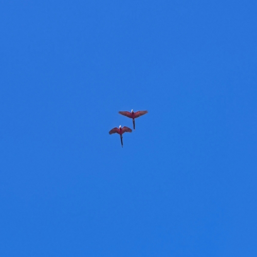
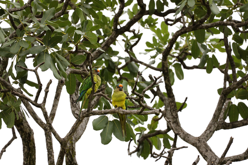
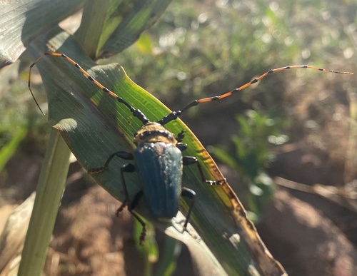
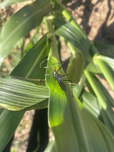
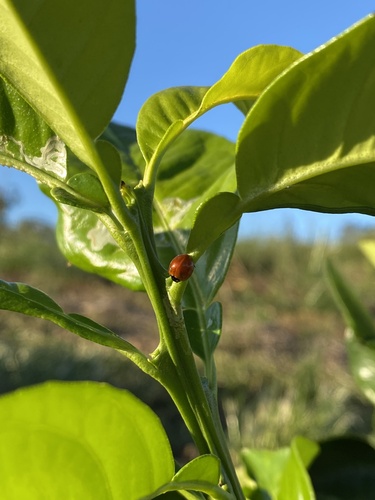
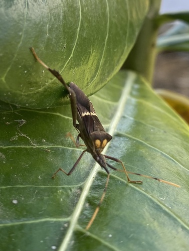
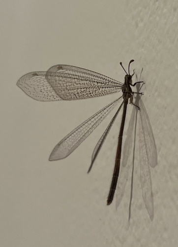
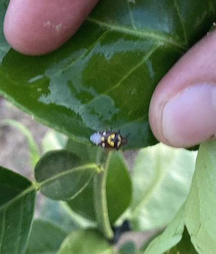
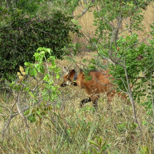
Research-grade observations from iNaturalist (within ~15 mi).
Events
Gallery
Official Identifiers
IBGE — Brazilian Institute of Geography and Statistics
- IBGE code
- 5220702
- UF
- GO
- Mesorregião
- Leste Goiano
- Microrregião
- Vão do Paranã
servicodados.ibge.gov.br
Sources
- • Wikipedia
- • Wikidata
- • USGS Earthquake Catalog (global feed)
- • GBIF (Global Biodiversity Information Facility)
- • iNaturalist
- • Open-Meteo / sunrise-sunset.org
- • Wikipedia Pageviews API
- • IBGE — Brazilian national statistics, via servicodados.ibge.gov.br (official municipal code, UF, mesorregião, microrregião, region)
- • IBGE — Brazilian Institute of Geography and Statistics — servicodados.ibge.gov.br